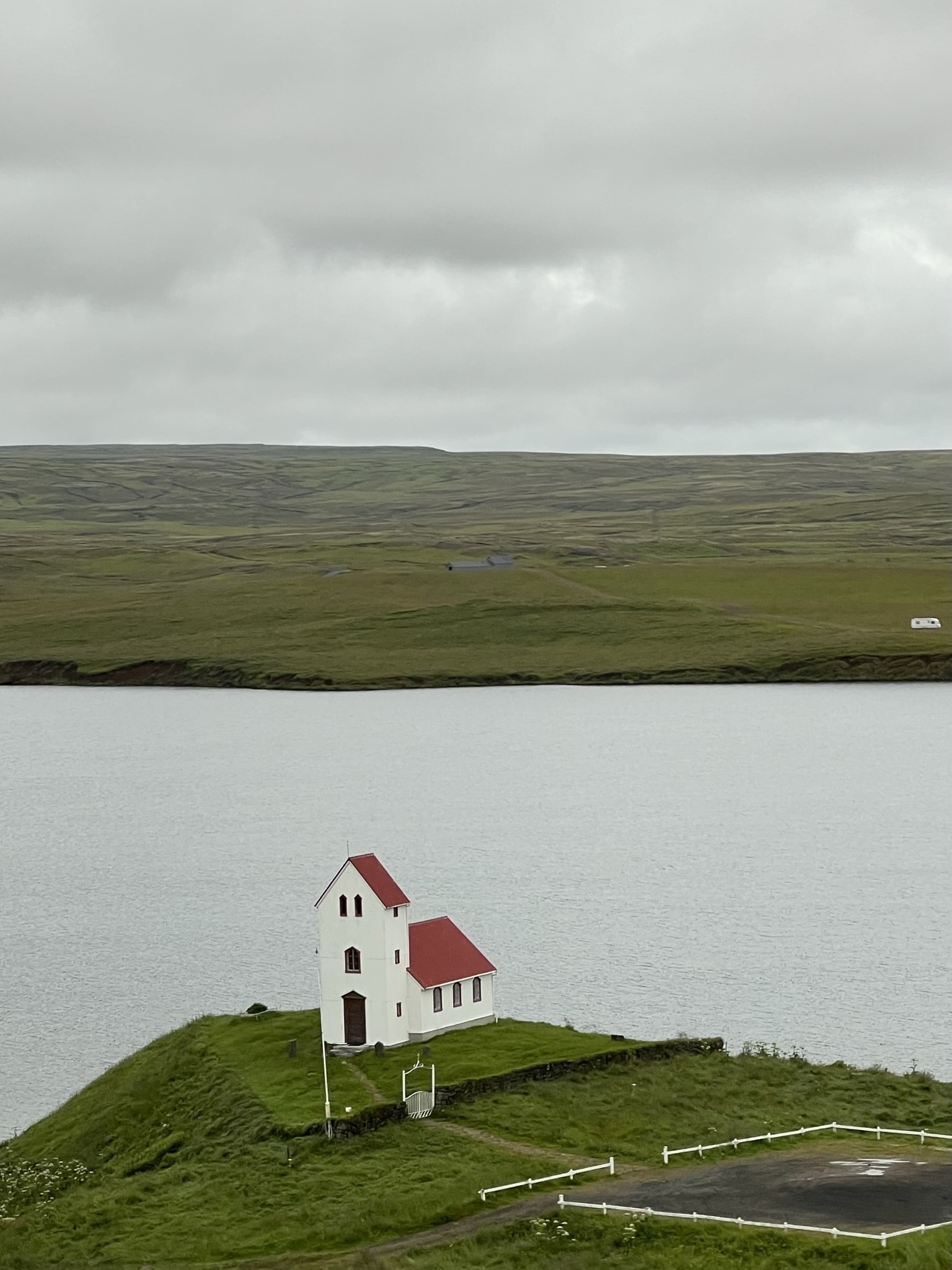
We began our driving trip in Iceland with Valdimar traveling around the Golden Circle. He came to pick us up in new black Chevy suburban, plenty of room for us and the luggage and very comfortable. Valdimar is in his 60’s and has spent time in the USA in Los Angeles and in the Screen Actors Guild. It wasn’t what he expected and he came back home to Iceland to their television etc and spends time sharing his country with tourists. His off season without his family is the Dolomites for skiing in winter. He and Michael had such fun talking bands and bands they played in and just general rock in roll. Larkin and I enjoyed the view out the window and let them chat!
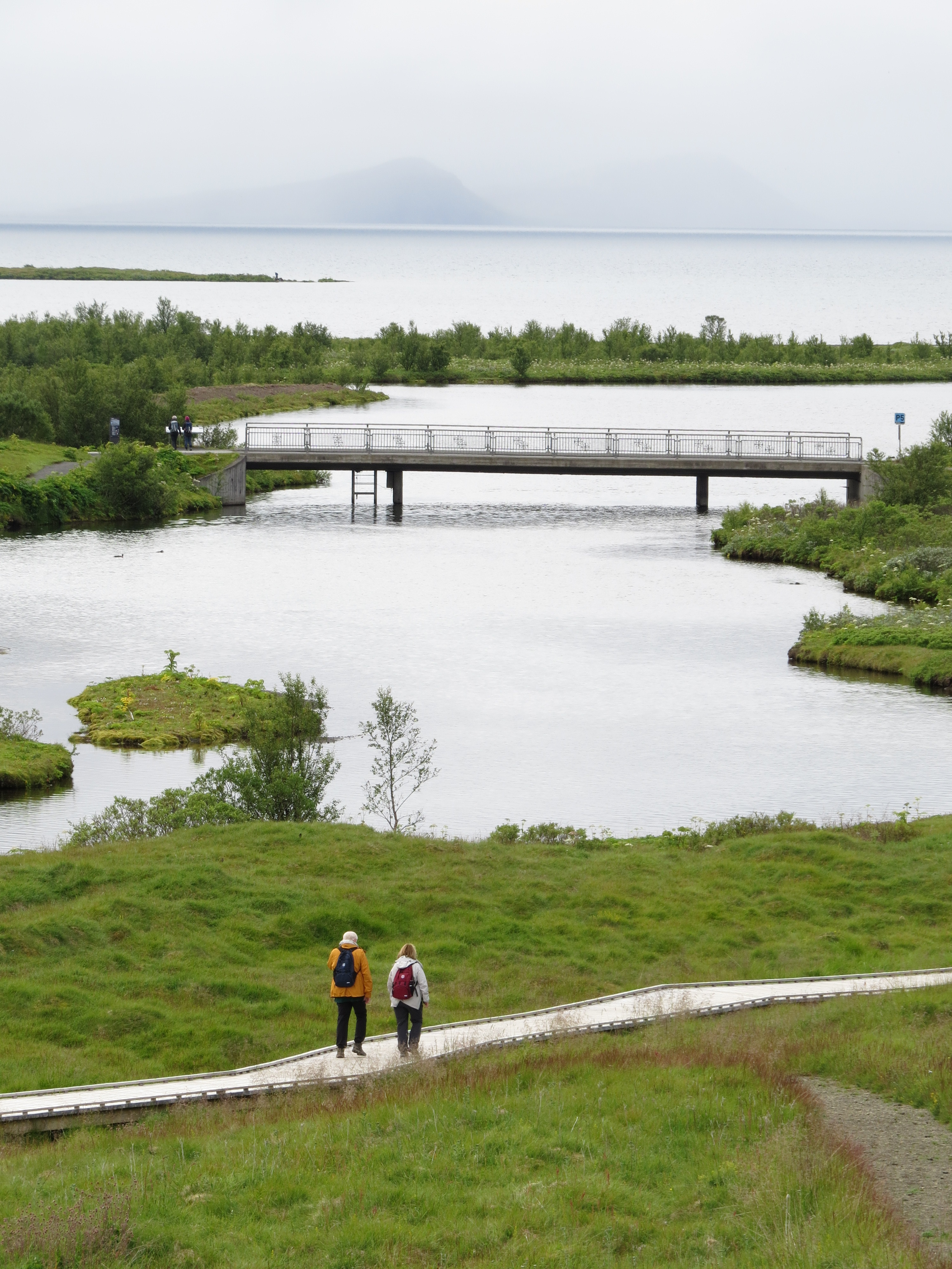
The Golden Circle is an Icelandic marketing term for the 190 mile round trip loop out of Reykjavik. The name Golden Circle is derived from the name of the Gullfoss waterfall which means “golden waterfall” in Icelandic. Gull – golden; foss – waterfall. The Golden Circle incorporates the Pingvellir National Park, the Gullfoss waterfall and the geothermal area in Haukadalur. However, we started our tour at Pingvellir National Park where Iceland truly started as a country.


Iceland is on the front lines of the battle between two tectonic plates which float on our Earth’s crust. It is known as “the land of fire and ice.” This geologic hot spot includes earthquakes, volcanic eruptions and geysers which also provide Iceland with abundant geothermal energy. There are more than 200 volcanoes on the island. Iceland is not as harsh a place as it seems it could be due to it being at the tail end of the Gulf Stream Current which flows up through the Atlantic Ocean bringing relative heat from the tropics. Large portions of Iceland thaw each summer but only 20-25 percent of the island is habitable.
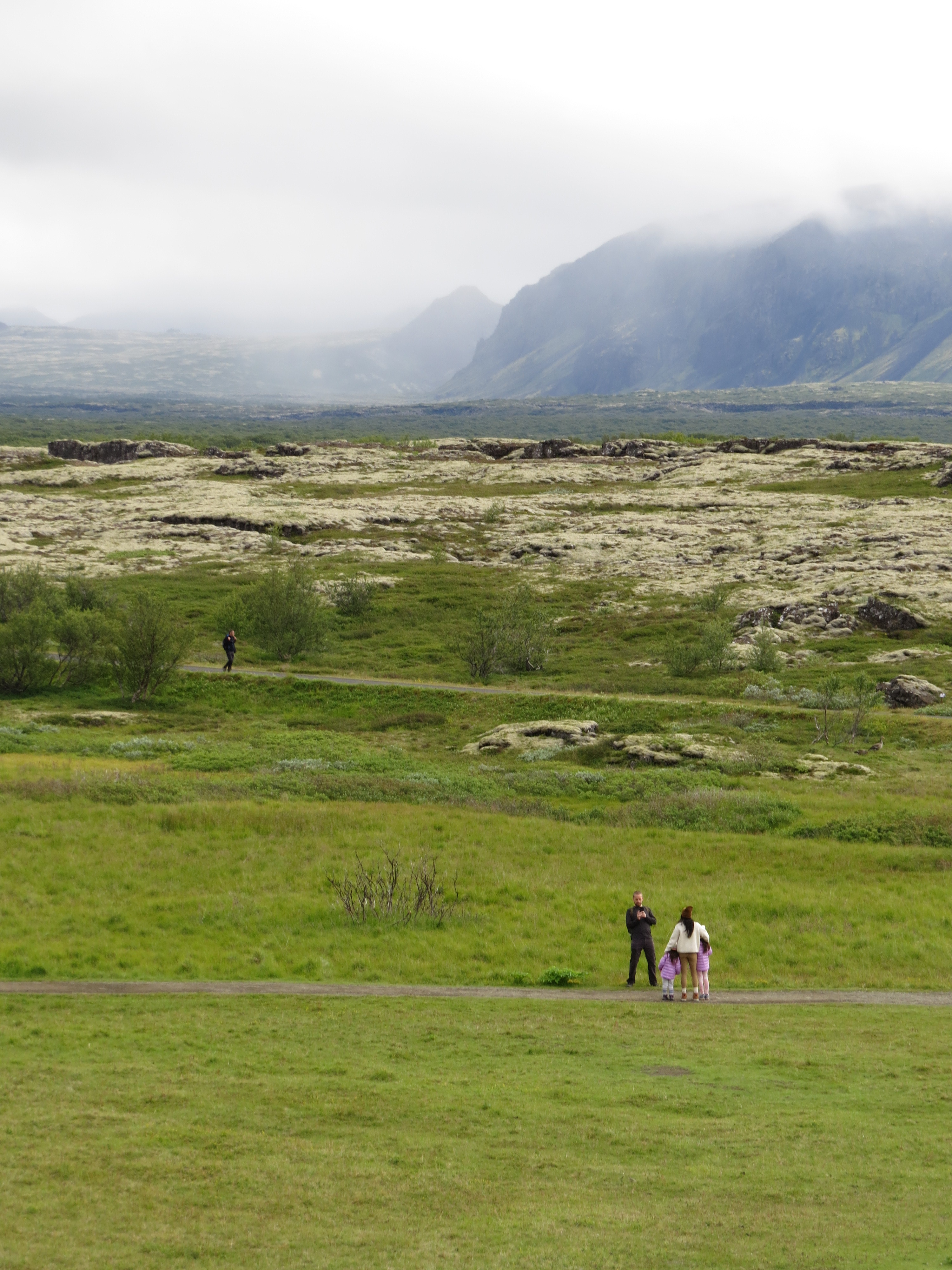
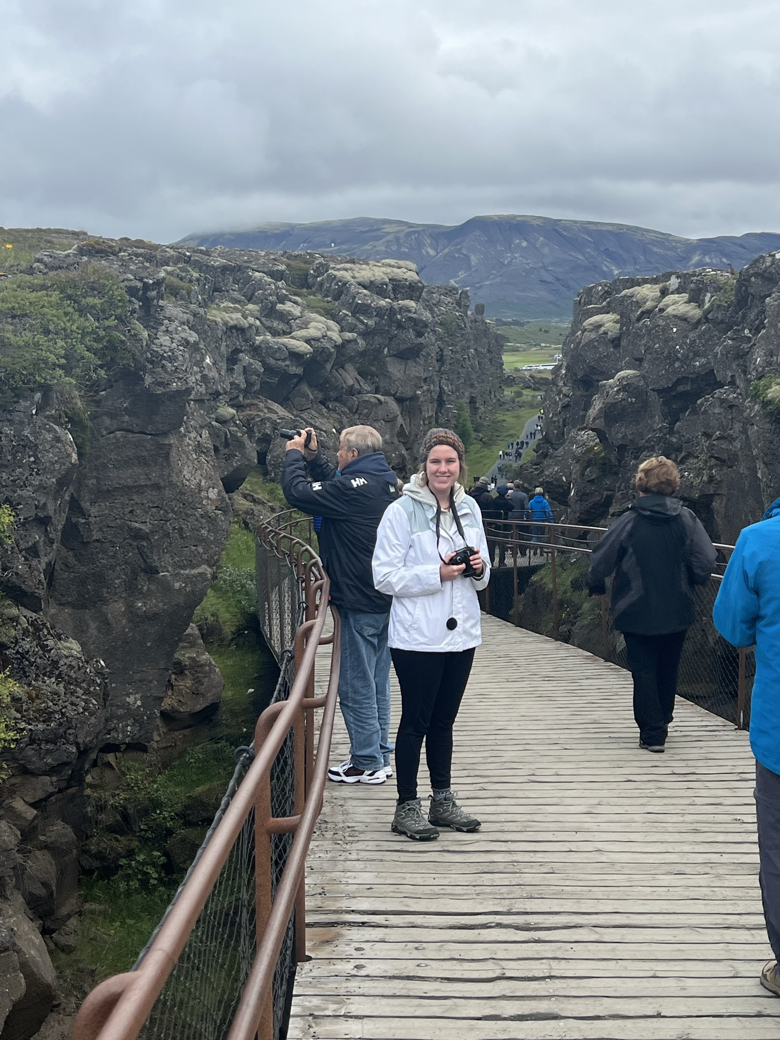
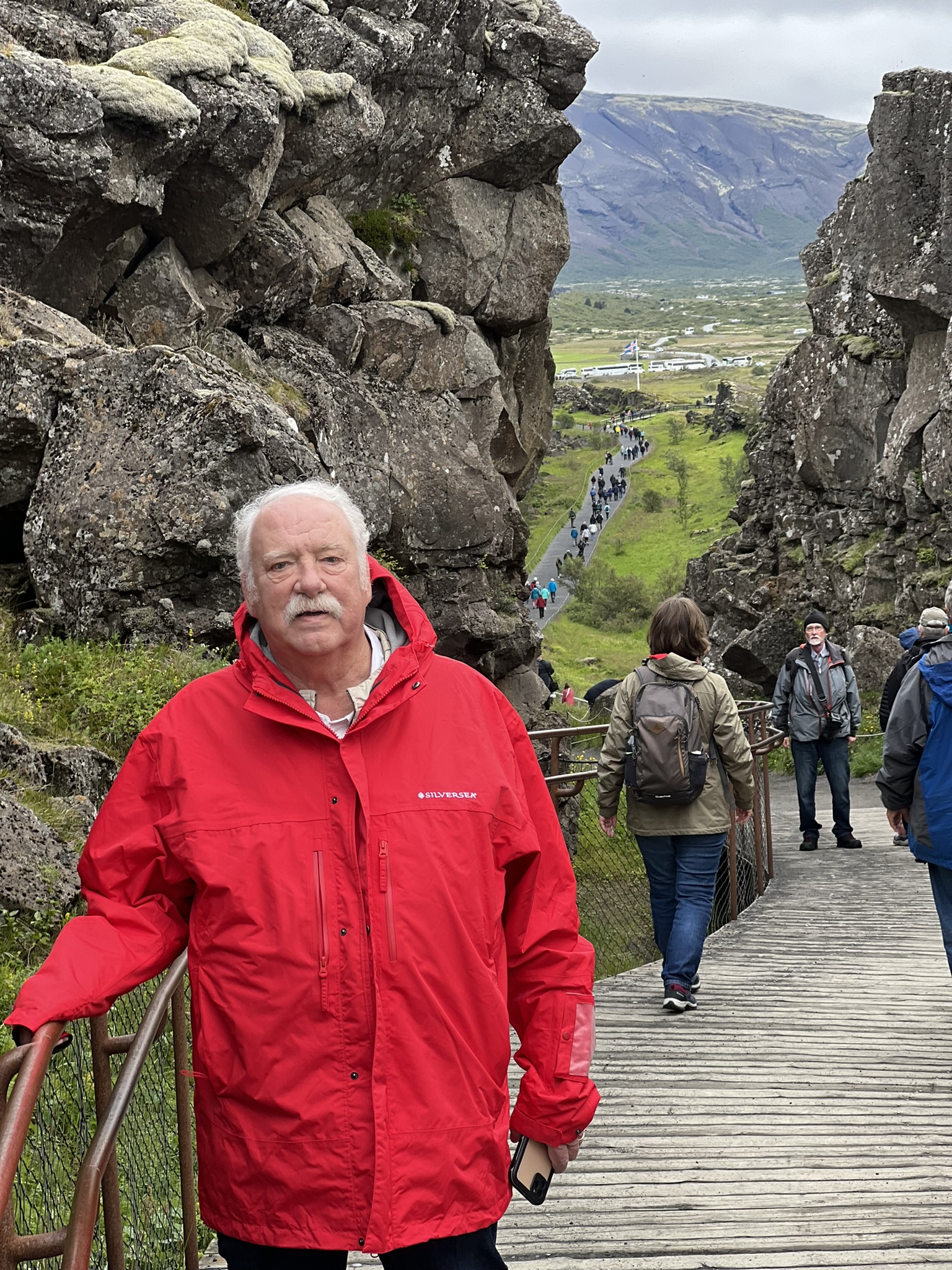
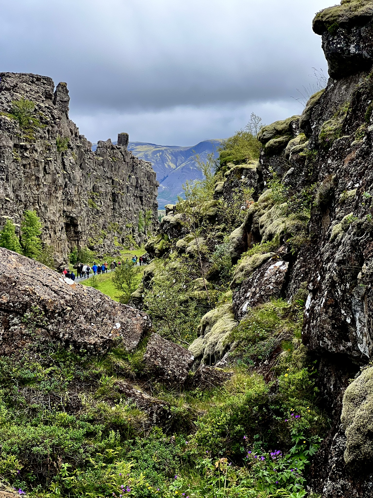
Pingvellir National Park, this incredible geologic feature, highlights the creation of Iceland’s rift valley on the mid Atlantic Ridge – an area where the Eurasian and North American plates are actually pulling apart. This portion of the mid-Atlantic ridge is the largest portion exposed above sea level. It is one of the few places where you can stand on the ridge on dry land. Volcanic eruptions along this ridge create new ocean floor and keep pushing these two tectonic plates apart at a rate of 1-20 cm a year. As these plates move apart rocks melt and well up from deep in the crust producing enormous volcanic eruptions of basalt which build long chains of volcanoes. The area we are walking along in the photo is called Almannagja which is a tectonic fissure. It was incredible to look across the rift valley knowing the other hills we saw were an entirely different continental plate, the Eurasian plate.
Although the first people in Iceland were most likely Celtic monks who built caves along the southern coast in the 8th century (more about that later), Norwegians led by Ingolfur Arnarson, supposedly drove them out when they arrived in the 9th century. Arnarson sailed with his family, slaves and animals. We heard many stories including he was a man who killed someone in Norway and had to flee. We were told he, and or others along the way stopped in Britain and captured women as slaves hence the celtic genes along with the Scandinavian genes in Icelanders. He gave Reykjavik its “smoky bay” name. Many other Vikings followed him to Iceland. Fishing was fabulous and sheep adapted well. According to sources there were 60,000 people in Iceland in 930 AD. In the 11th century the island was converted to Christianity.
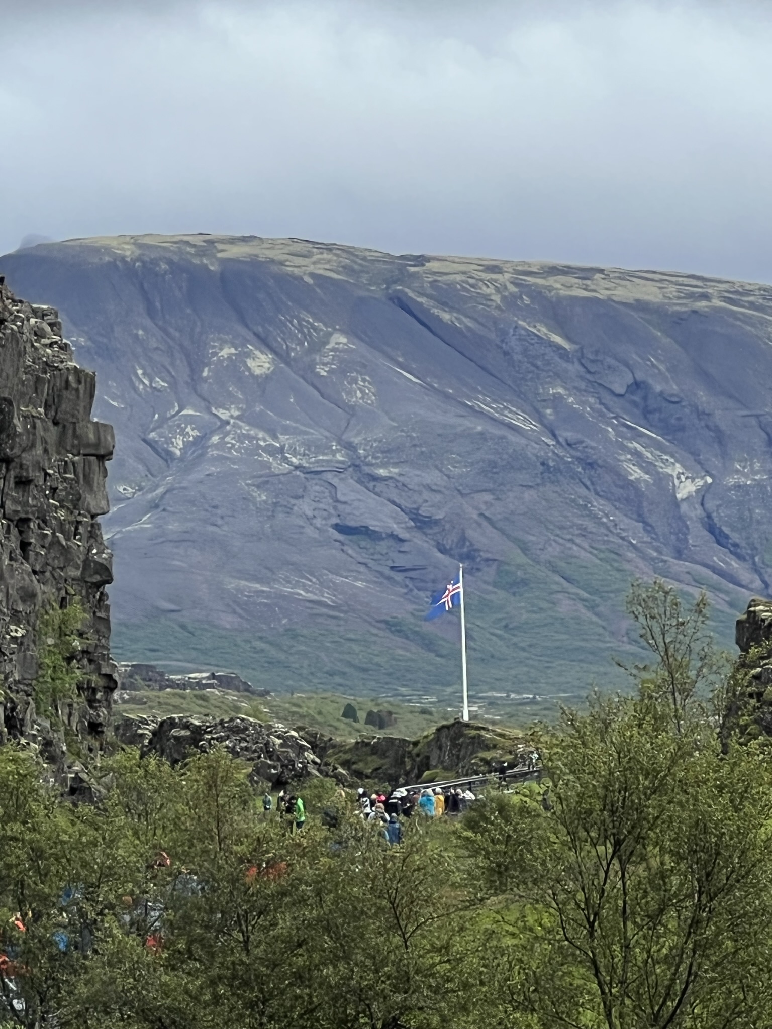
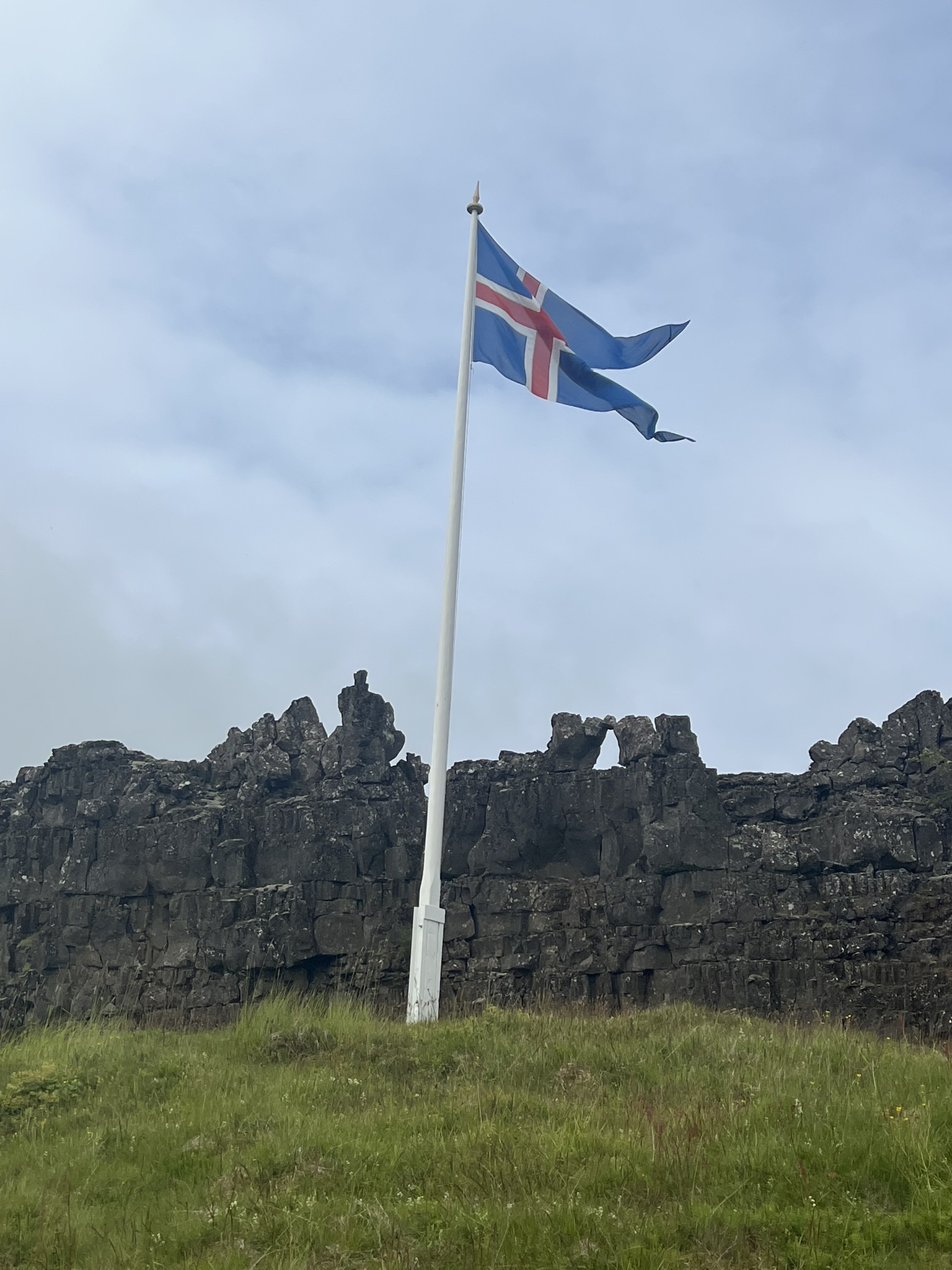
In 930 the powers that be gathered in the area of the flagpole in this rift valley of Pingvellir for the Althing, the annual parliament, and formed a government. During the Commonwealth period, pre Danish rule, this area was used as a gathering location from people all over the country – a pilgrimage destination and a site for the nation-states ritual ceremonies. Temporary dwellings were set up with walls of turf and rock and temporary roofs. Some of these remains can still be seen. People stayed two weeks for the assembly. Thousands of people flocked there – merchants, sword-sharpeners, and tanners sold goods and services. There were entertainers and ale-makers who brewed drinks for the guest. News was shared and games and feasts were held. Pingvellir was a meeting place for everyone in Iceland which laid the foundation for the language and literature. Unlike much of the European continent, Icelanders wrote their history down beginning with the Book of Settlements in 874 AD.
Just like any country, Iceland had their ups and downs which included disease, trade, monopolies, religion and foreign rulers. However, Iceland being the land of fire and ice, had an eruption in 1783 which caused widespread devastation and the population by 1786 was only 38,999. Althing closed and a new court of law replaced it in Reykjavik which at the time was a community of only 300 people.
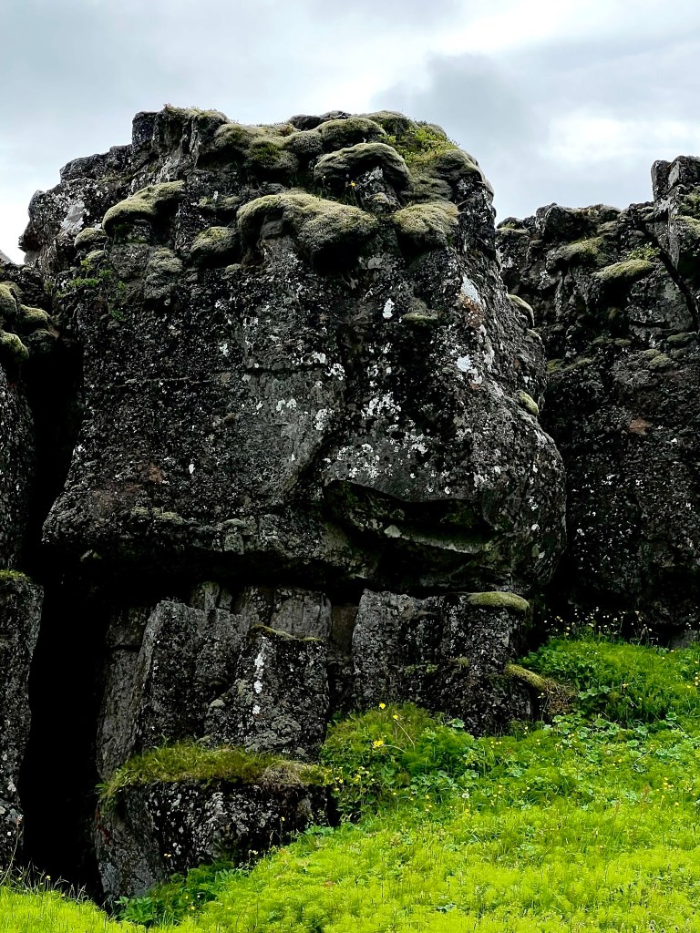
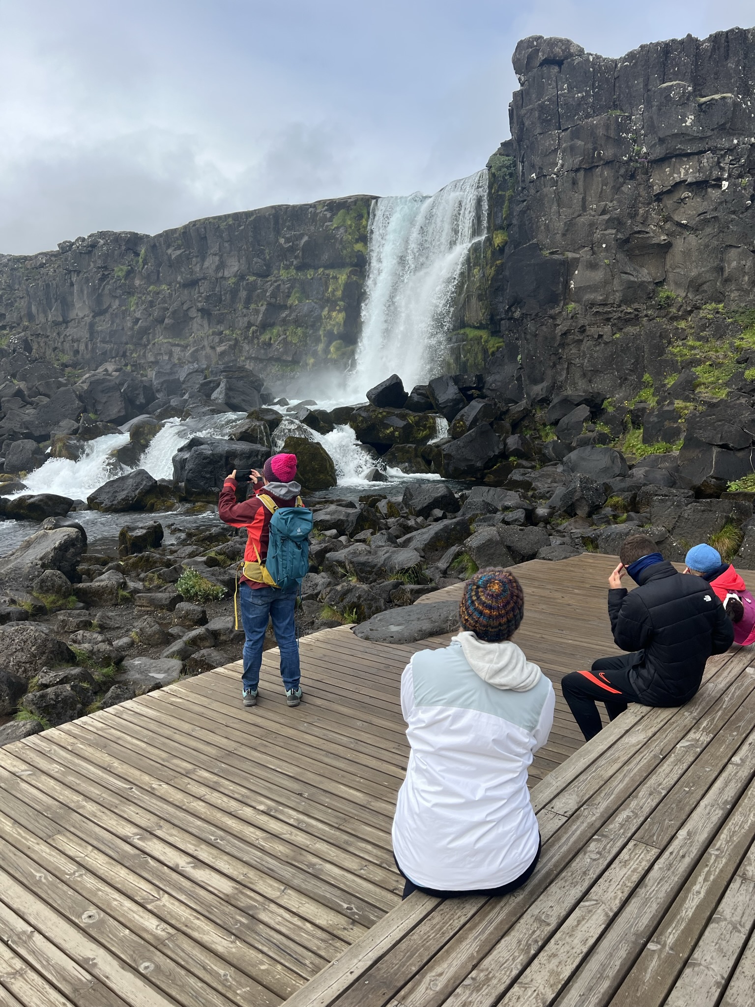
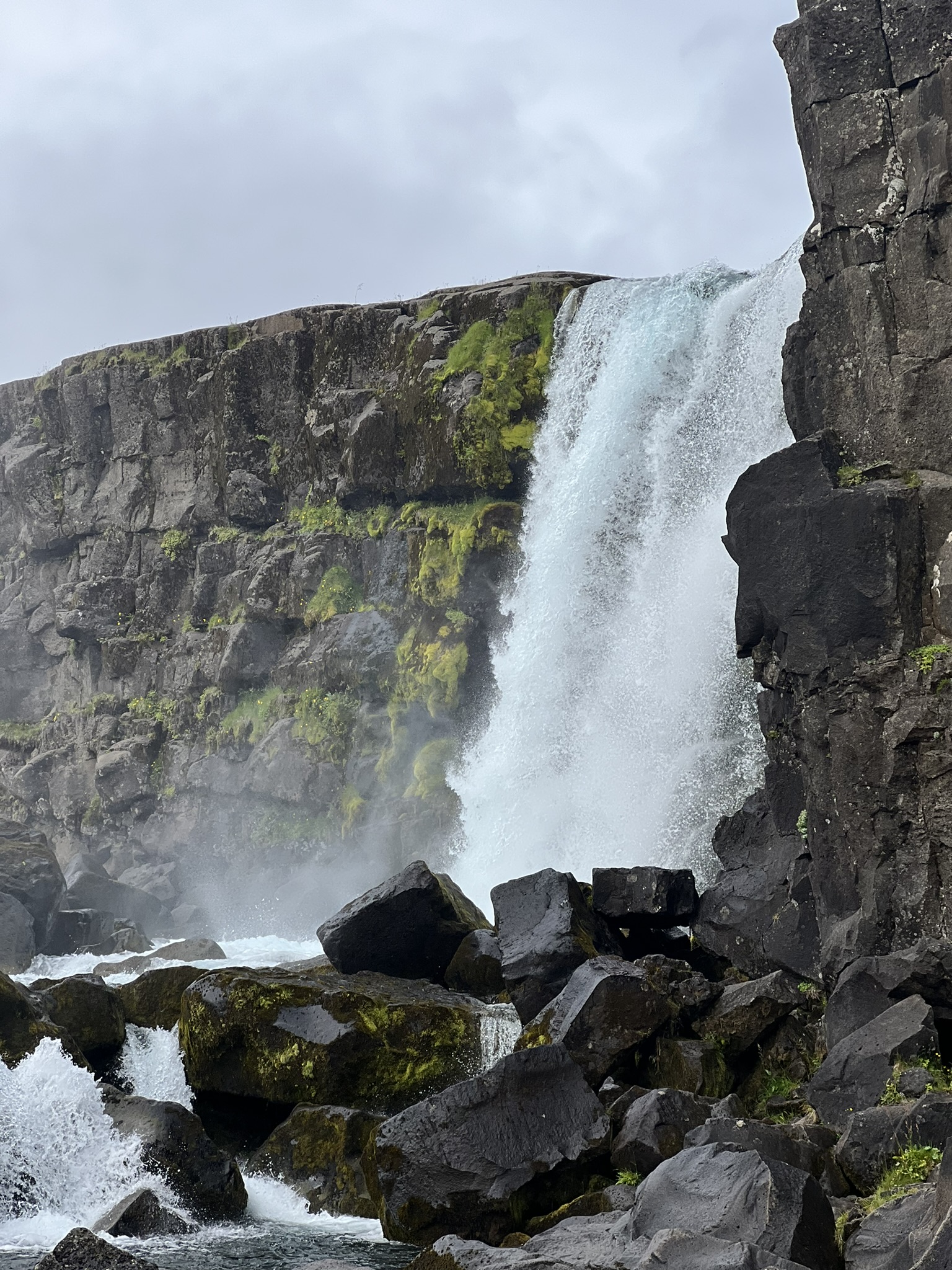
Norway has trolls, Iceland has elves and Ireland has fairies. I’m not sure which of those is seen in the above volcanic rock. After walking through Almannagja gorge area, Larkin and I were able to hike up to see the Oxararfoss waterfall. This waterfall is man-made – created to redirect water into a ravine and runs from the North American plate into the rift valley. It is famous for being a film location on the TV show Game of Thrones. Legend has it that Oxararfoss turns into wine at the stroke of midnight on New Year’s eve. Woo hoo if it is true!

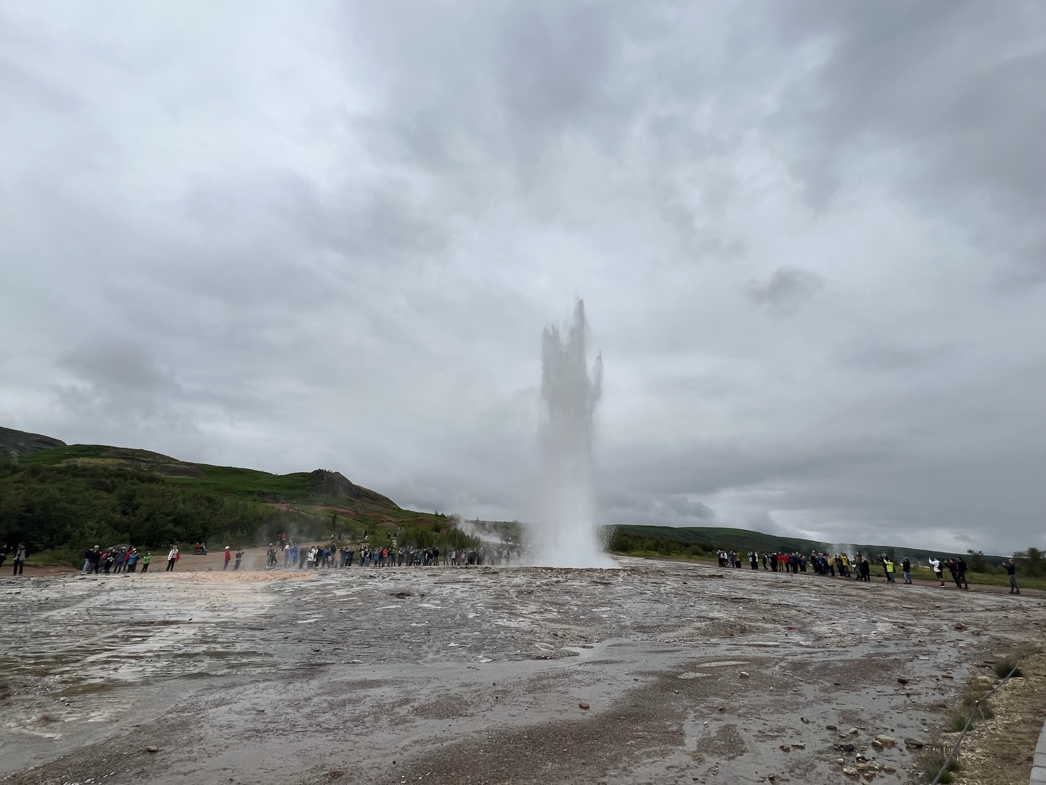
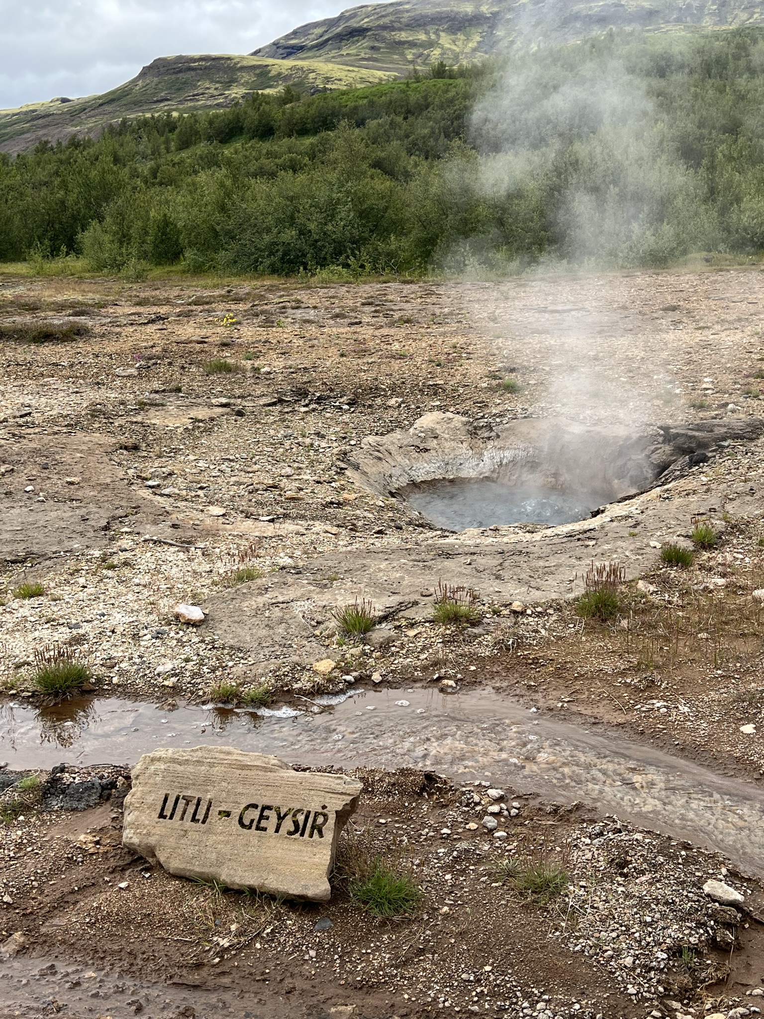
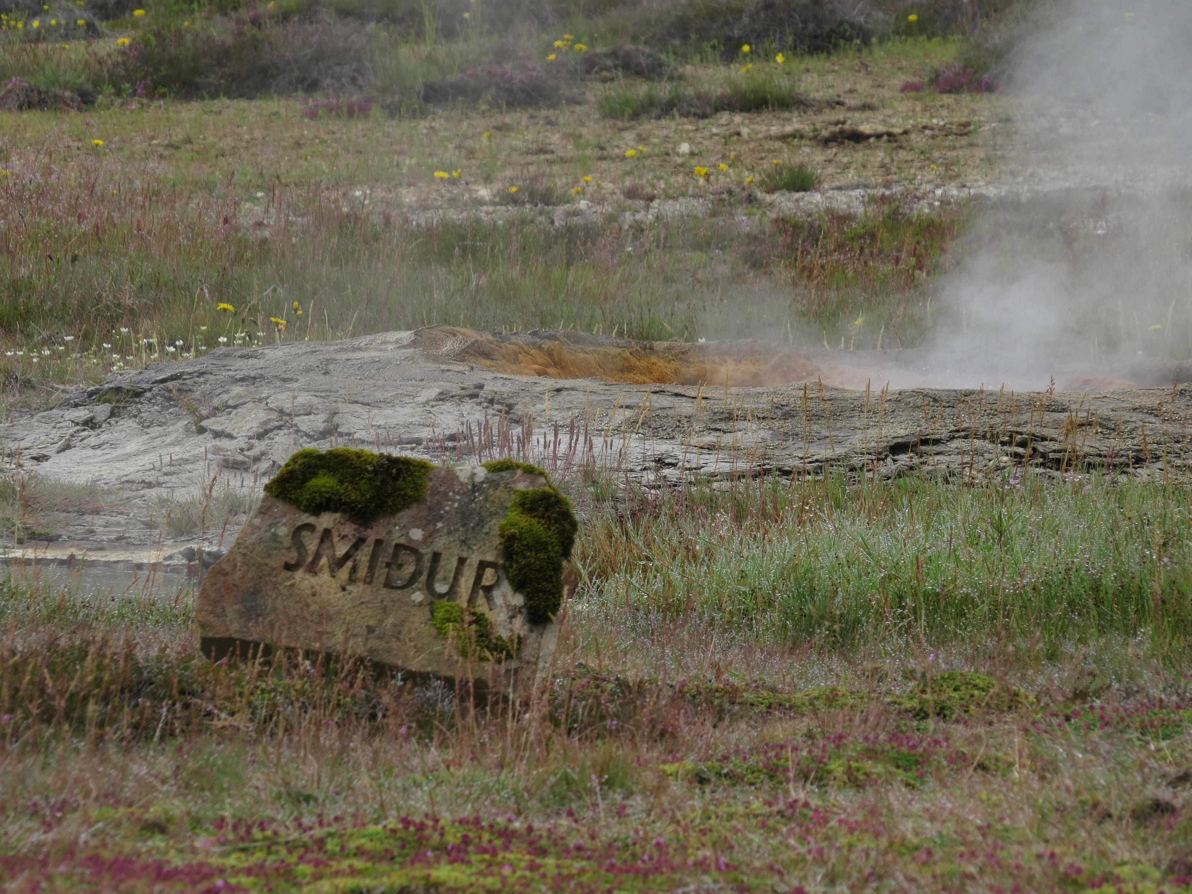
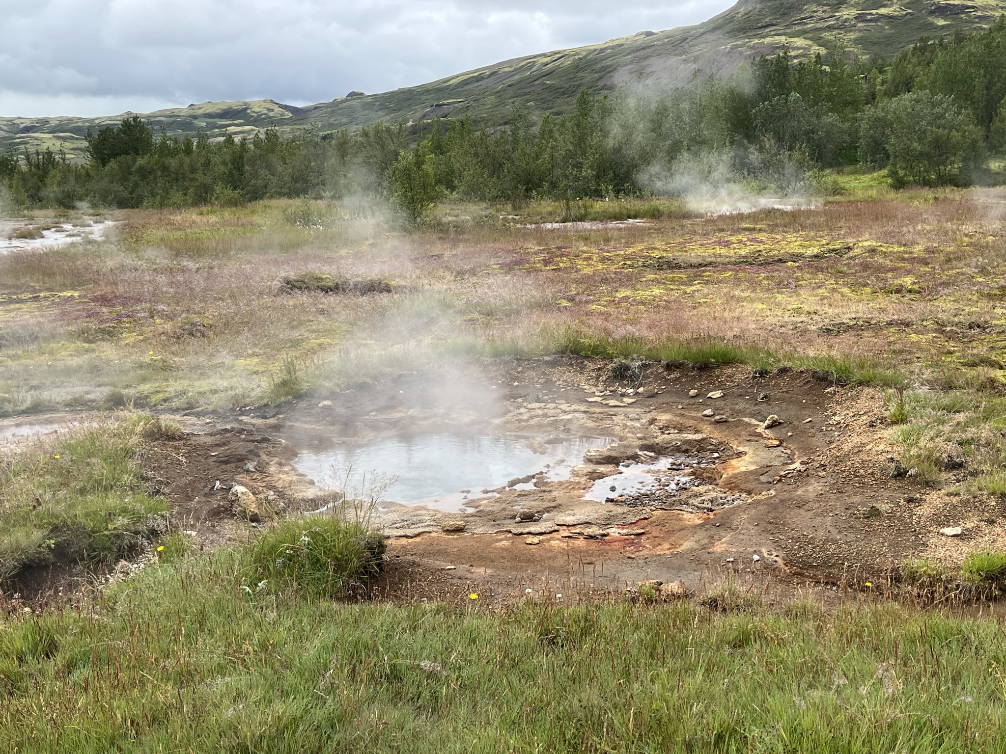
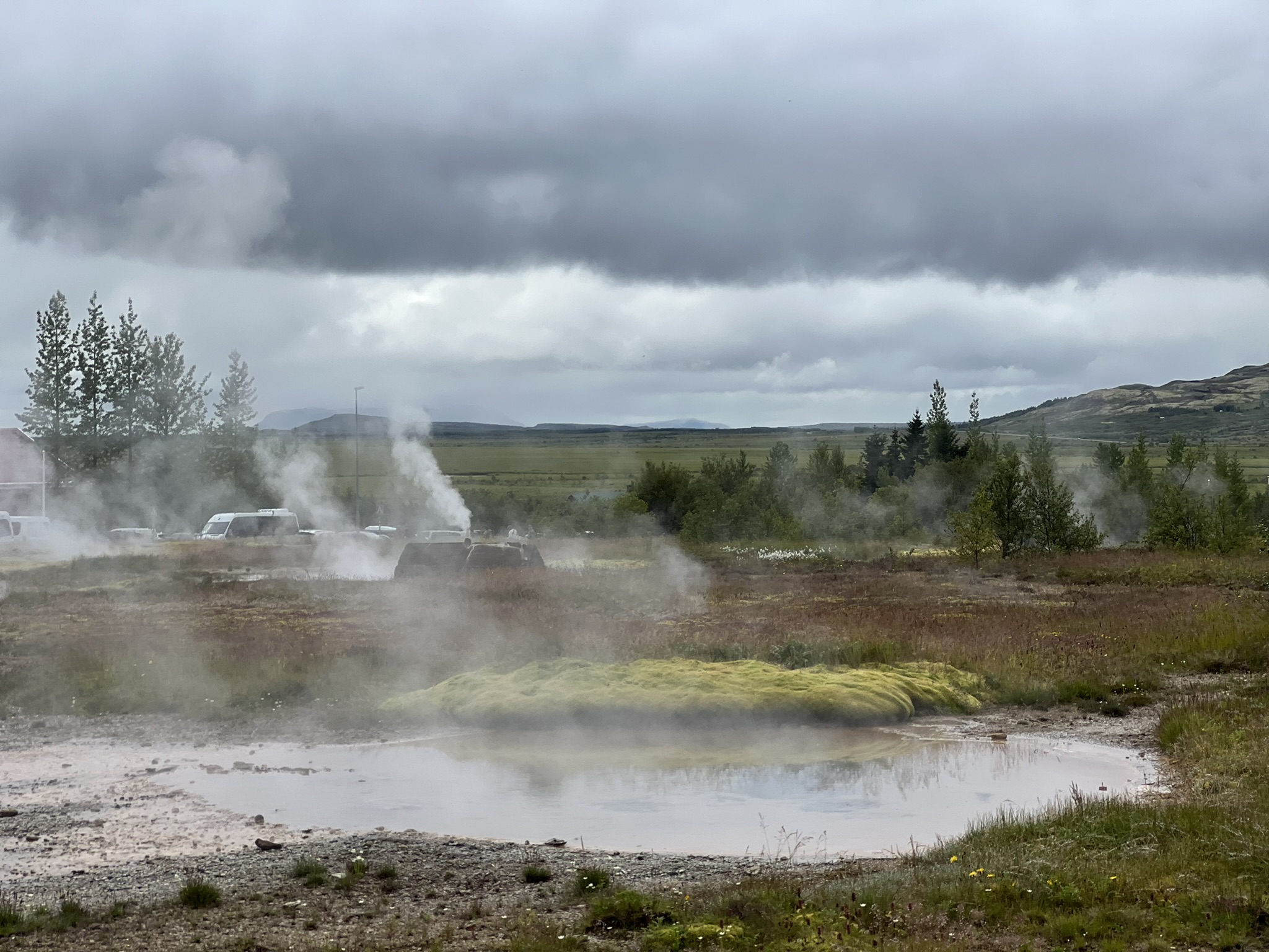
Next up along our drive was the thermal area called…Haukadalur which means valley of the hawks. It was first mentioned in written sources around 1294 when the local hot springs were activated by an earthquake. There are two major geysers, Strokkur, which goes up every 5-10 minutes and Geysir, which now only goes up rarely. Forty or more hot springs, mud pots and fumaroles grace just this area. It doesn’t quite look like the yellowstone but hot spots never cease to amaze. As we know after our trip, even what we saw has changed as the landscape continues to transform this island.
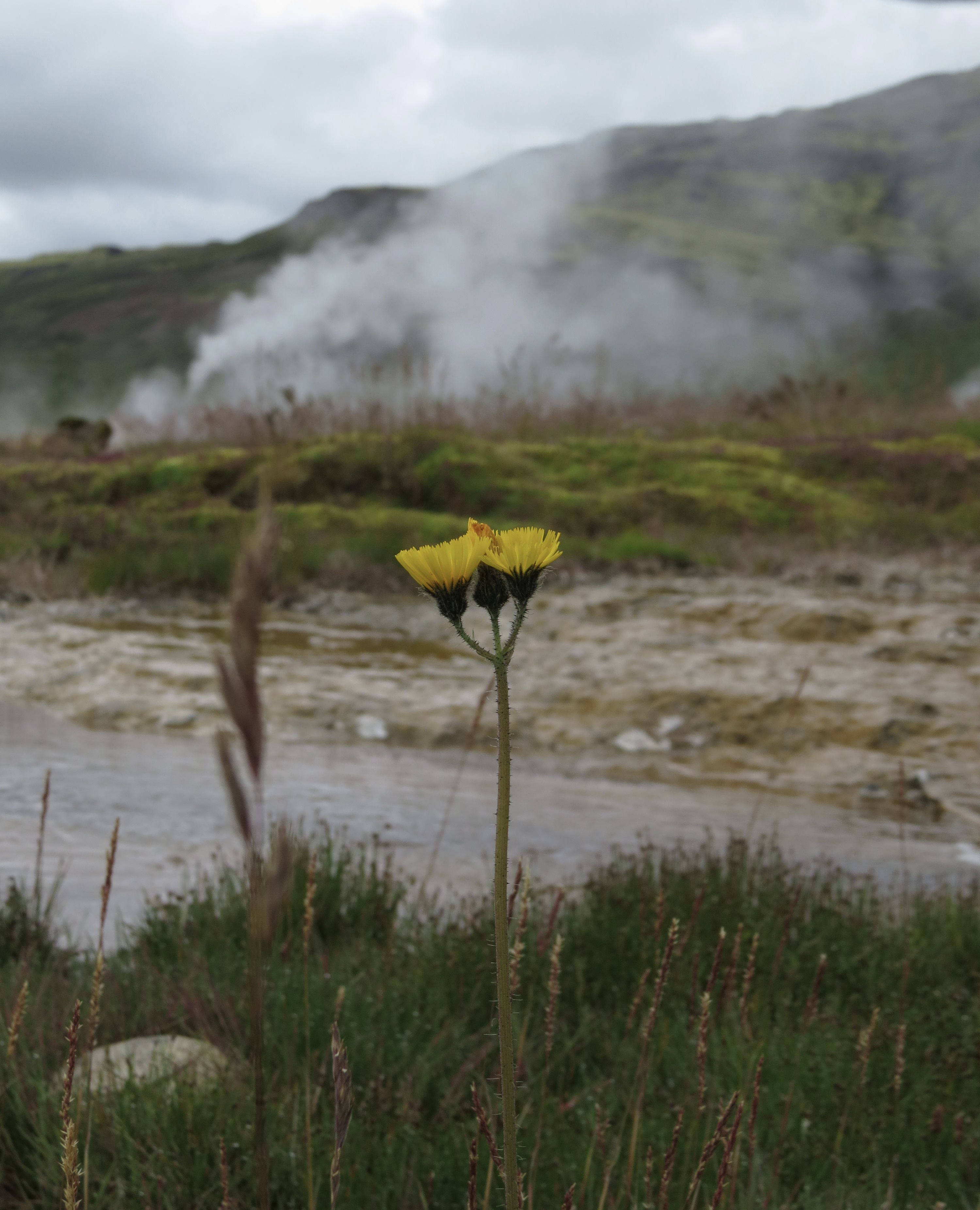
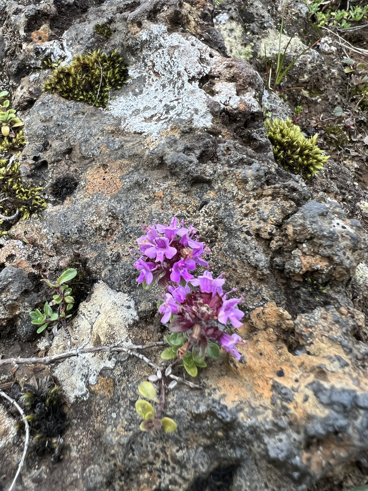
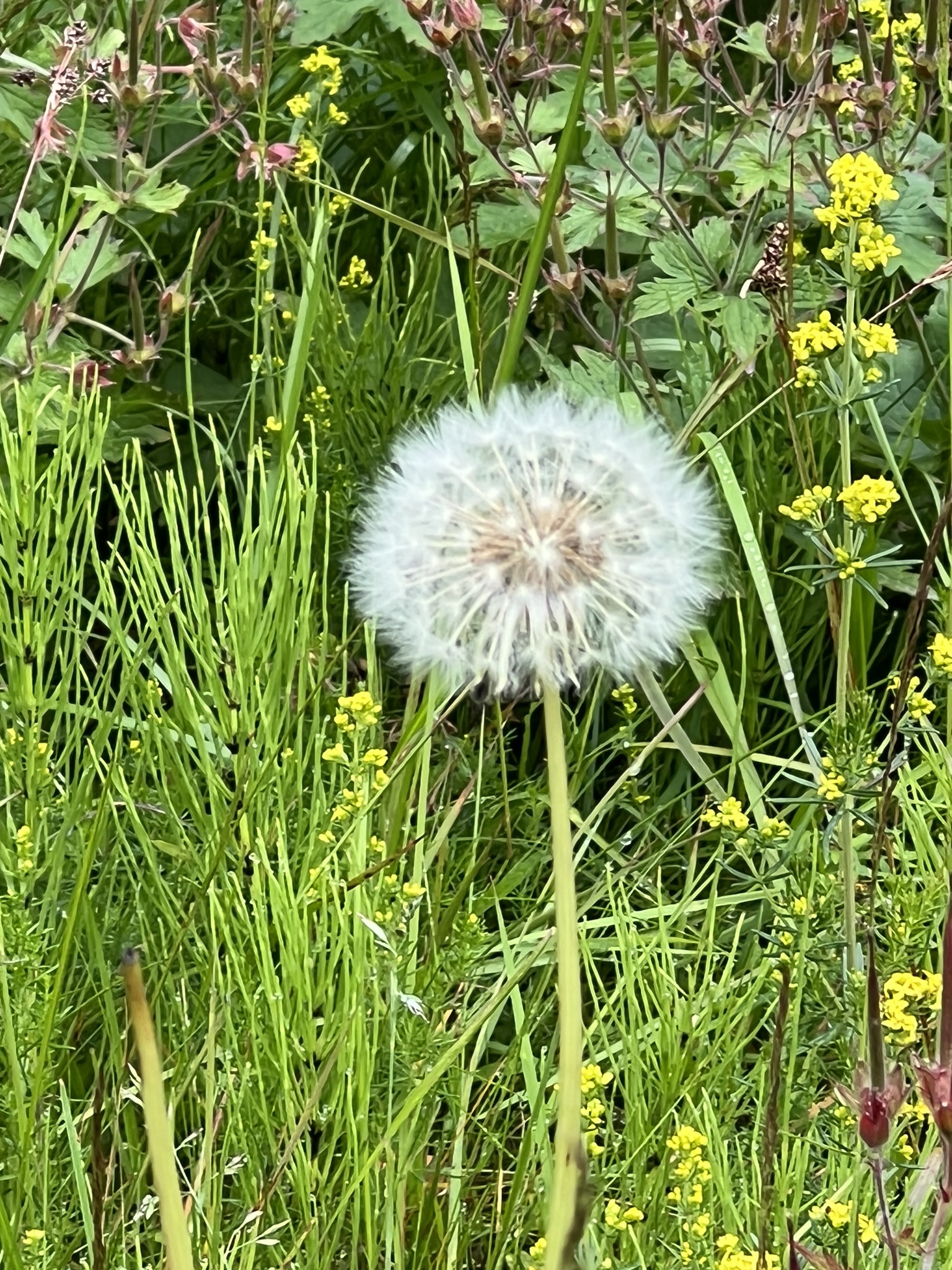
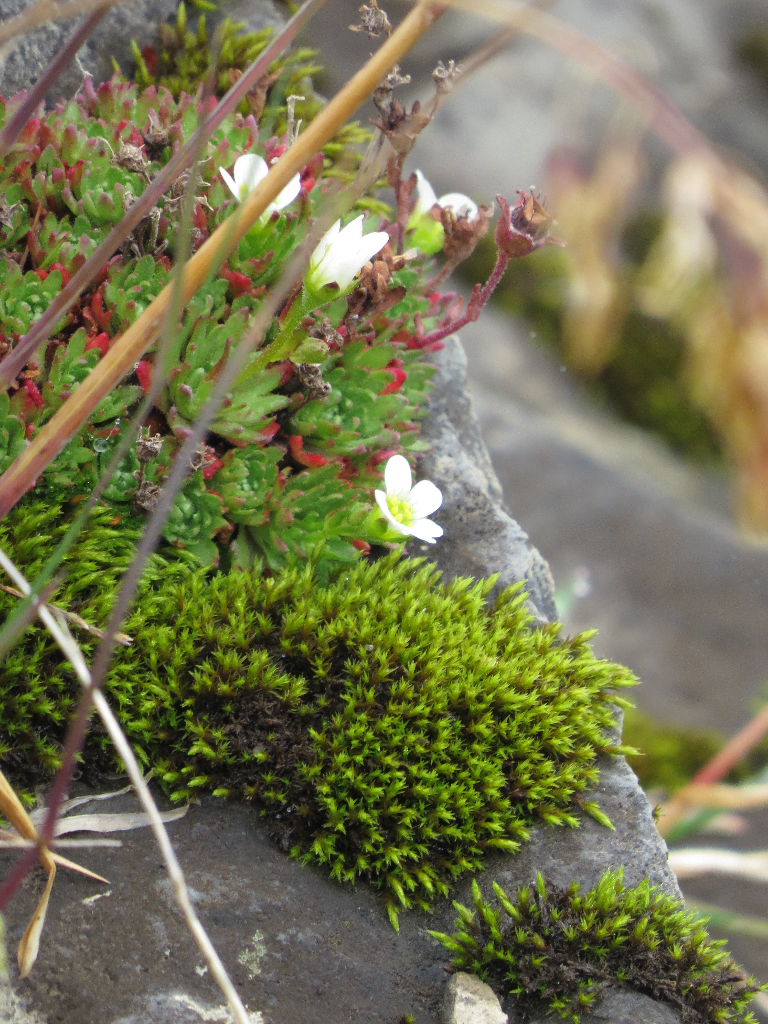
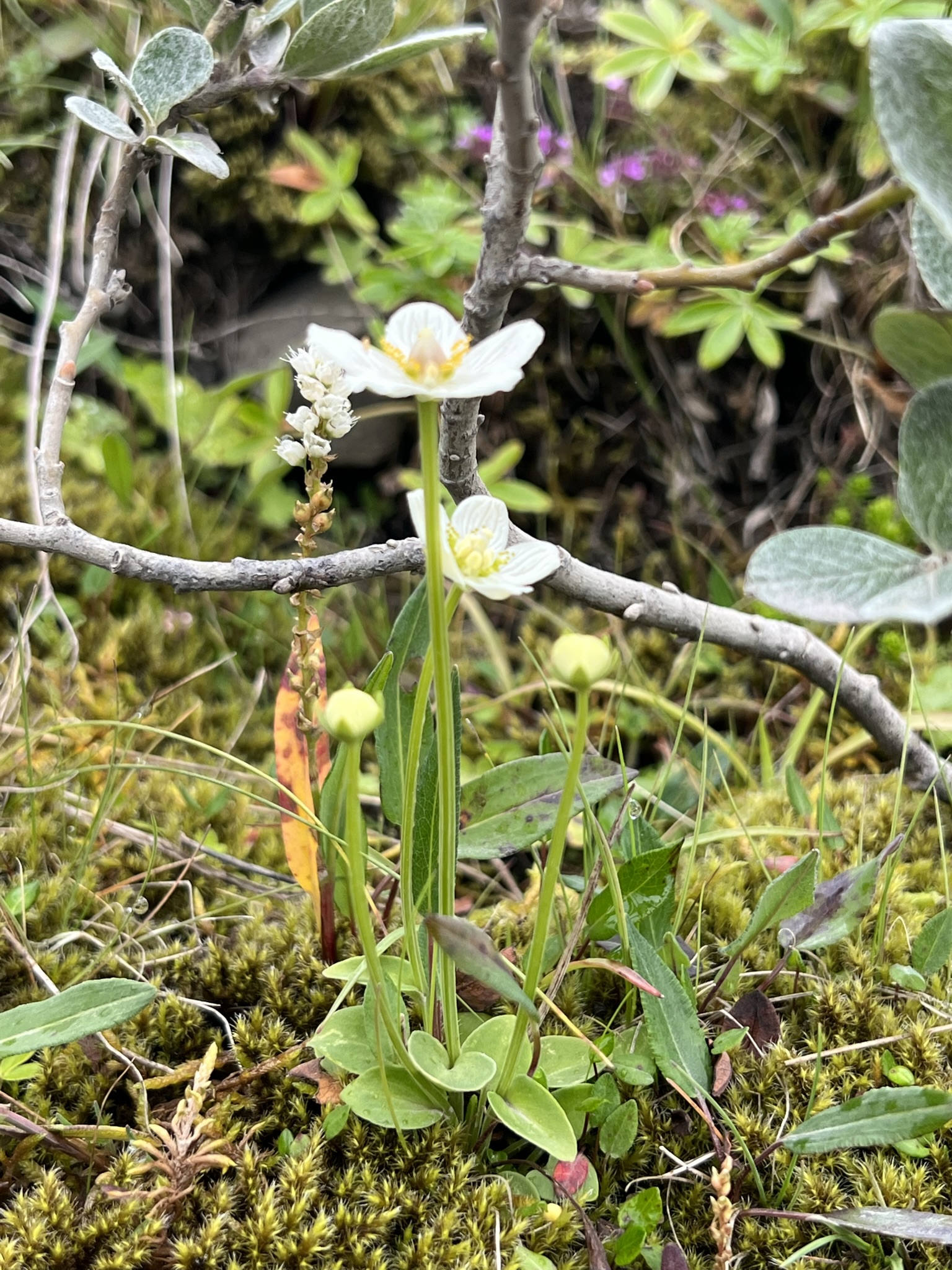
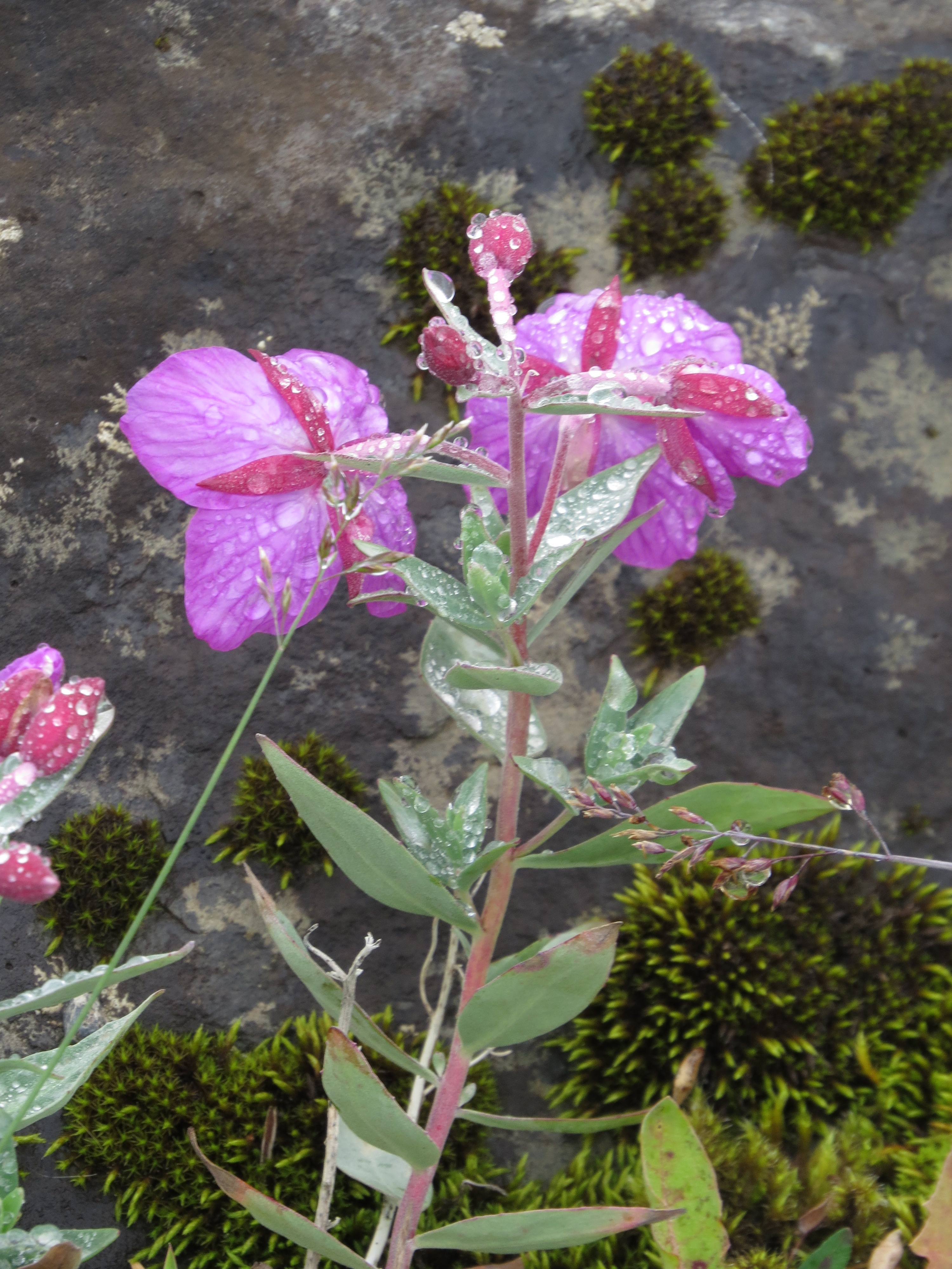
Larkin and I both enjoying capturing flowers, even the ubiquitous dandelion.

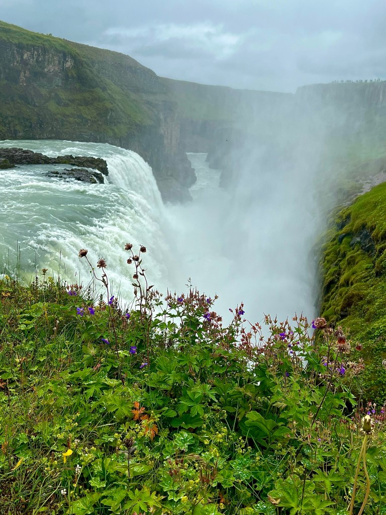
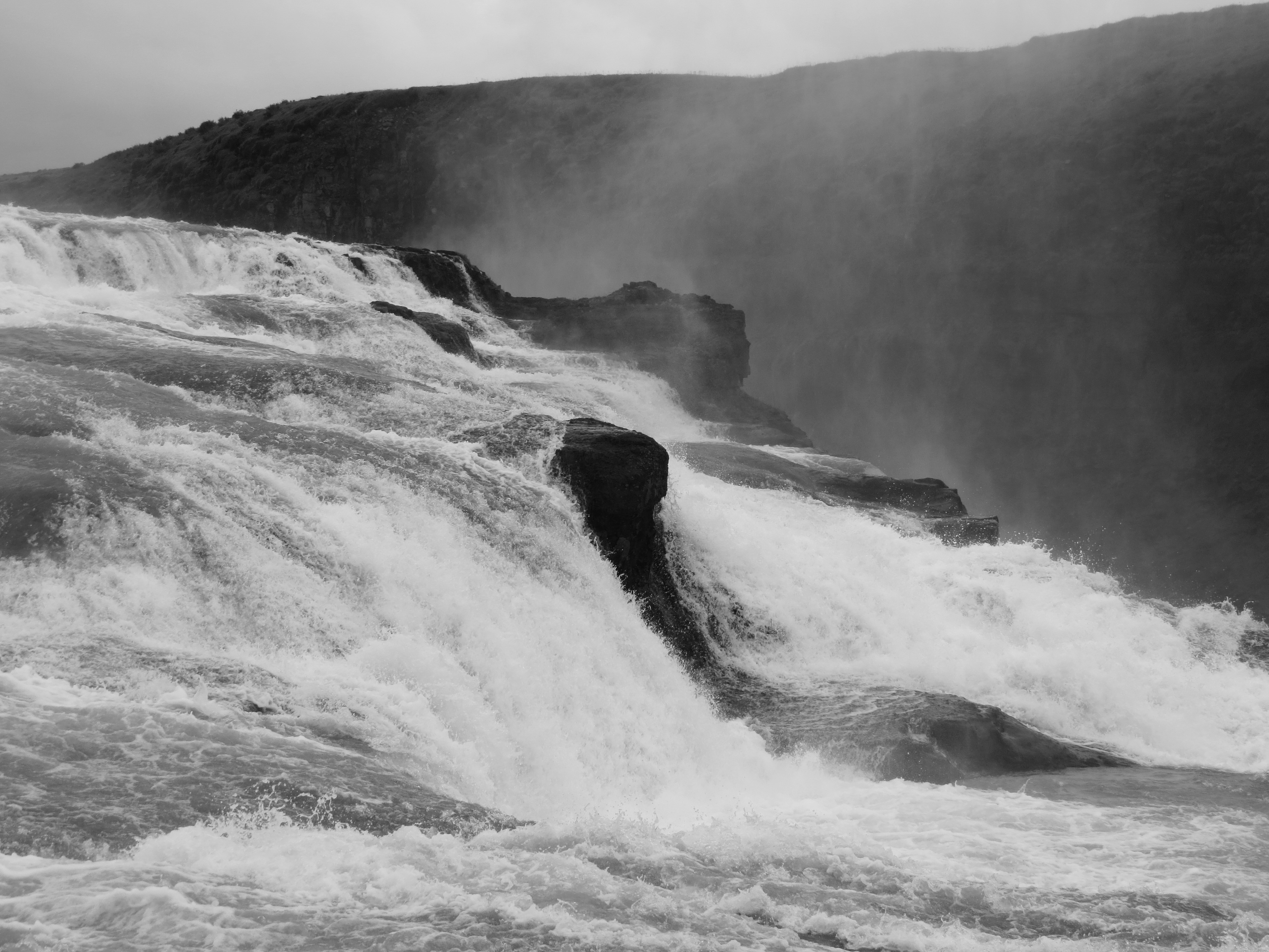
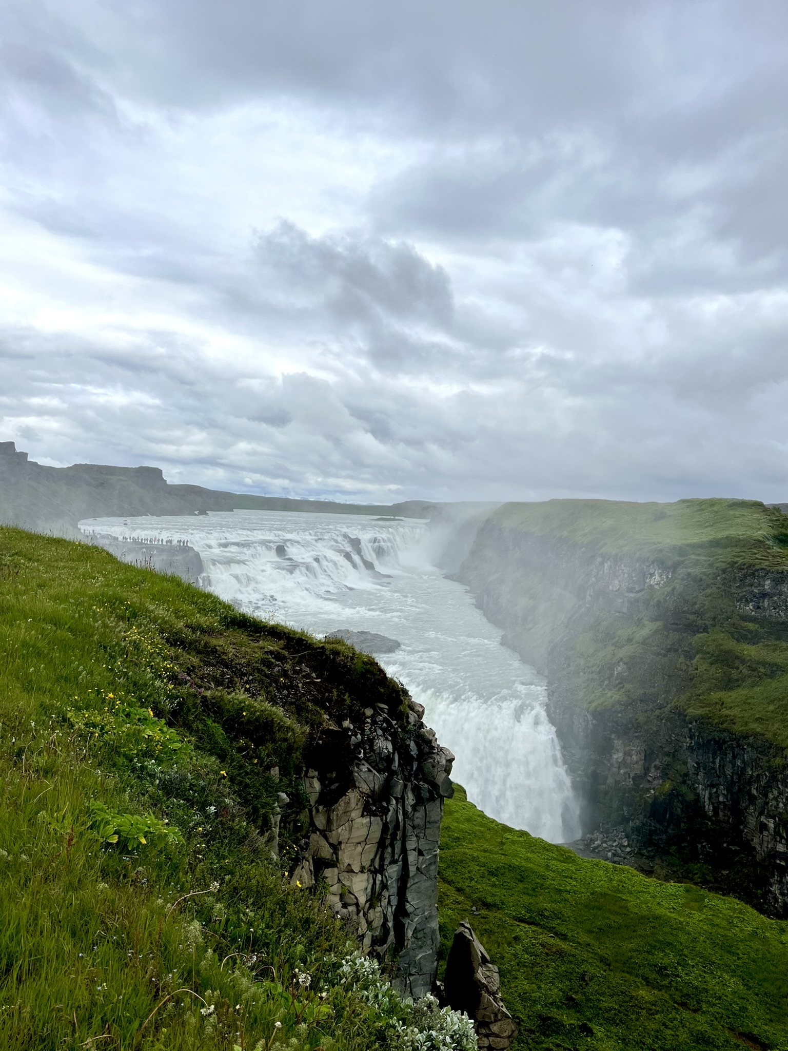
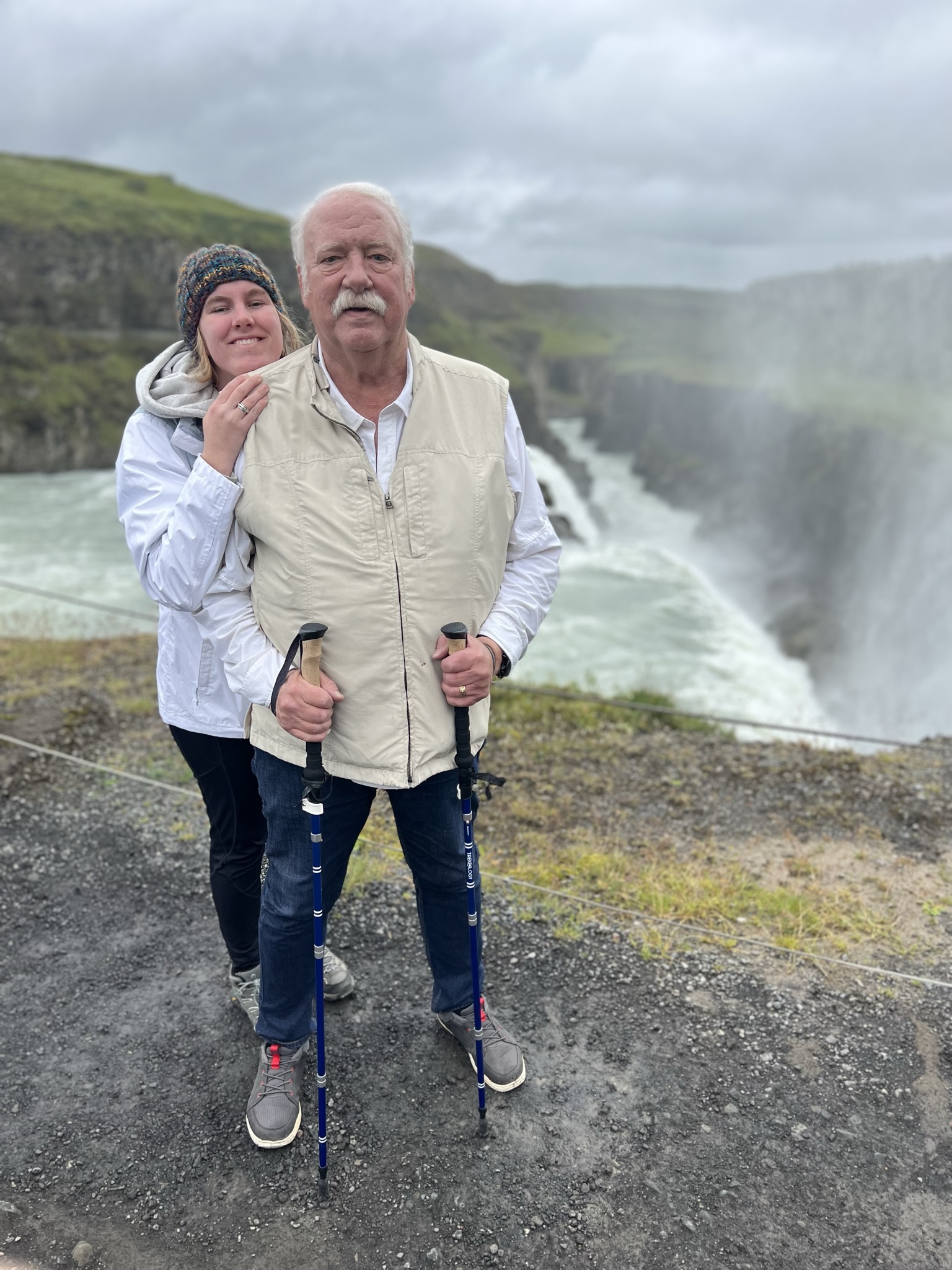
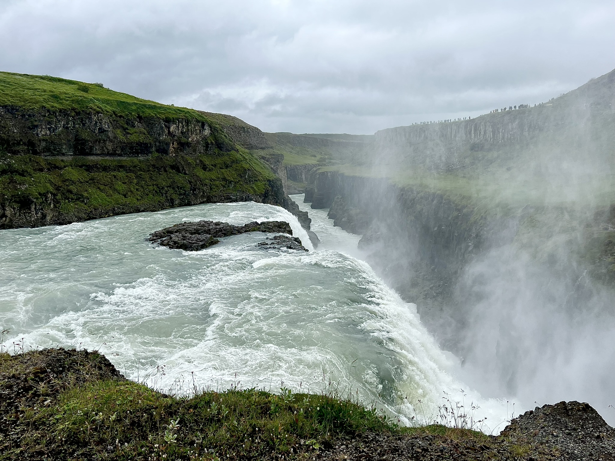
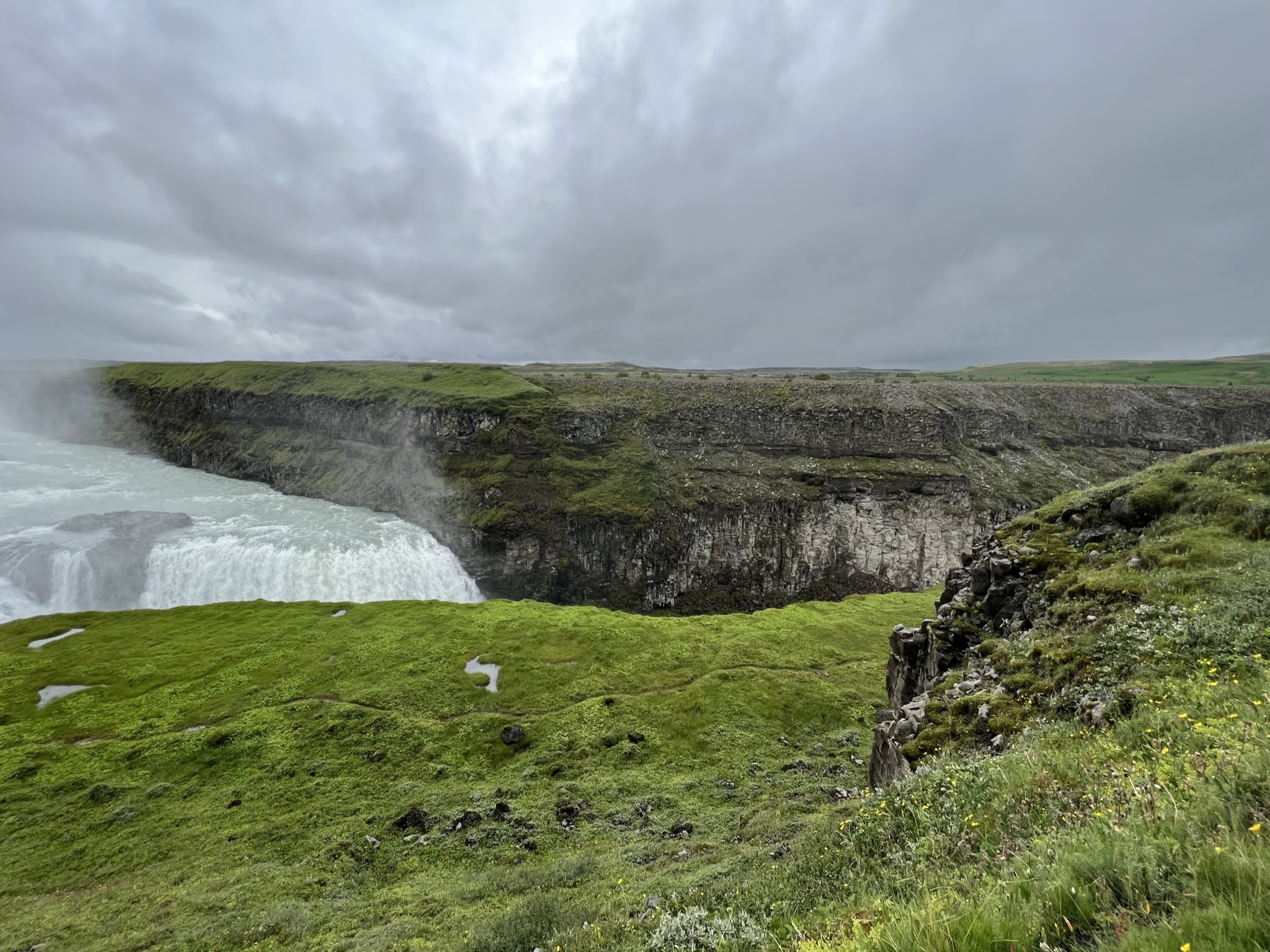
The Gullfoss waterfall in the canyon of the Hvita River is stunning in both its beauty and its power with its two tiers rising a total of 105′. By volume it is the largest waterfall in Europe. The water often reflects the sunlight and can give the waterfall a golden hue. Rainbows are often captured on film in the clouds of the mist that Gullfoss creates, but our day was too overcast. At one point in time, private owners wanted to turn this into a hydroelectric plant and thank goodness a lack of money and the first Icelandic environmentalist, daughter of the original owner, was able to find various ways to help protect this national treasure and donate it to the government.
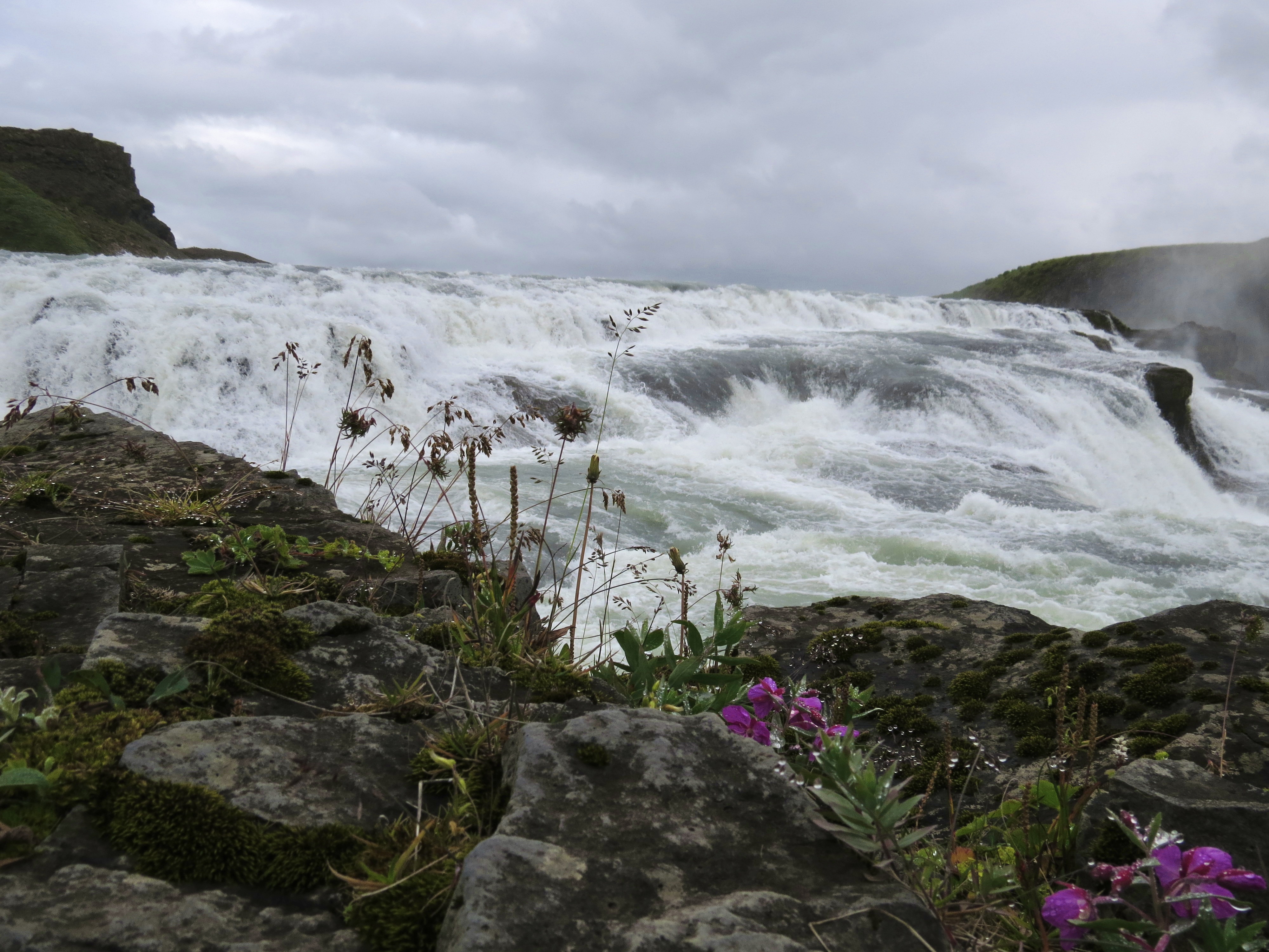
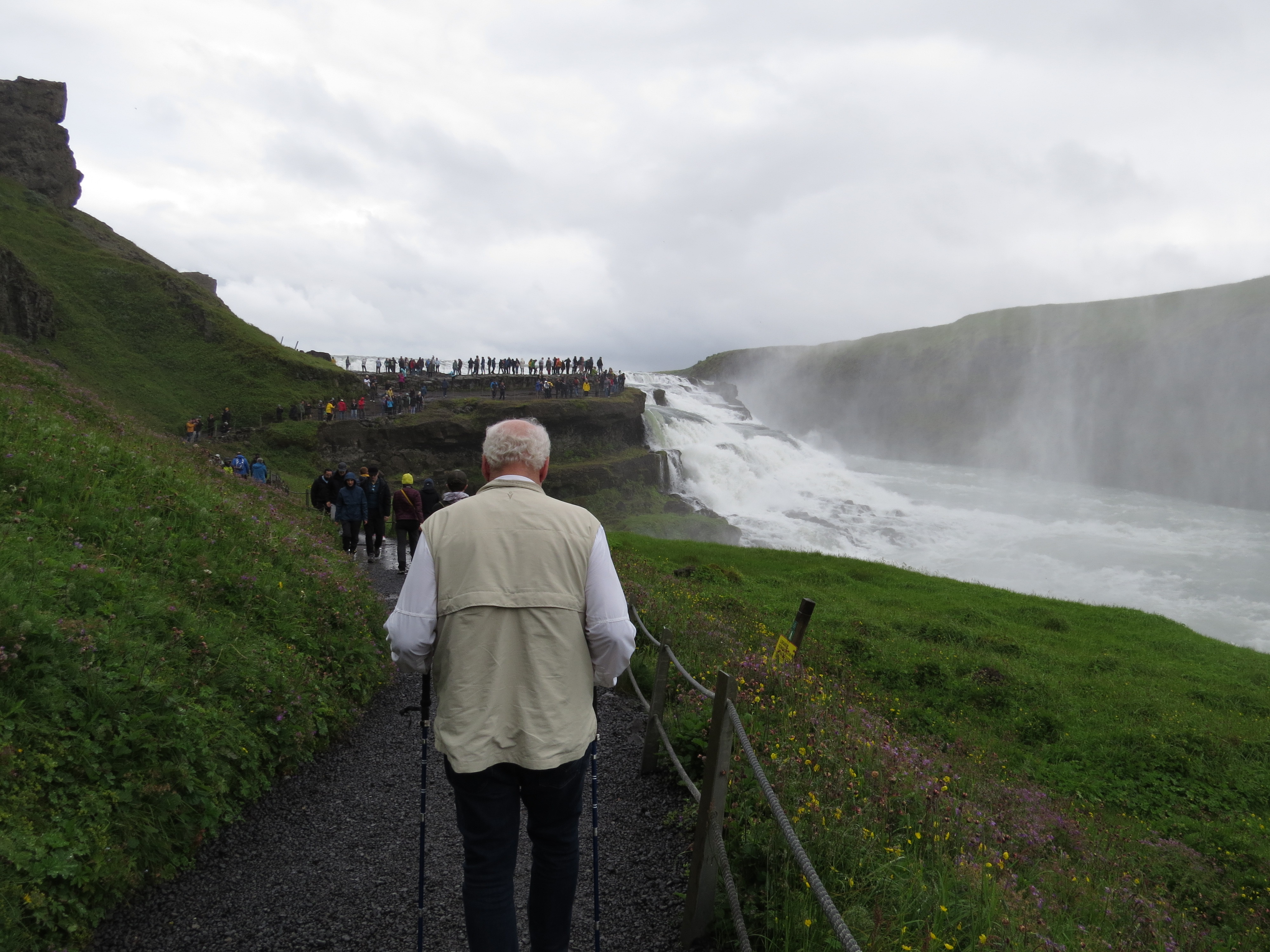
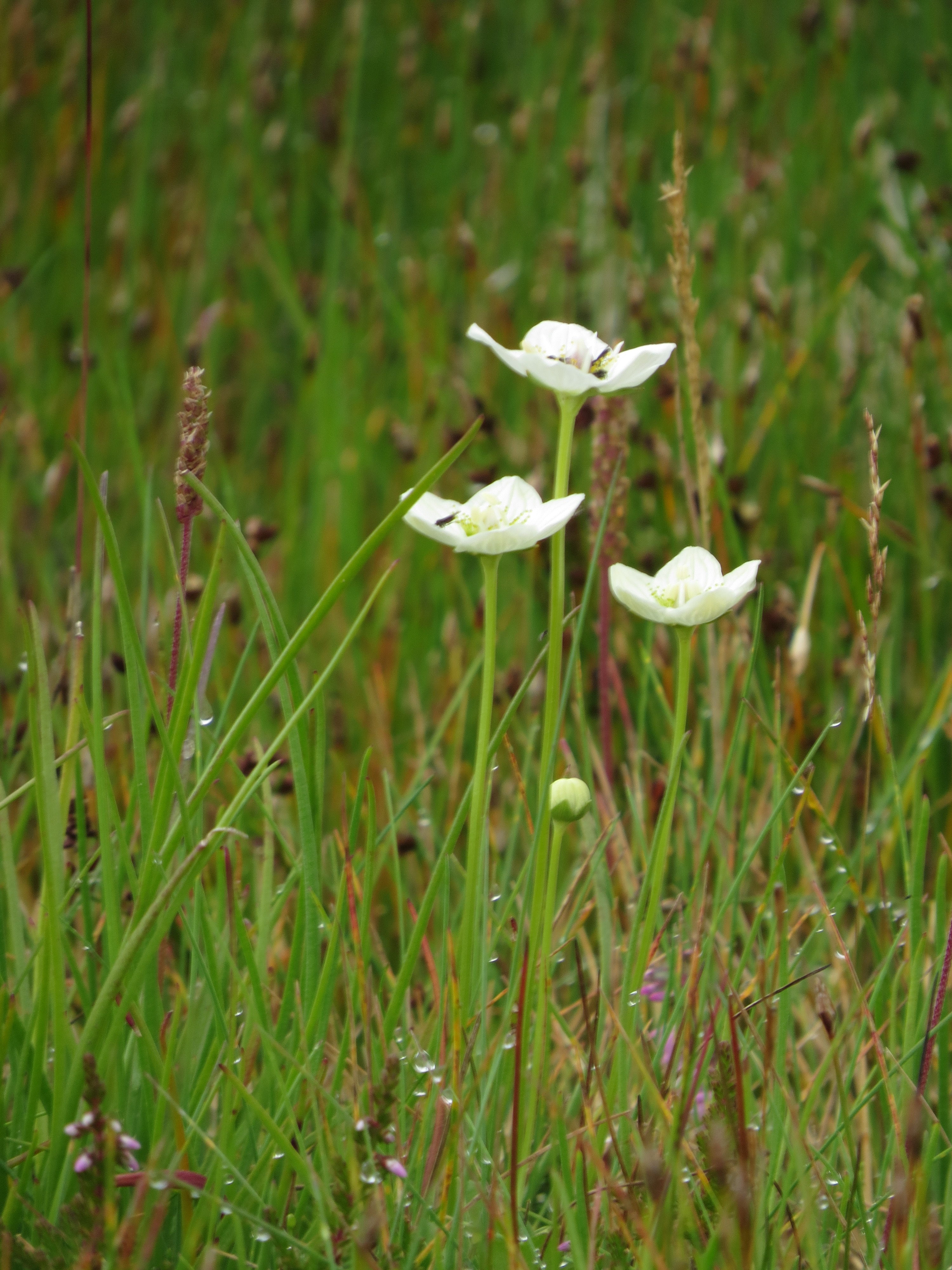
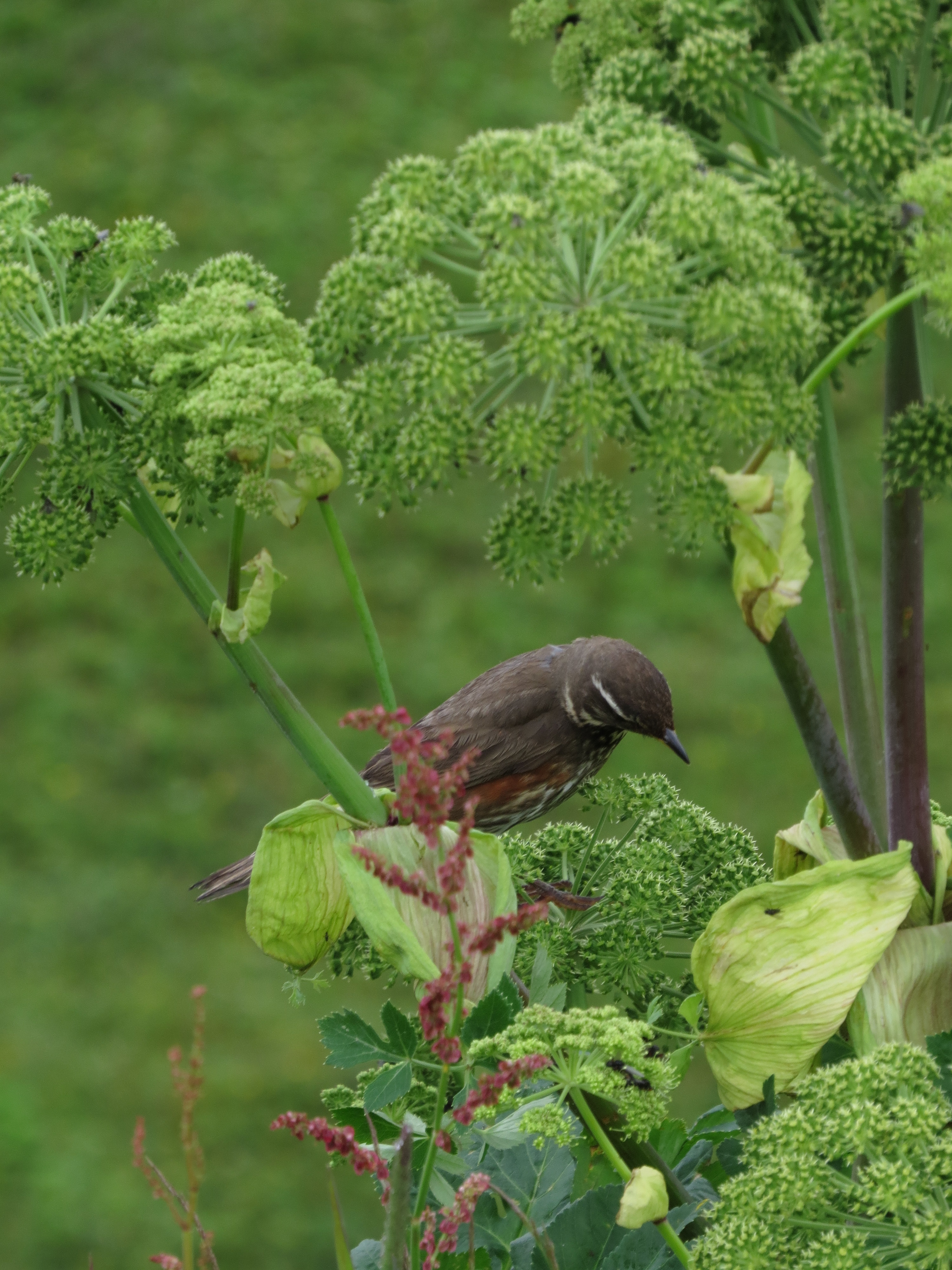
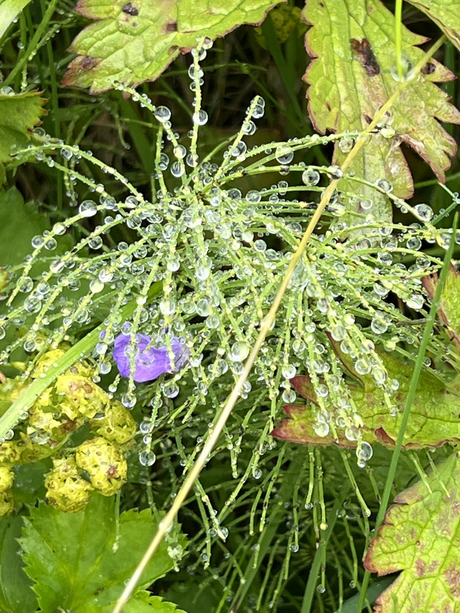
On our hike up to the look out, the mist covers everything including us and the plants and yet another dandelion. The water drops make for stunning photos. The bird Larkin captured was a bonus!

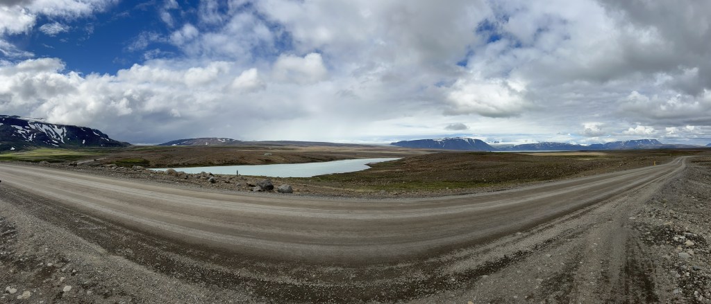
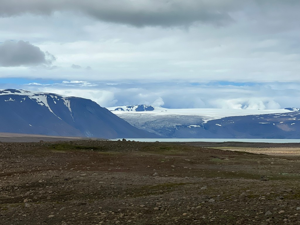
Langfjokull is one of 13 glaciers on Iceland and it is the second largest next to Vatnjokull. Eruptions from under glaciers can cause major flooding called a jokulhlaup. There are many smaller outlet glaciers that are associated with the major glaciers.
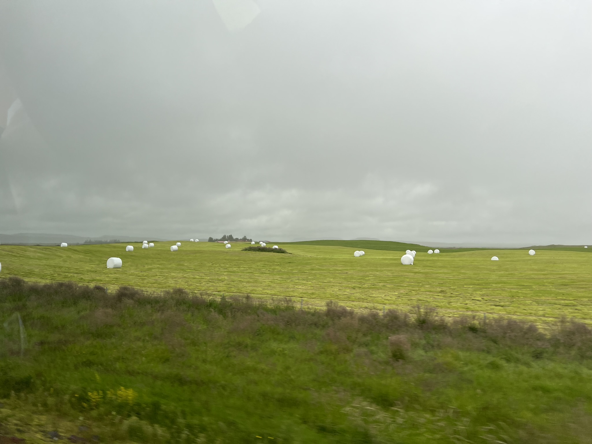
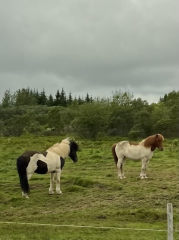
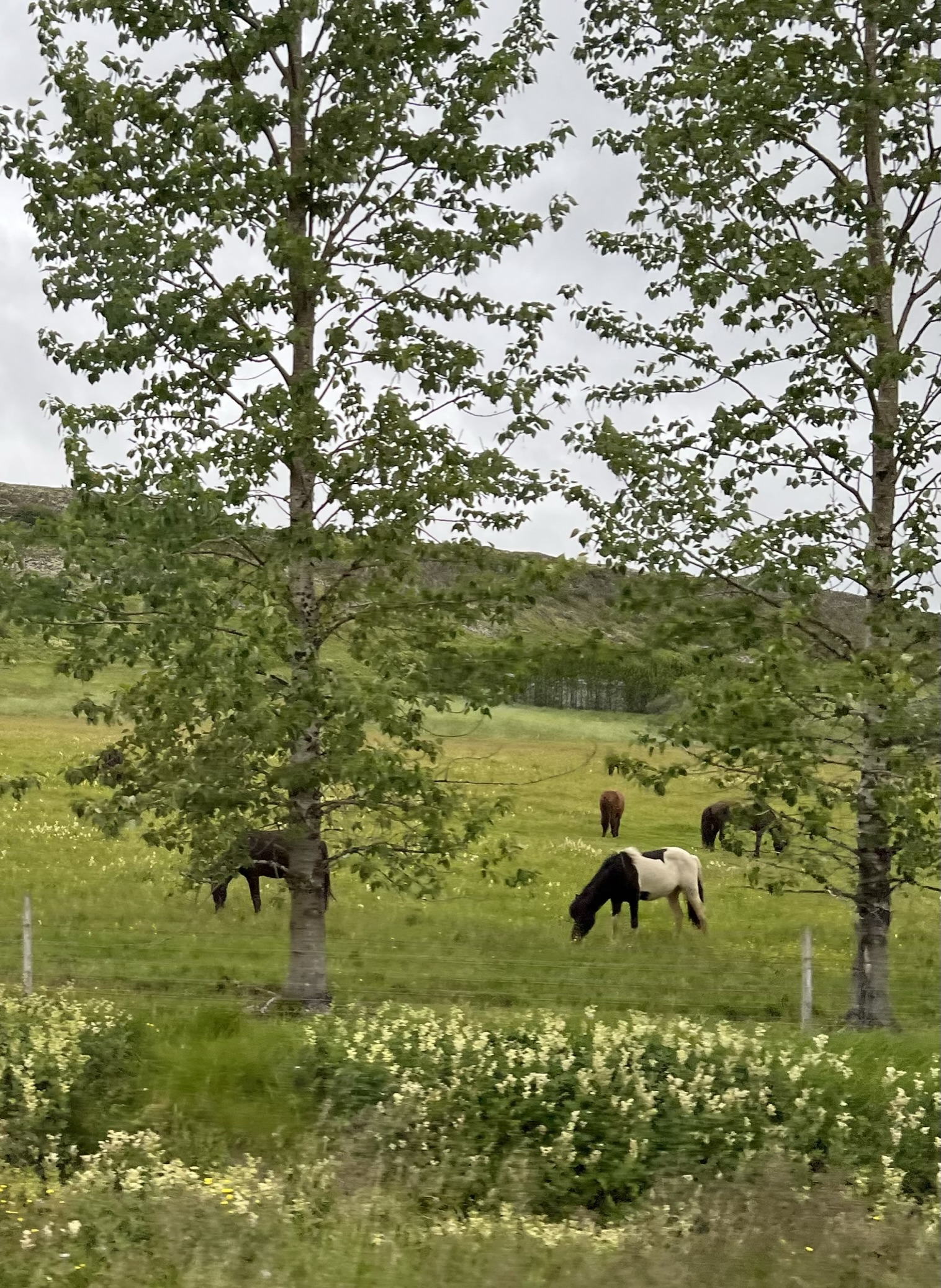
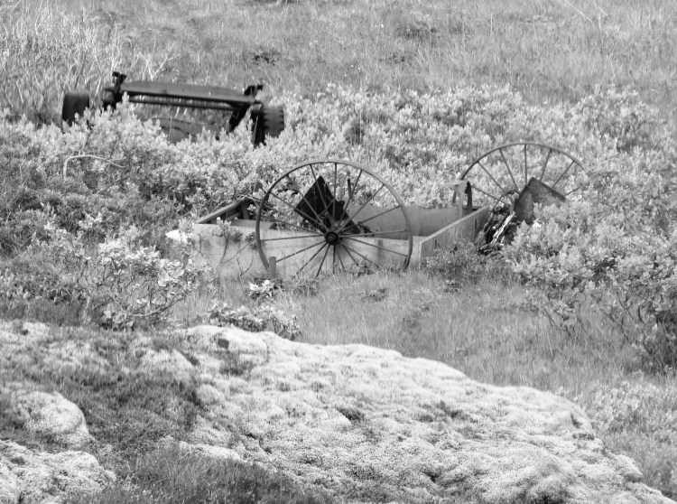
Michael always notices the hay marshmallows in the field. I noticed the beautiful Icelandic horses. These horses can be traced back to the 9th and 10th century and they are unique to Iceland. The Althing Parliament in 982 AD passed laws prohibiting the importation of horses so this breed has been purebred in Iceland for more than 1,000 years. If a person takes a horse out of the country, say for instance, to a competition, they are not allowed back in the country. They are small – pony sized, long-lived and hardy with few disease. They sport a double coat for extra insulation in the winter. They are a five gaited breed known for its surefootedness and their ability to cross difficult terrain. Horses were venerated in Norse mythology. Much of the breed was wiped out in the 1780’s in the aftermath of a volcanic eruption at Laki.
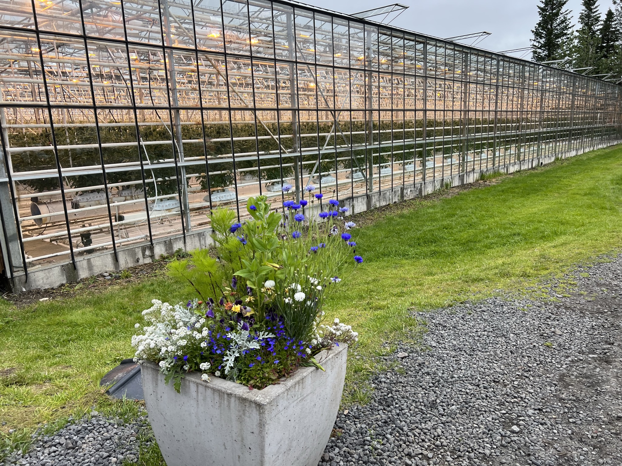
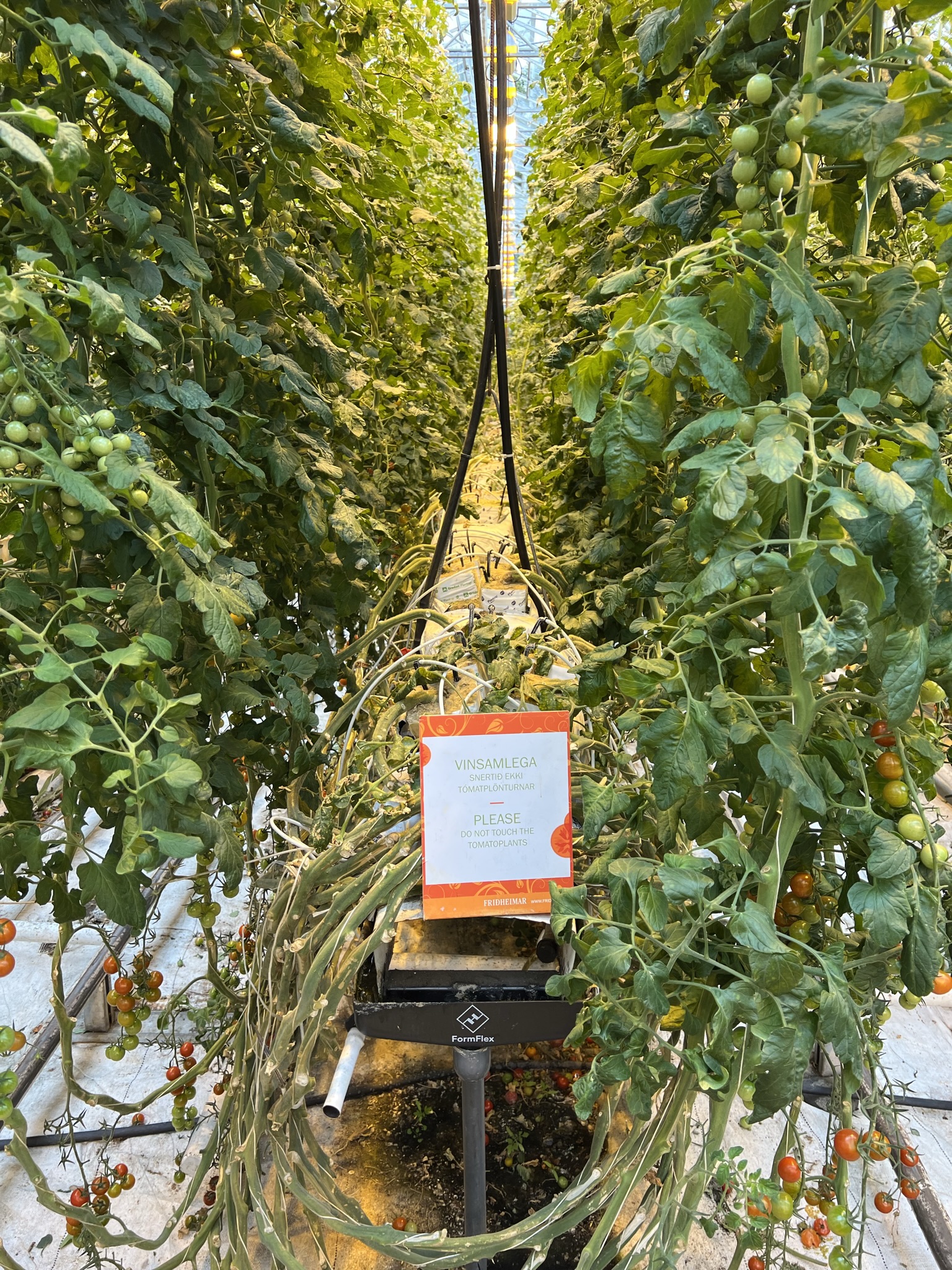
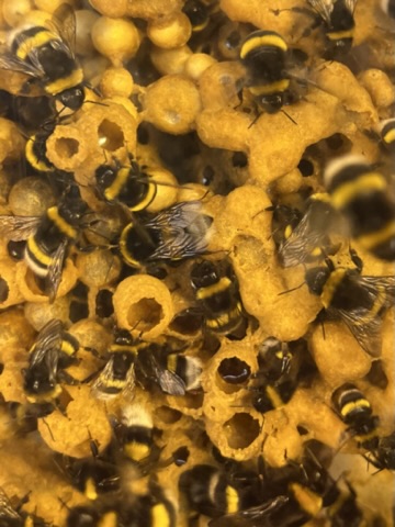
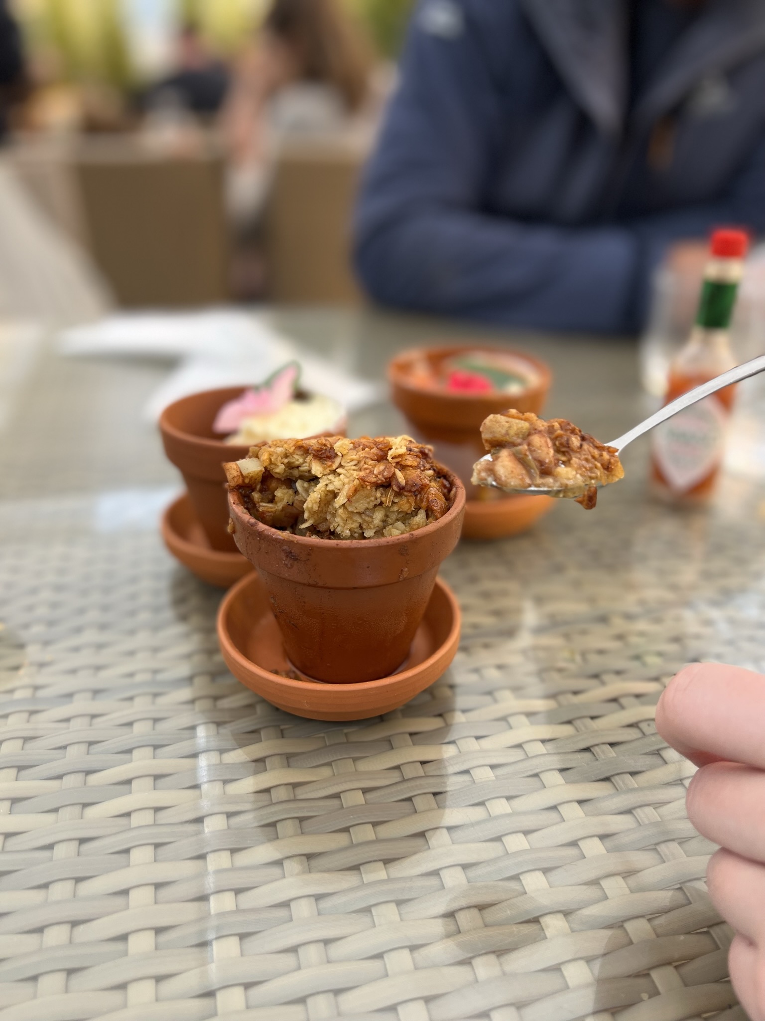
Fridheimar Restaurant for our late lunch was an incredible food experience. Four different varieties of tomato are cultivated in the greenhouse where lunch is served among the plants. We wandered through the rows of tomatoes and could see their bee hives. Their tomato soup is served buffet style with sour cream, a delicious home baked bread, a cucumber salsa along with butter and fresh herbs. A bowl of soup looks like a bowl of soup but our dessert was served in little clay growing pots. We had the trio of desserts…green tomato and apple pie a la fridheimar and whipped cream, home made tomato ice cream a la Fridheimar and a cheesecake with a green tomato jam with cinnamon and lime. Yummy.

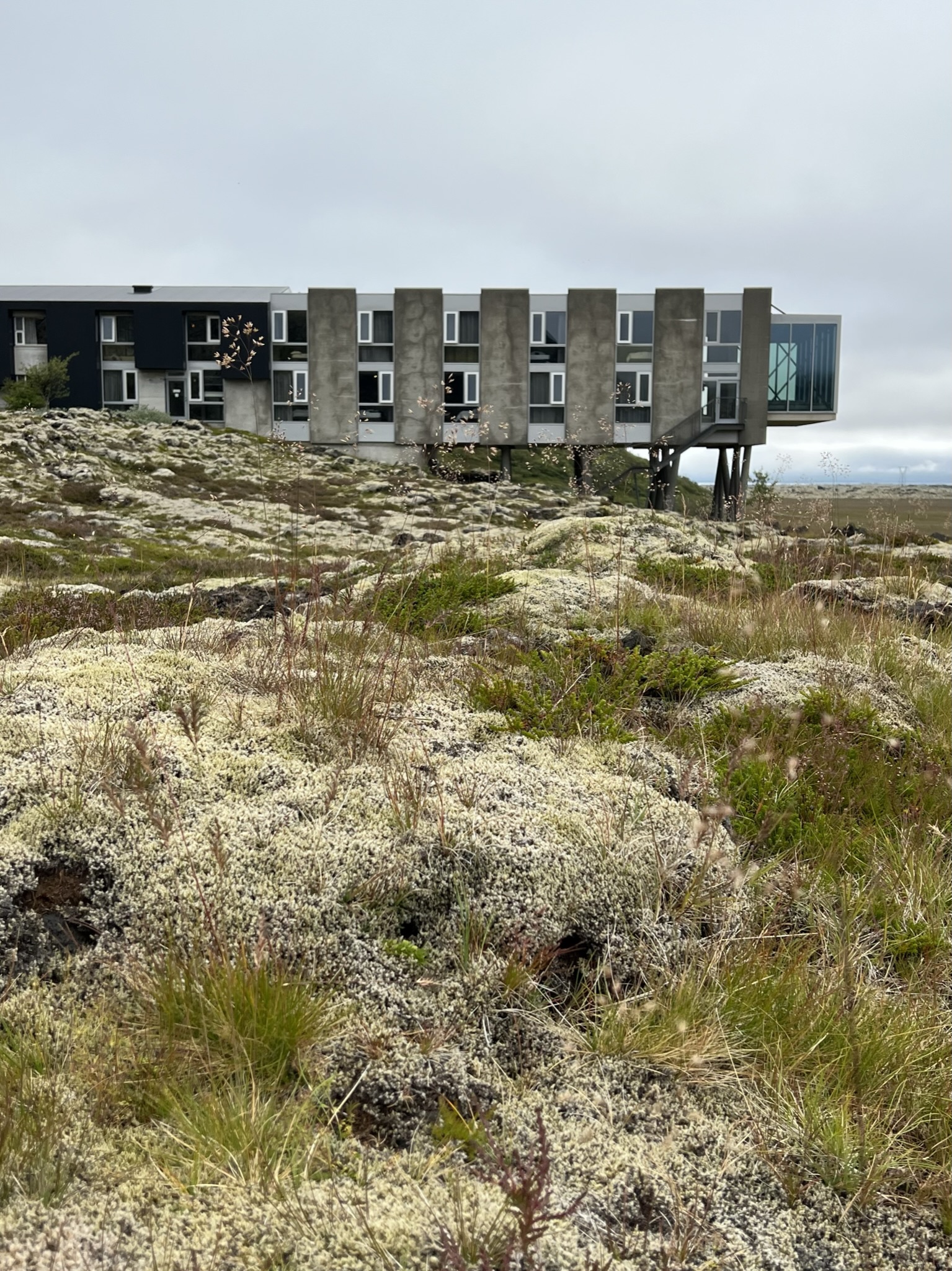
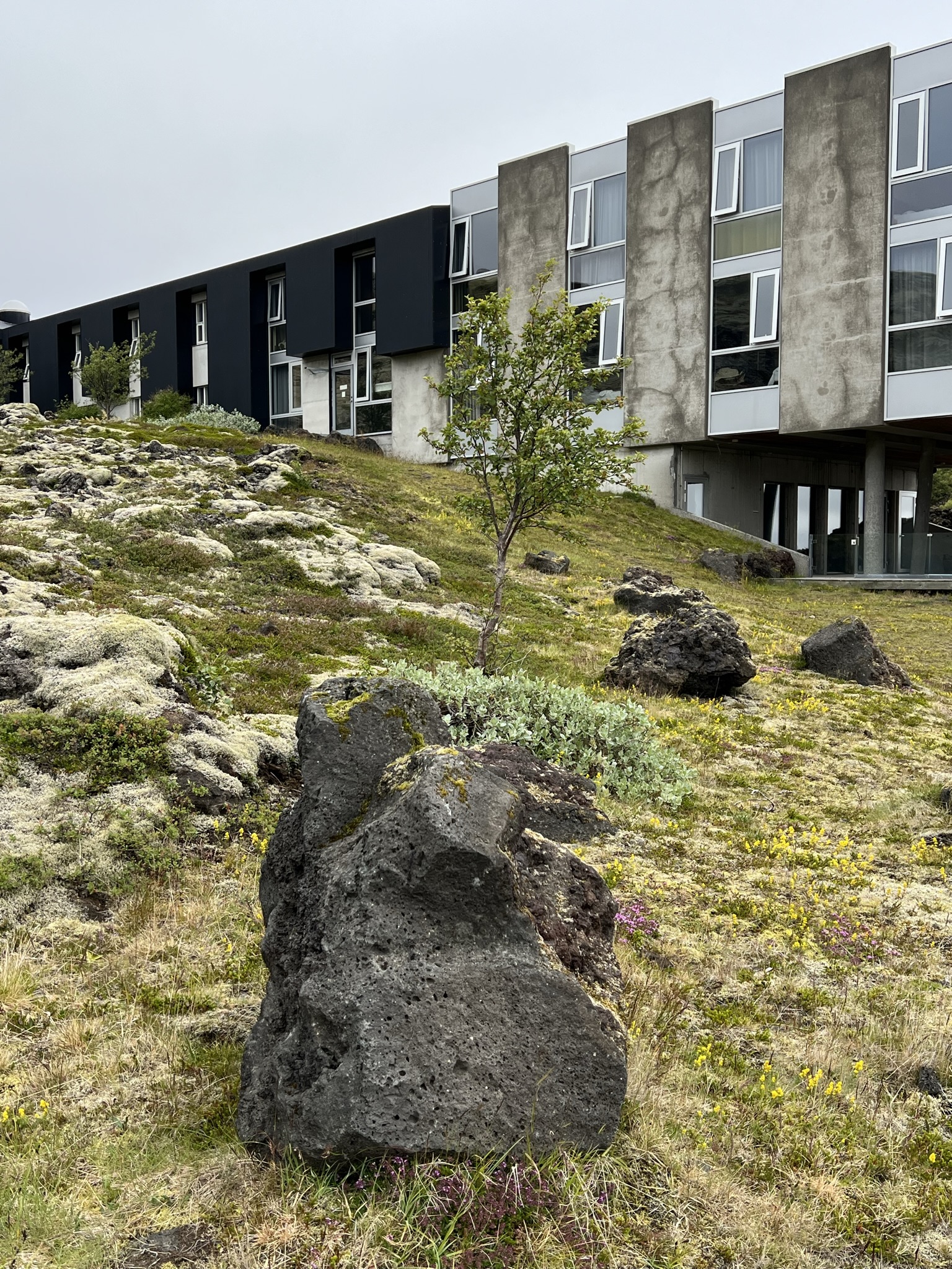
We drove from the “tomato restaurant” to our hotel, the Ion Adventure for our first of two nights. The hotel is up a little valley with the Nesjavalavirkjun power plant that generates electricity and water nearby. This drive took us back toward Pingvellir, its lake and past many different type of landscapes. Valdi showed us a home his family owned and showed us a photo of what it used to look like. That is when you start noticing homes surrounded by trees. The last 50 years have seen many homesteads go from bare to surrounded by trees for protection from the elements. Locals used to call something a forest if they saw four trees. The more or less native trees included birch, poplar, pine and rowan. When Norwegians first arrived there were 20-40% of the country covered in trees. Unfortunately the environment was not used to such a sudden influx of resource hungry organisms. Humans and livestock are not solely to blame as many volcanic disturbances caused deforestation. Importation of resources needed to tap geothermal energy today have weaned Iceland off its use of wood as fuel.
New trees that are currently being planted include larch, Sitka spruce, Alaska aspen and lodgepoles. The goal is 5% forested in the next 50 year. Regardless of the positive changes, the climate is still openly hostile for much of the year making for slow progress. The joke used to be due to the diminutive size of many of the trees, if you got lost in the woods what do you do? Stand Up!
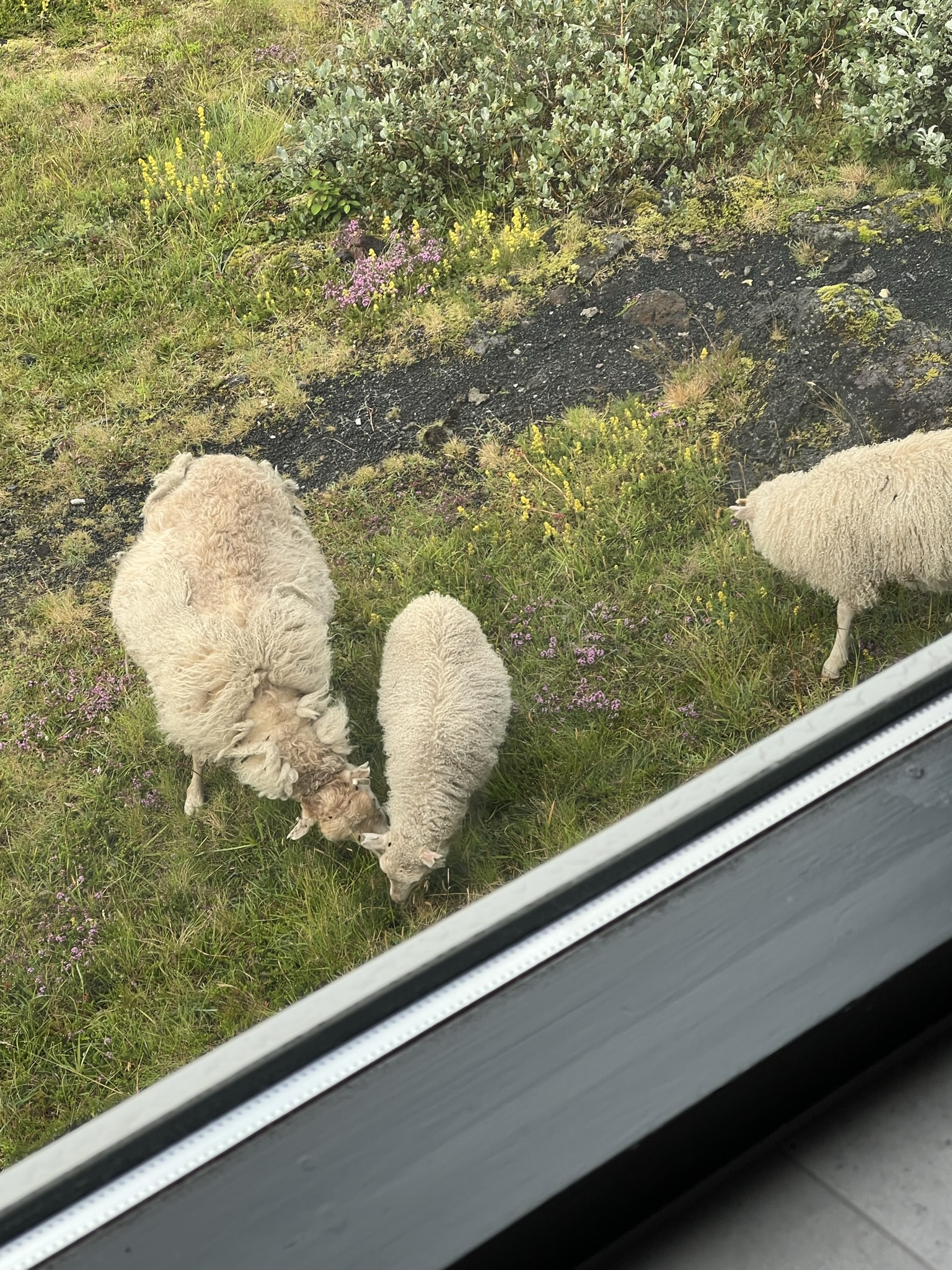
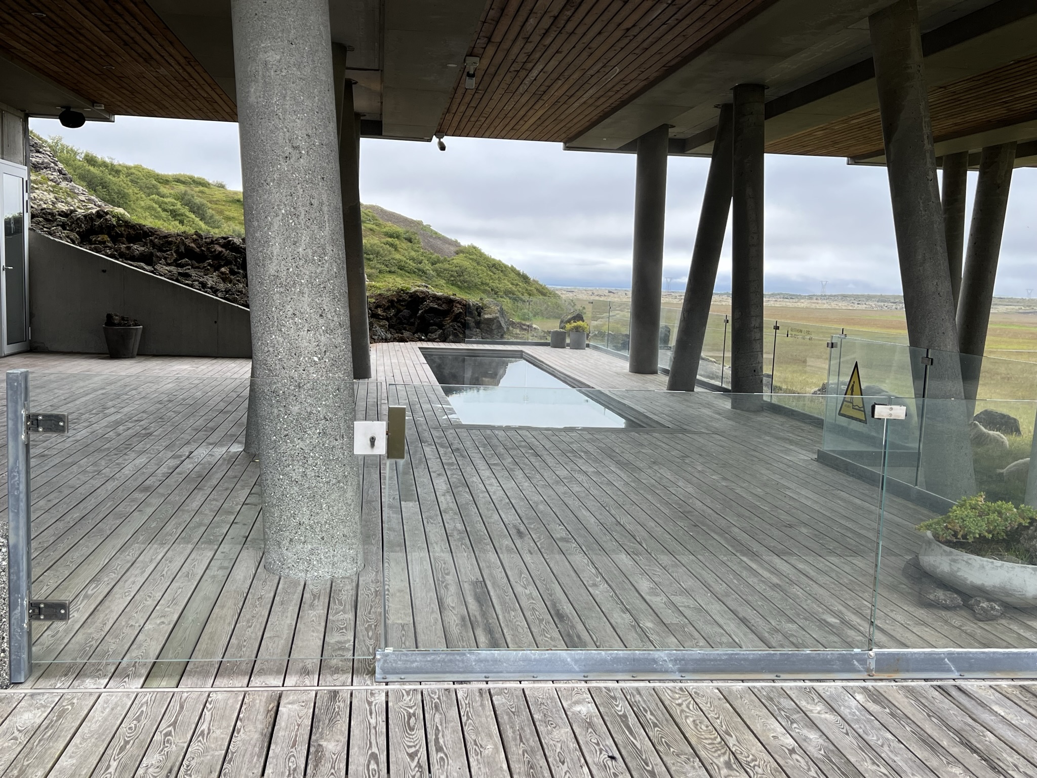
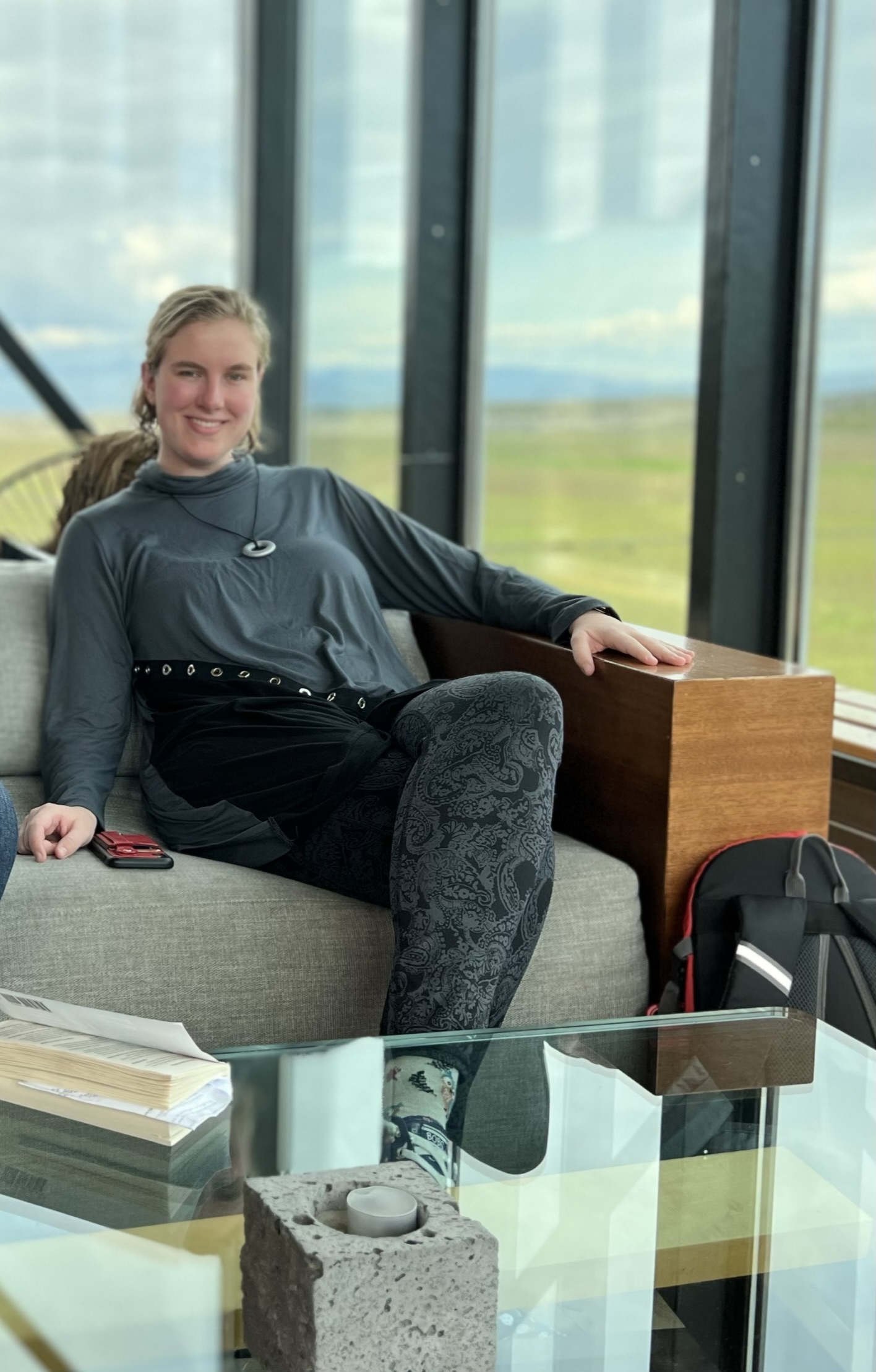
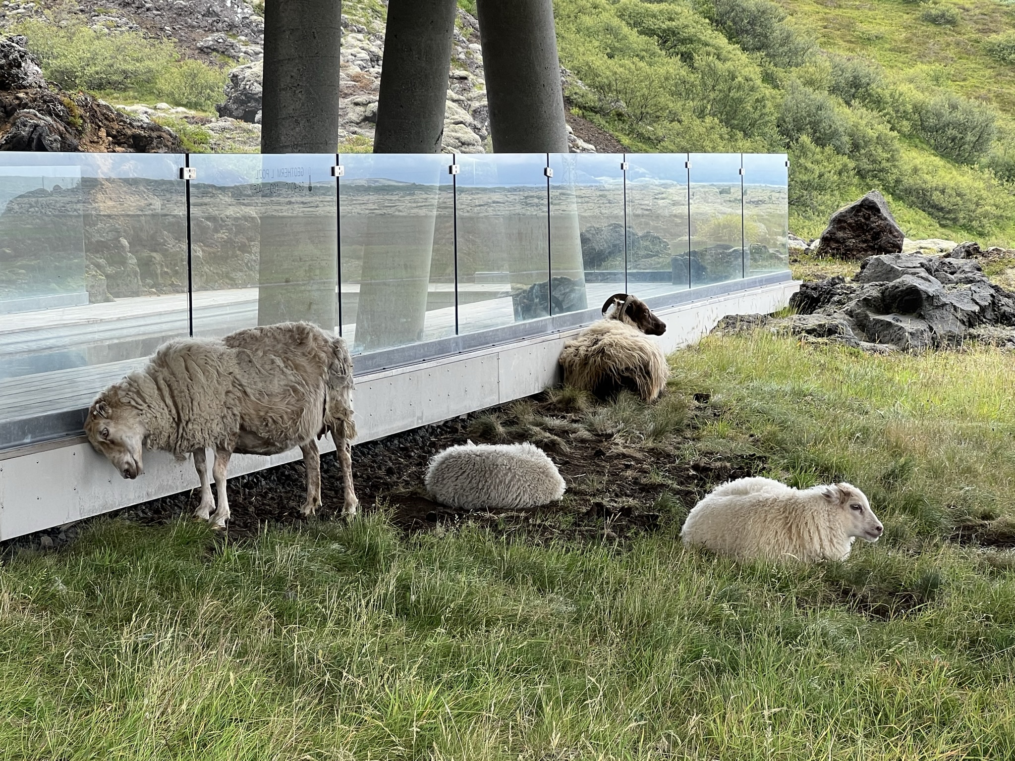
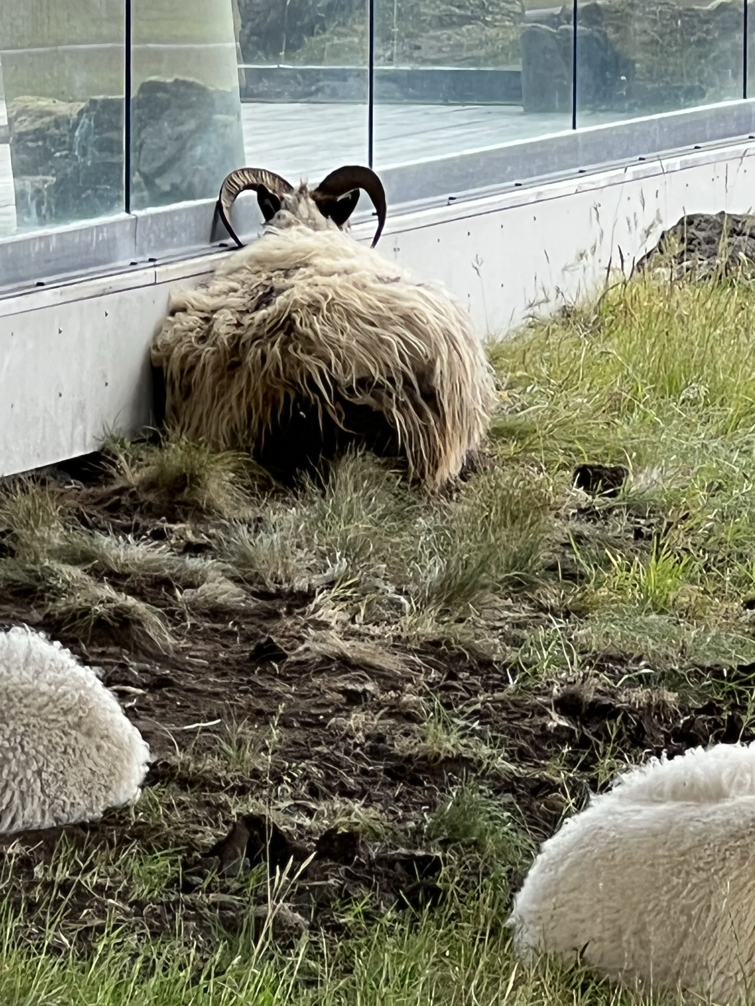
We arrived at our Ion Adventure hotel, checked in and had time to enjoy the hot pool and sauna and of course the bar with a view when we were sufficiently relaxed. Dinner was late after a very late lunch and we opened our window to cool the room down. …and of course the sun didn’t really set. The sheep wander everywhere over the Island. There are no predators and the owners just kind of know where their flocks are so at certain times of the year they are corralled and checked on. Much like the horses, the Icelandic sheep have been on the island for 1,000 years. They are highly resistant to cold and are left unshorn for the winter. Many ewes carry the Poka gene which means they can give birth to large litters. There are a little over 1 sheep per person on the island and they are used for food, milk and wool.
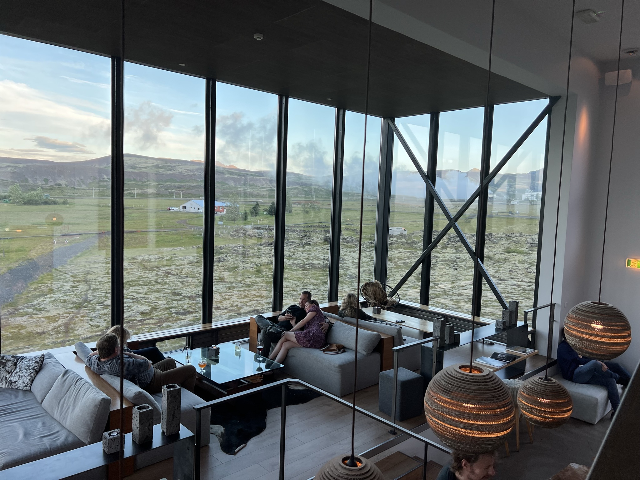
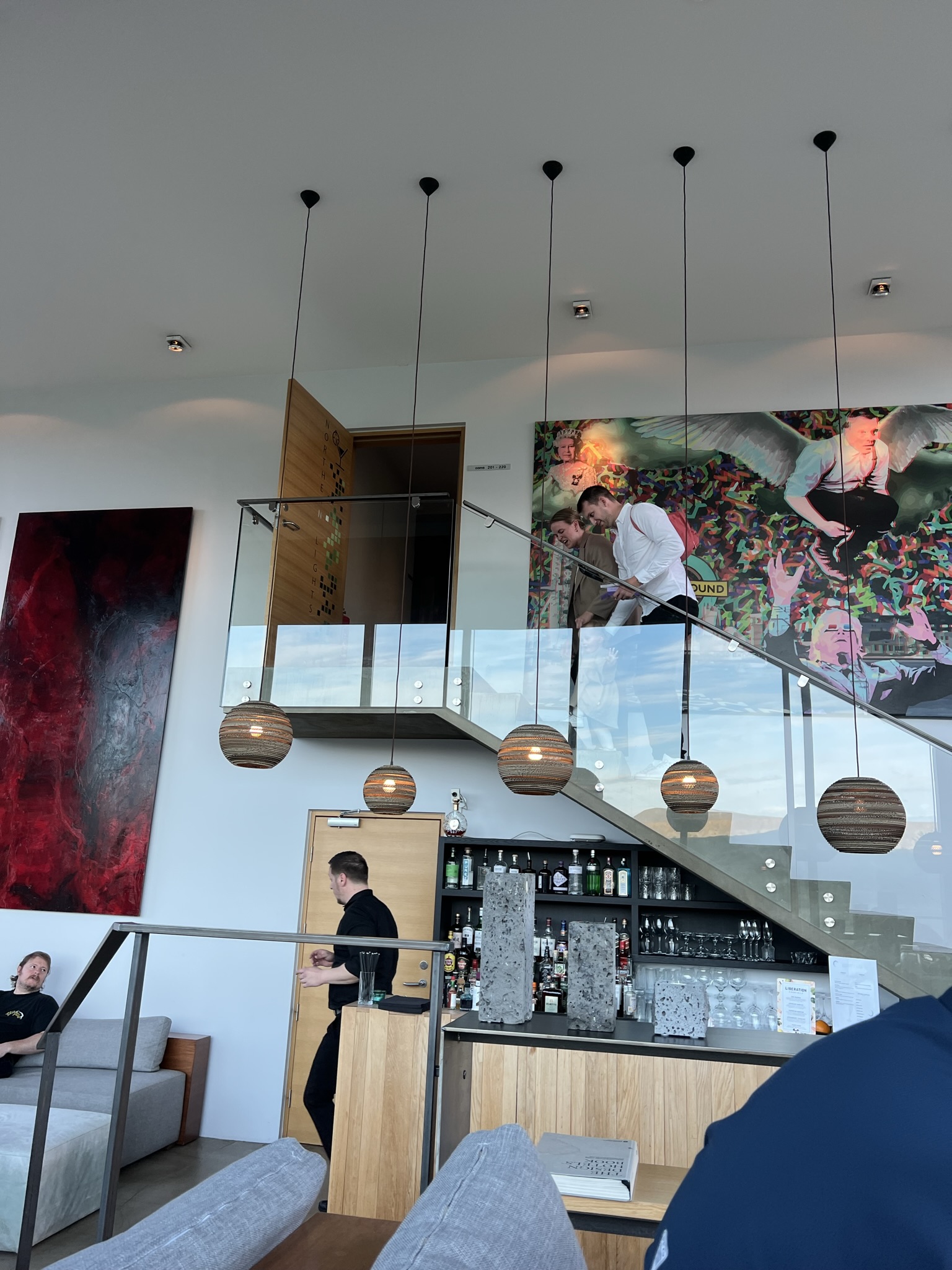
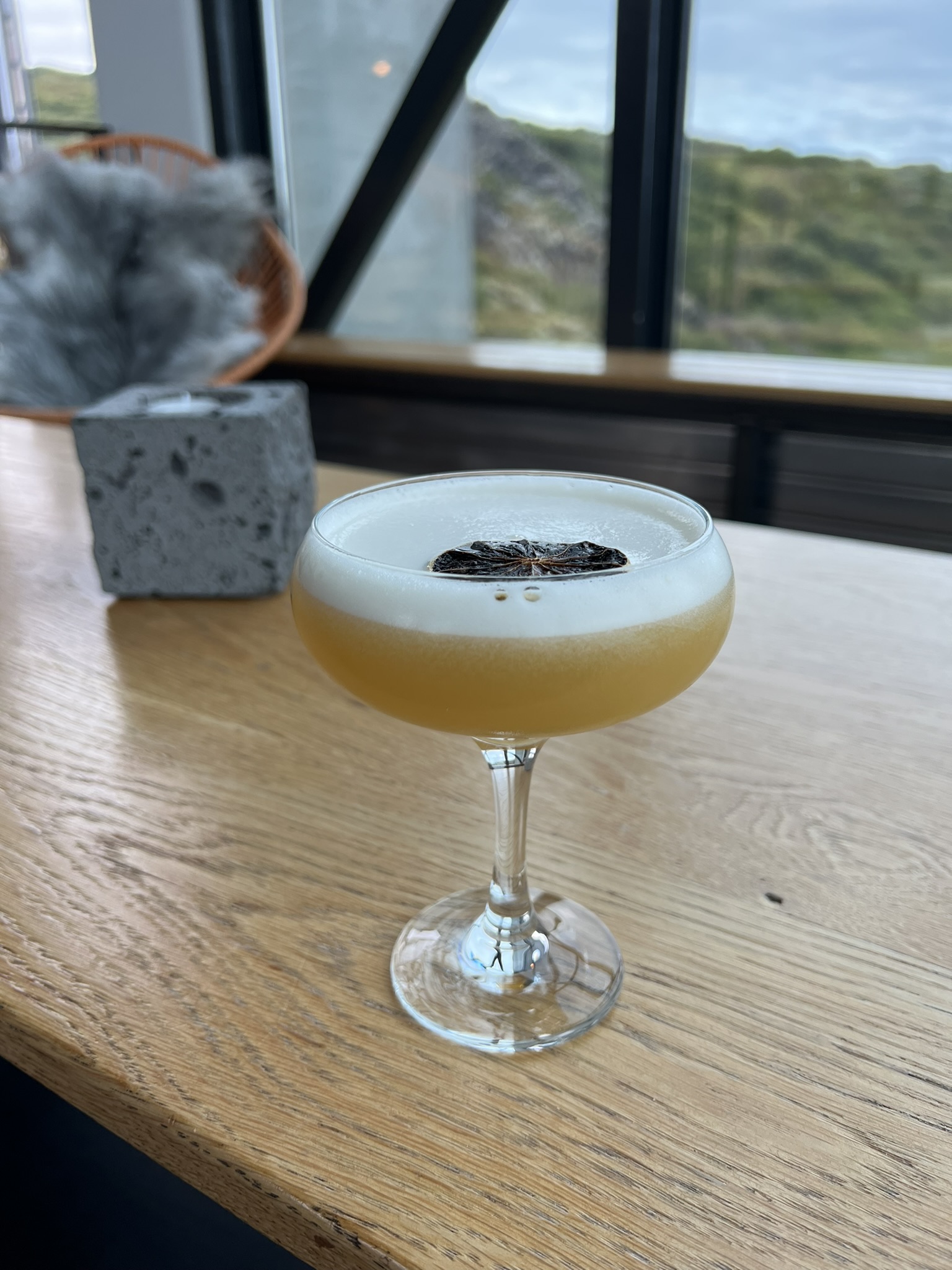
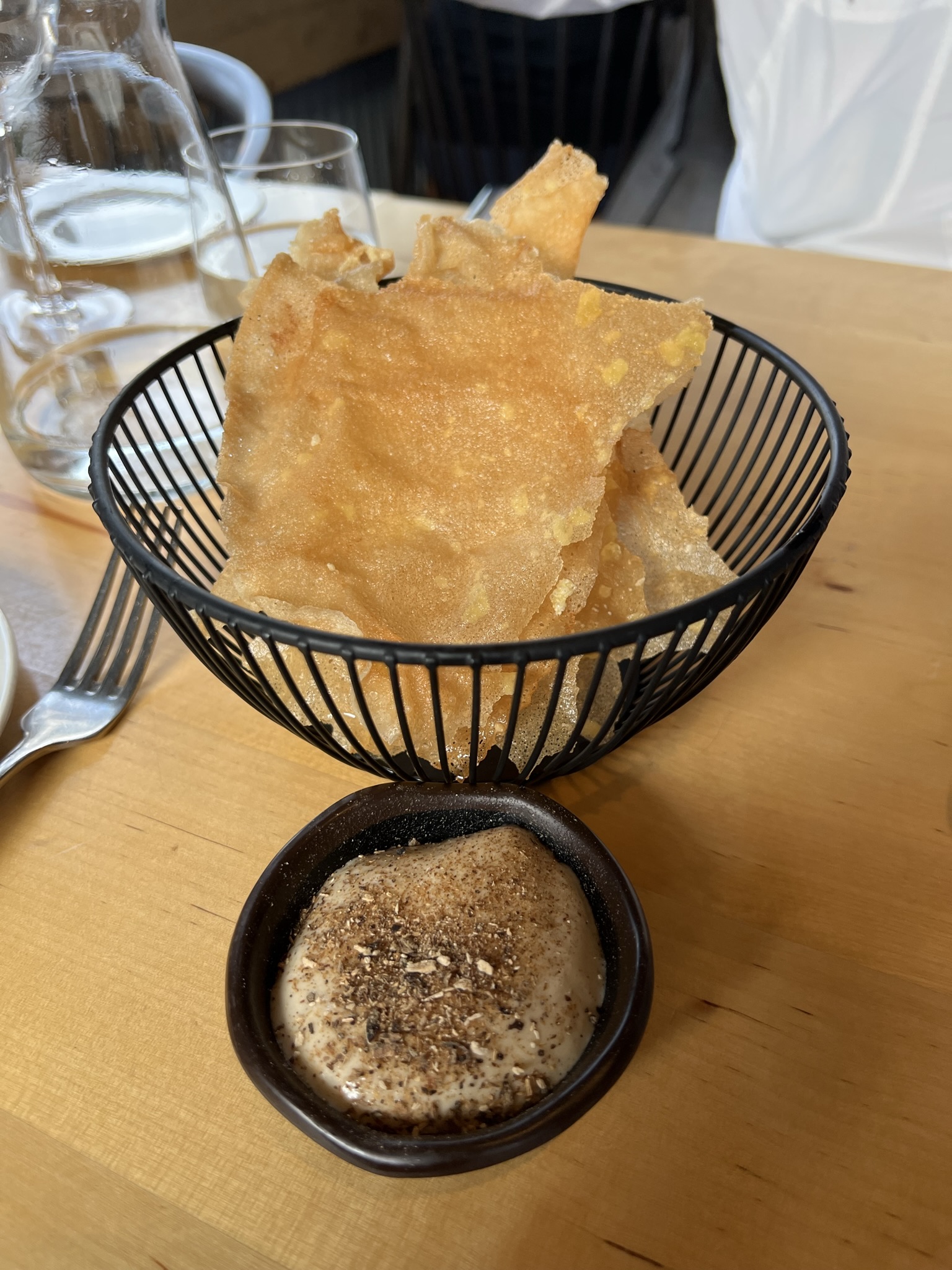
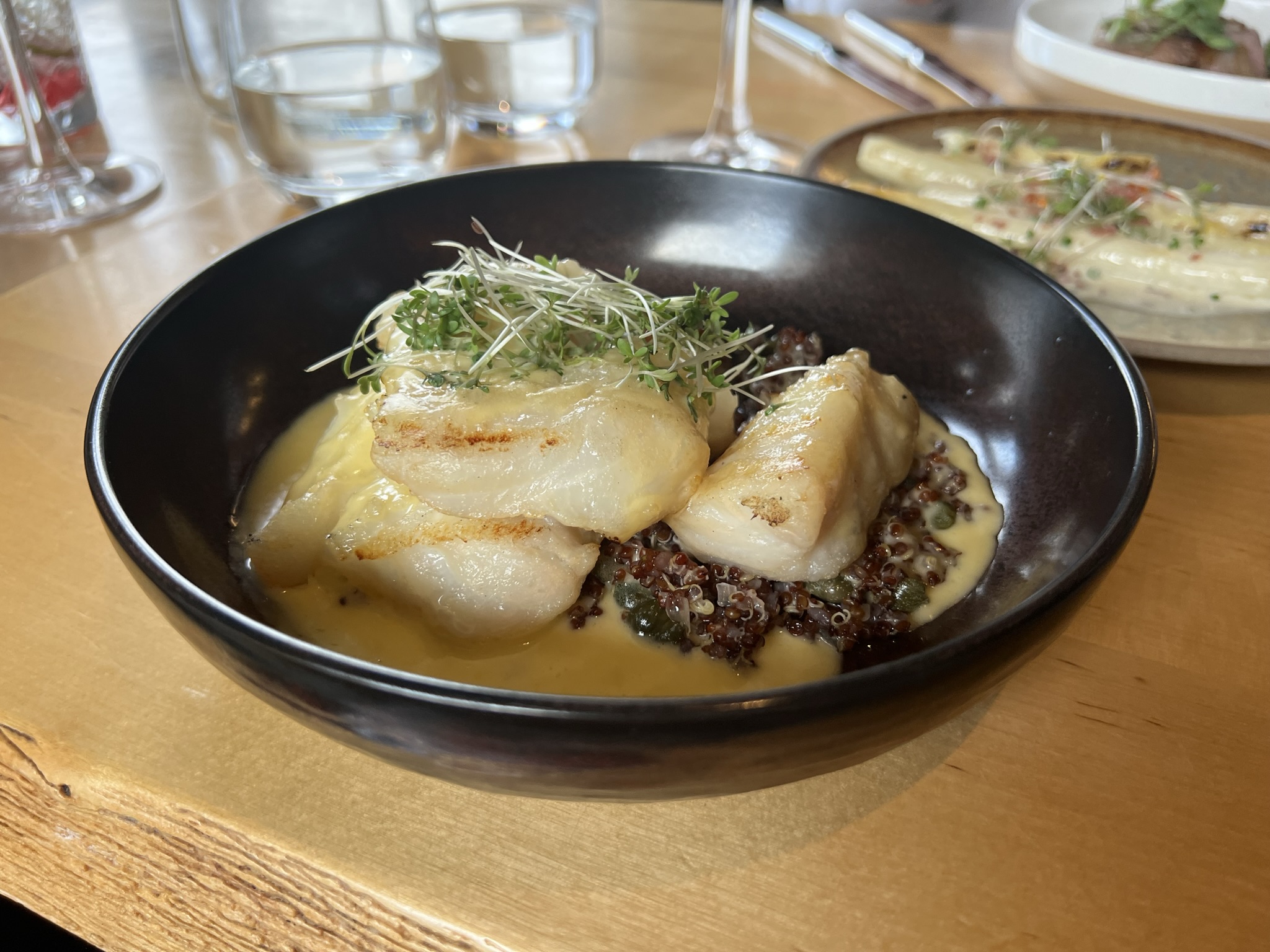
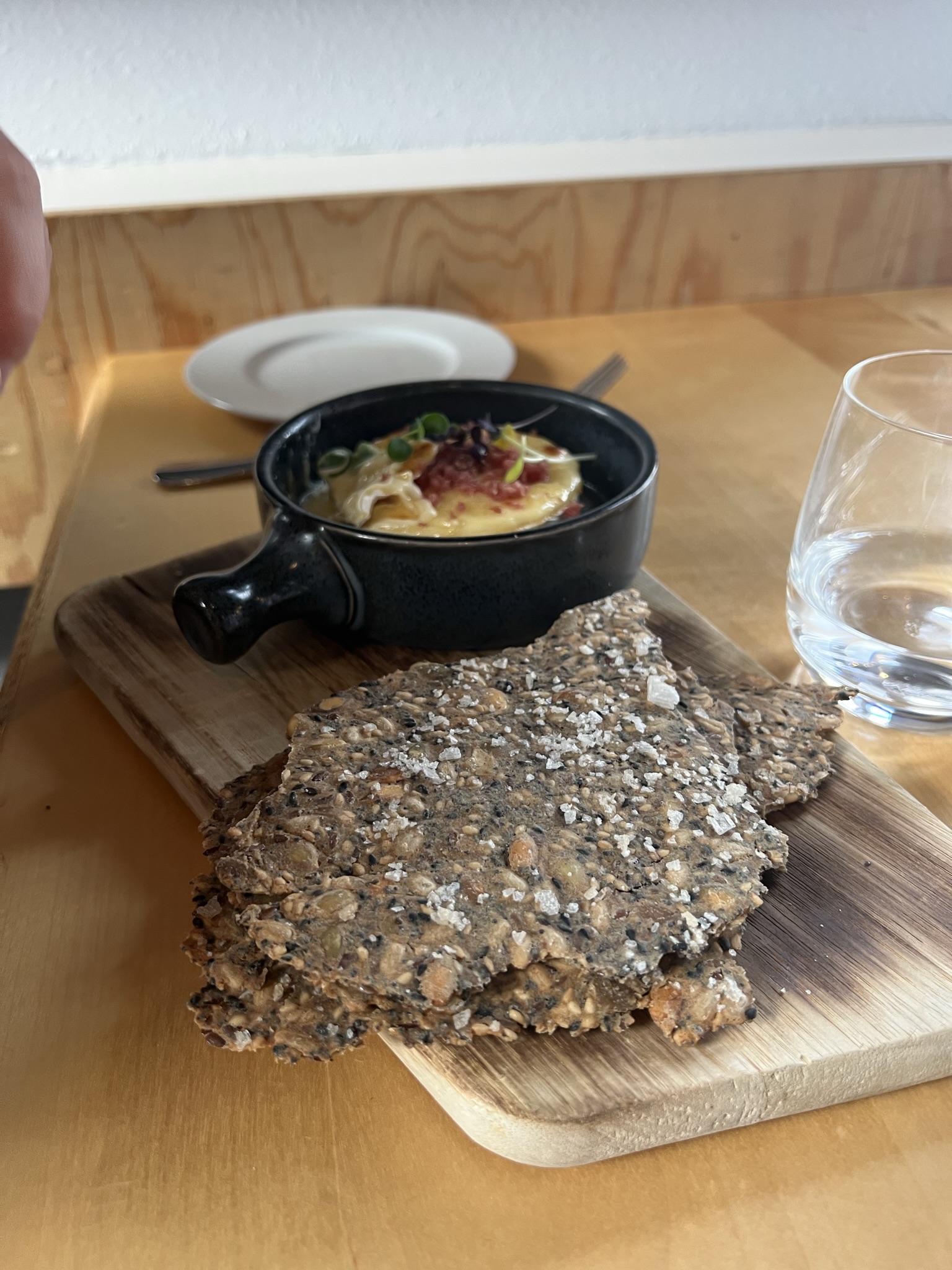
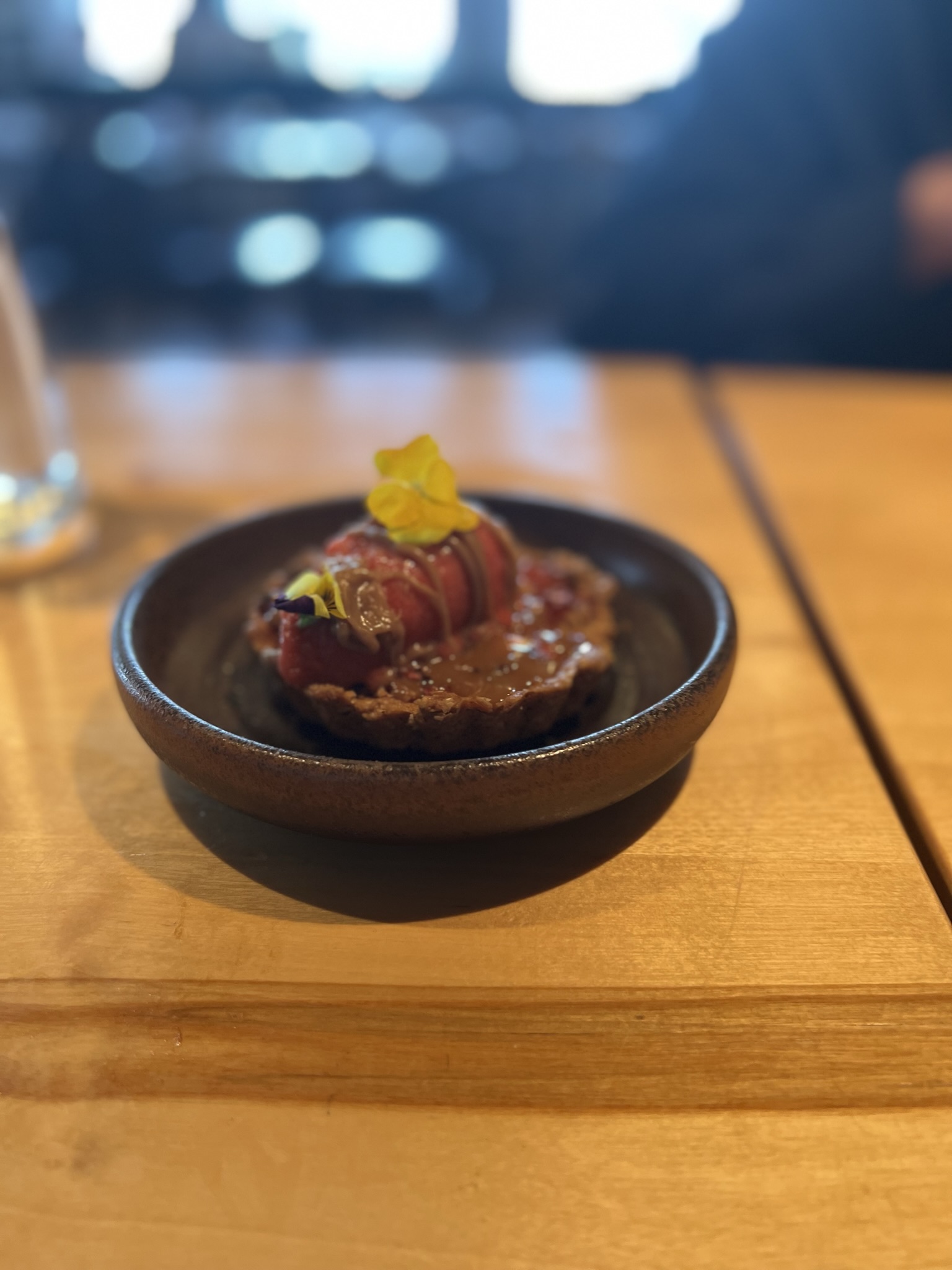
Silfra Restaurant named after the Silfra rift, a freshwater fissure between the continents near our hotel where you can both scuba dive and snorkel. Visibility exceeds 300′ making it some of the clearest water in the world. There are places where you can actually touch both continents at the same time. The restaurant’s cuisine is New Nordic using fresh local ingredients. Once again we couldn’t go wrong with the fresh fish offernings nor the lamb. Deserts are always creative as was the bread. I couldn’t resist another porn star martini at the bar.
Next up more waterfalls, more lava fields and the southern coast…
