
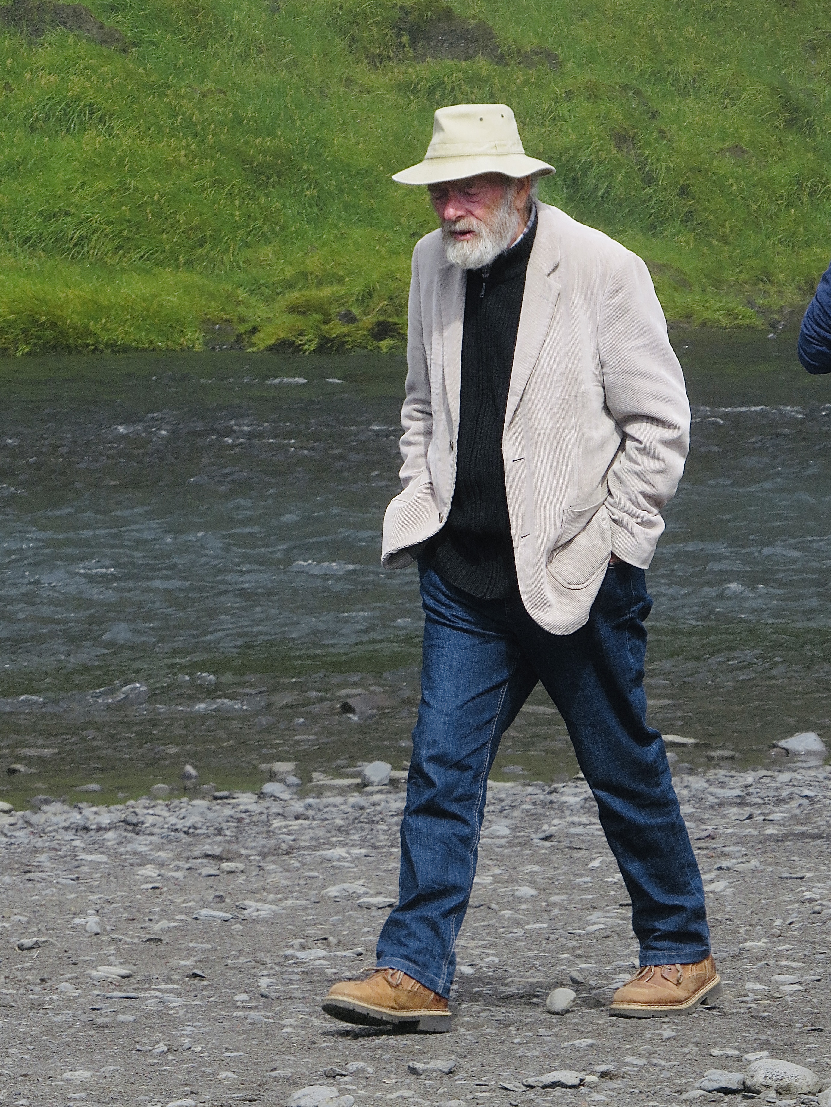
Valdi picked us up at the Ion Adventure and drove us toward the southern coast winding our way through Selfoss, a quaint little town that is upgrading their image. The town has many retirement apartment buildings that looked like fabulous places to live! The town’s growth is due to its lower property prices and its closeness to Reykjavik along with its low rates of unemployment.


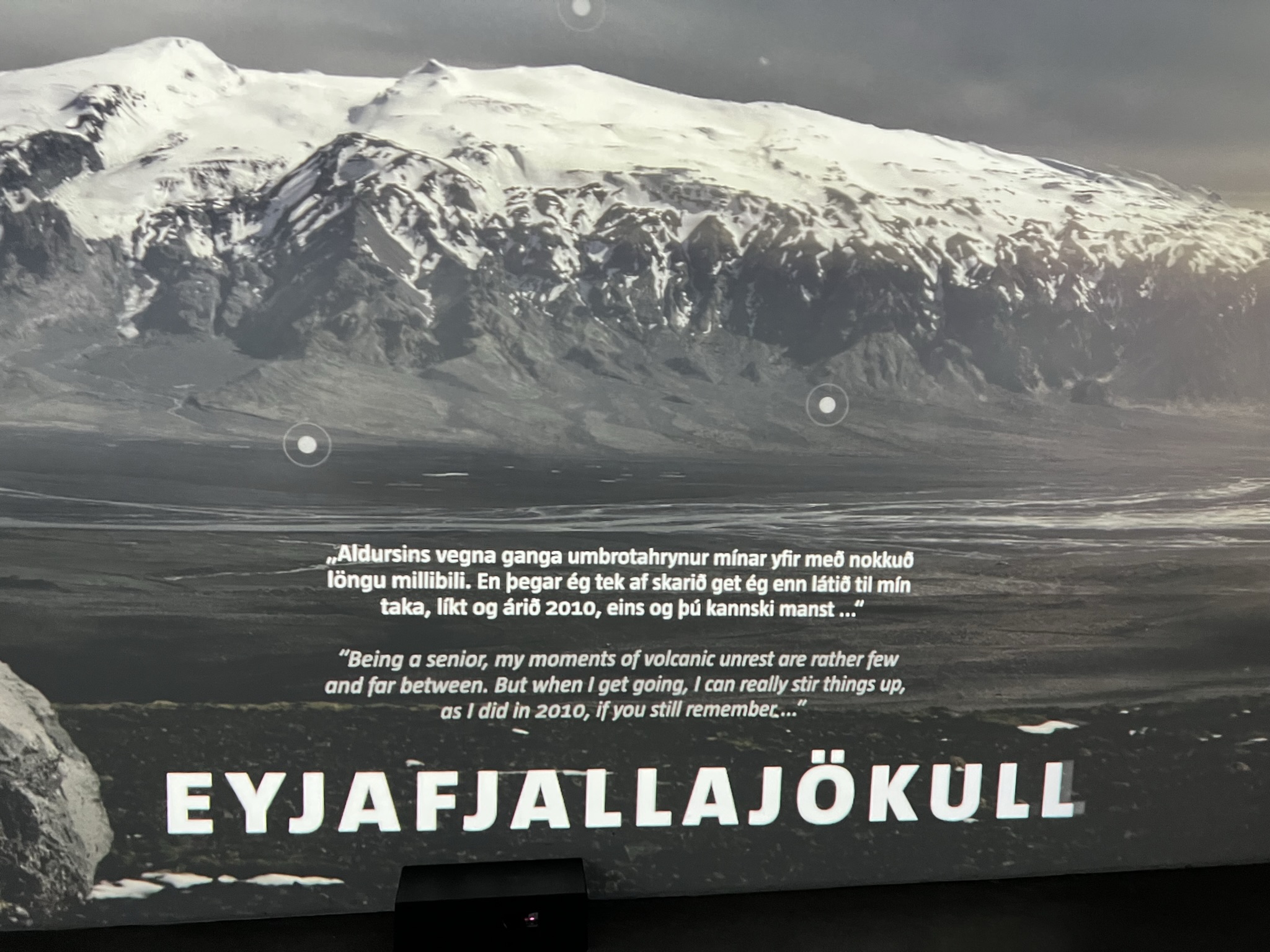
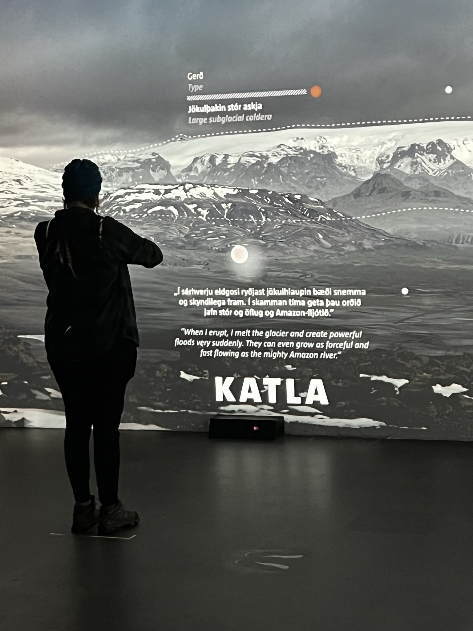
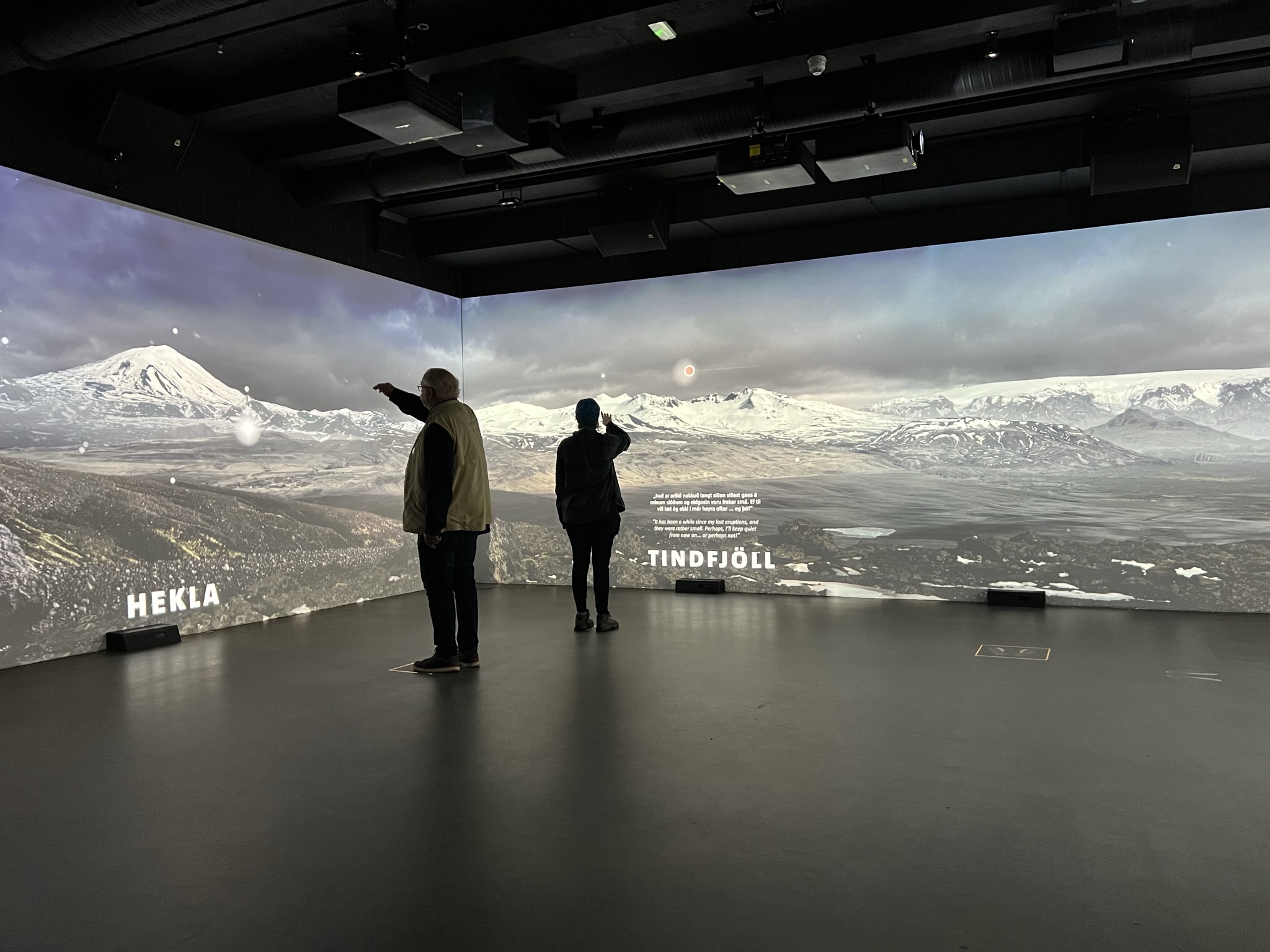
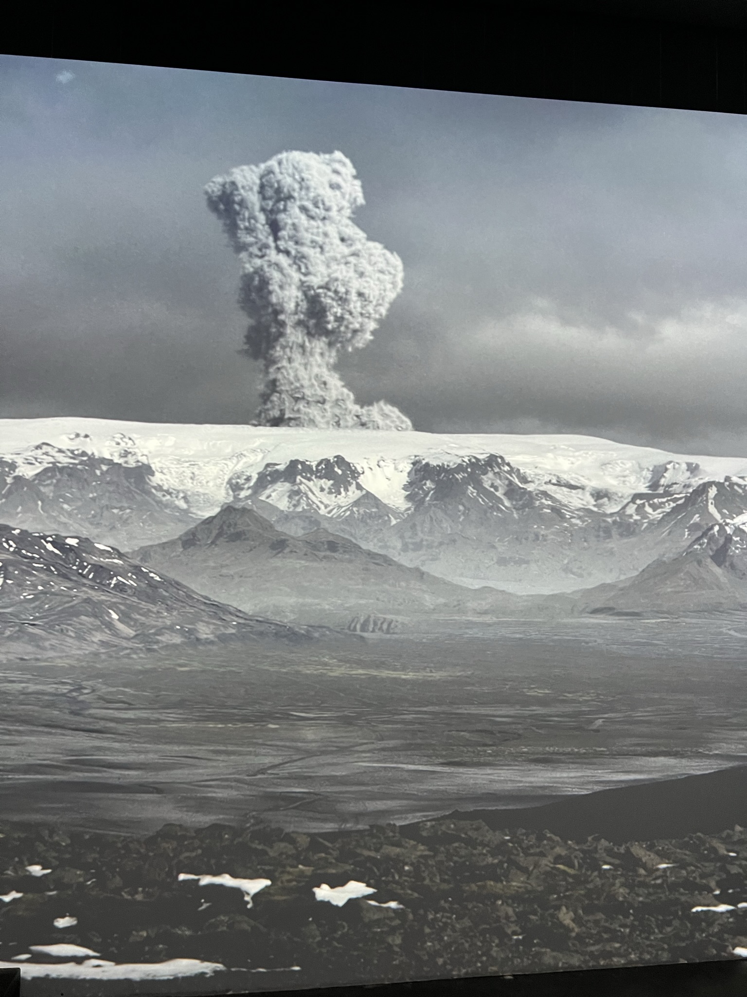
Our first stop, the LAVA Centre with its interactive volcano exhibition. A large map on their wall showed the current earthquakes occurring on the island. After a short video on Iceland and its volcanoes, we walked through exhibits of types of lava and how they are formed. The photos below with Michael and Larkin show how if you stand in certain spots you can point at dots on the wall and it up loads the various volcanoes and their history. We were all fascinated with this interactive display. Eyjafjallajokull , a stratovolcano, a large steep sided cone, is often called E 15 which may be due to how hard it is to pronounce. Because of the melting glacier water entering the magma chamber it caused the chilling and fragmenting of the lava into tiny particles of silica and ash which exploded into the towering plume that closed European air space in 2010. Eyja – Island, Fjalla – mountain and Jokull – glacier. It is now considered dormant again (it erupts every few centuries) but next to E 15 is Katla which normally follows the eruption of E 15 and that has not happened as of yet. As you can imagine, monitoring earthquakes is critical in Iceland.
Hekla, also a stratovolcano, which Michael is standing in front of, is Iceland’s most active volcano historically. In the Middle ages, the Icelandic Norse called the volcano the “Gateway to Hell.” Due to its frequent large eruptions that have covered much of Iceland with tephra, these layers can be used to date eruptions of Iceland’s other volcanoes. Cumulatively the volcano has produced one of the largest volume of lava of any volcano in the world. The word Hekla is the Icelandic word for a short hooded cloak, which may relate to the frequent cloud cover on the summit. It is located at a rift-transform junction in the area where the south Iceland seismic zone and eastern volcanic zone meet. The tephra produced by its eruptions is high in fluorine which is poisonous to animals. Hence the loss of many farm animals over Iceland’s millennia of history. Hekla is unusually aseismic with activity only starting 30-80 minutes before an eruption. It has experienced 20-30 considerable eruptions over the last millennia. These eruptions are varied and difficult to predict. The longer its is dormant the larger and more catastrophic its opening eruption will be. The most recent eruption was on February 26, 2000.
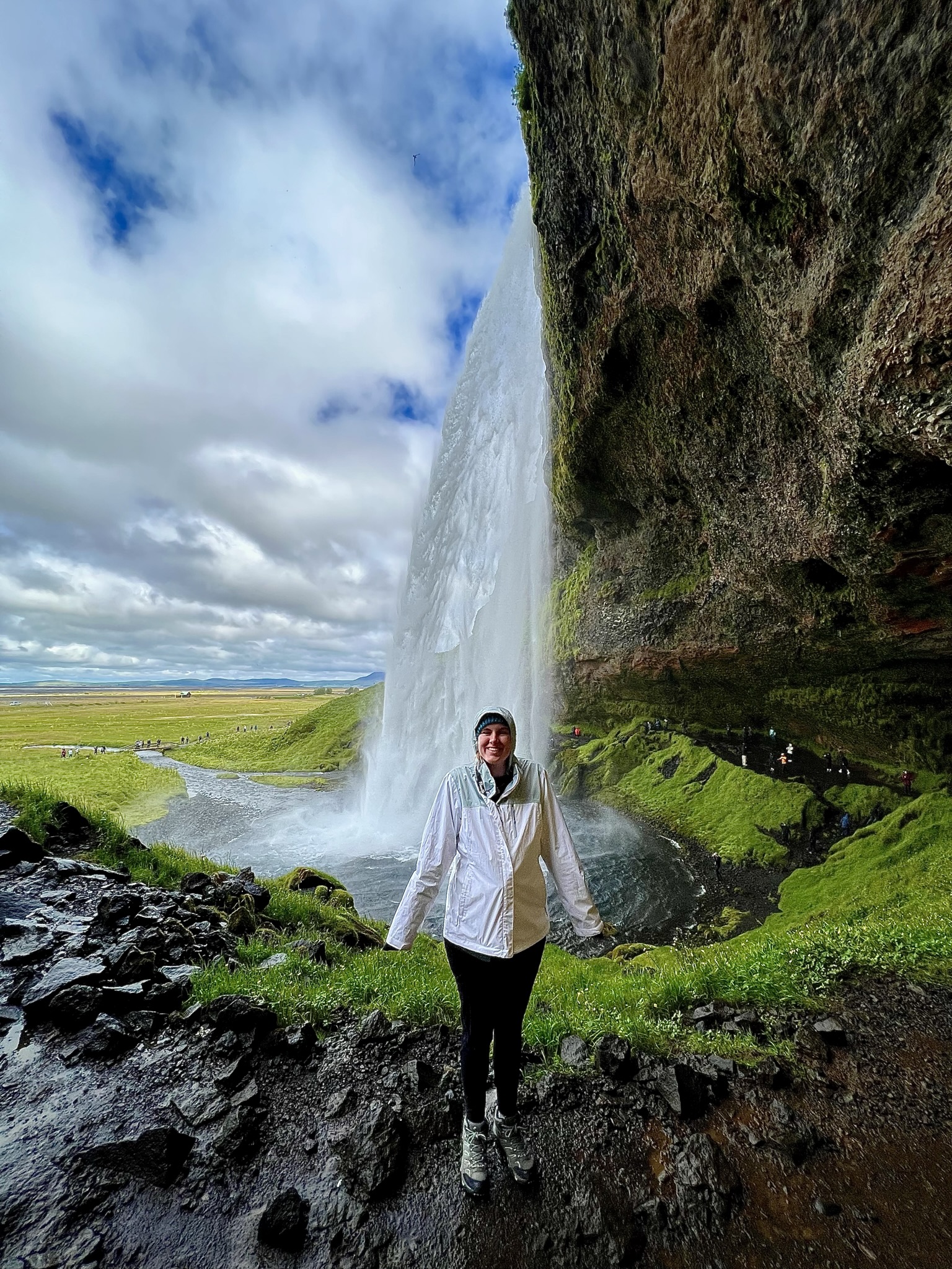
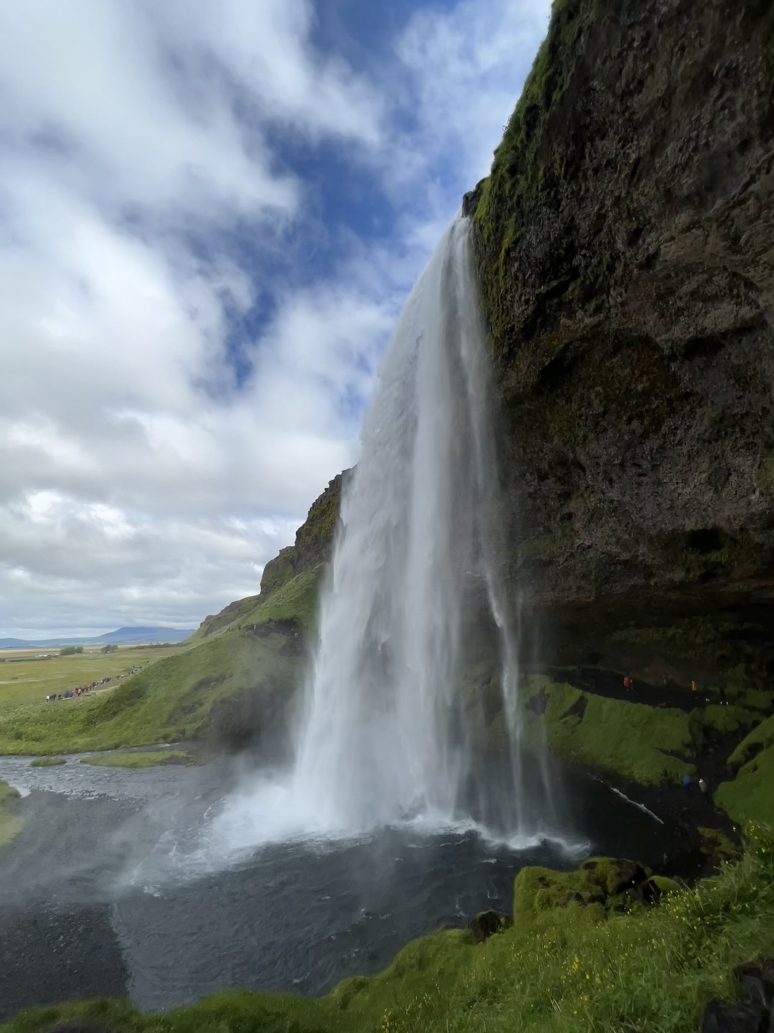
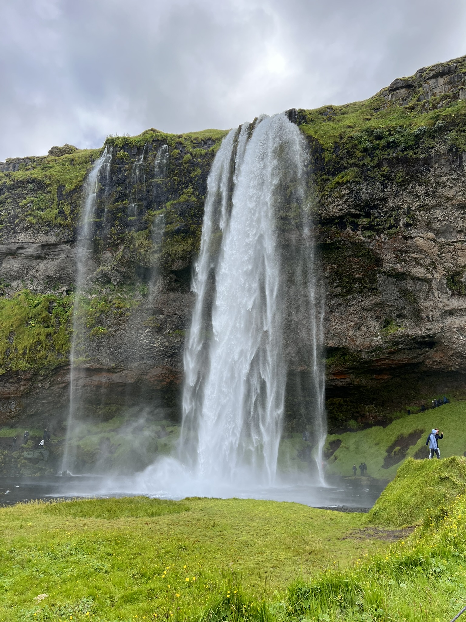
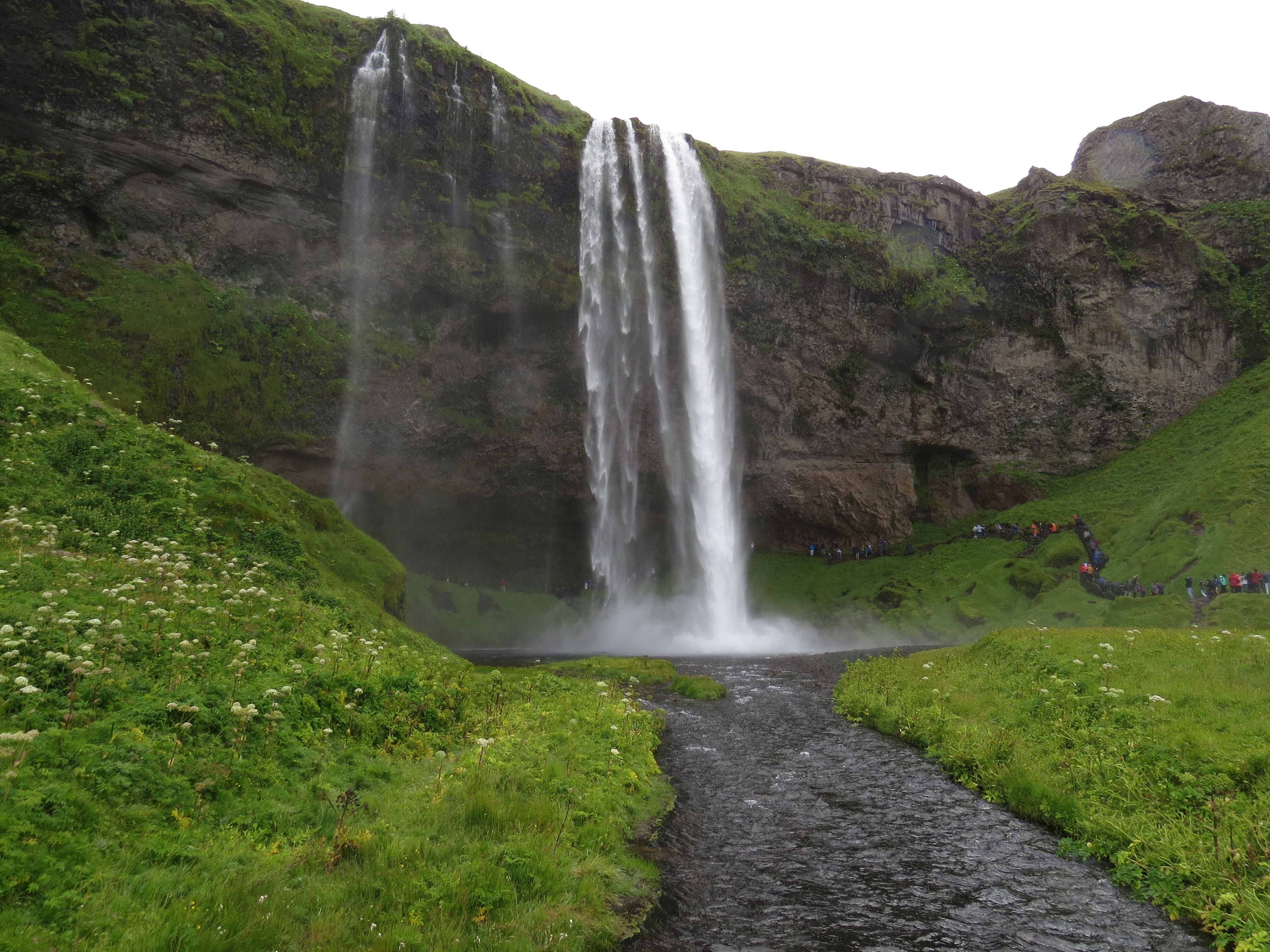
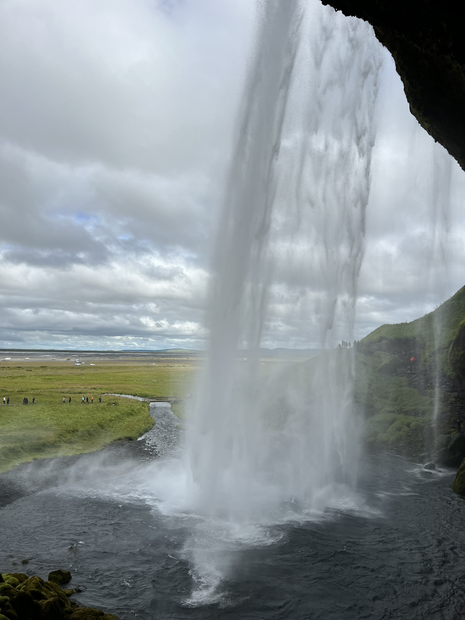
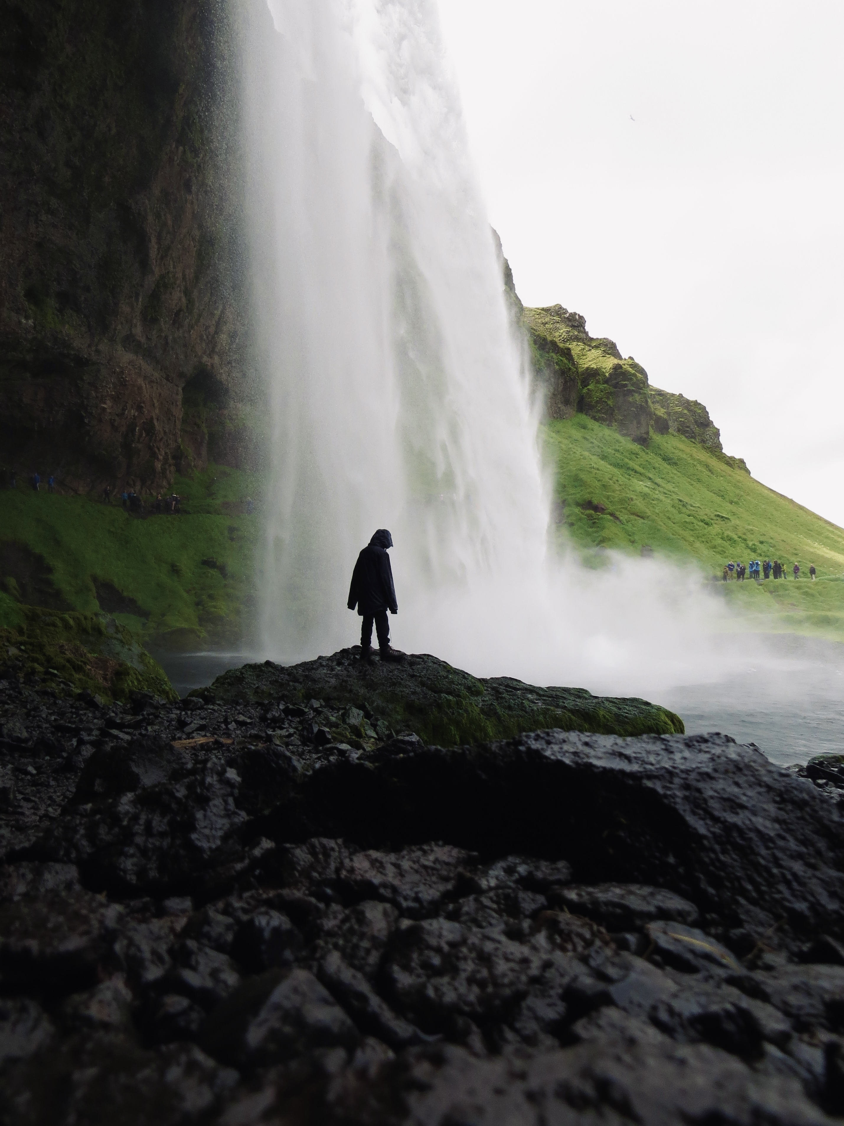
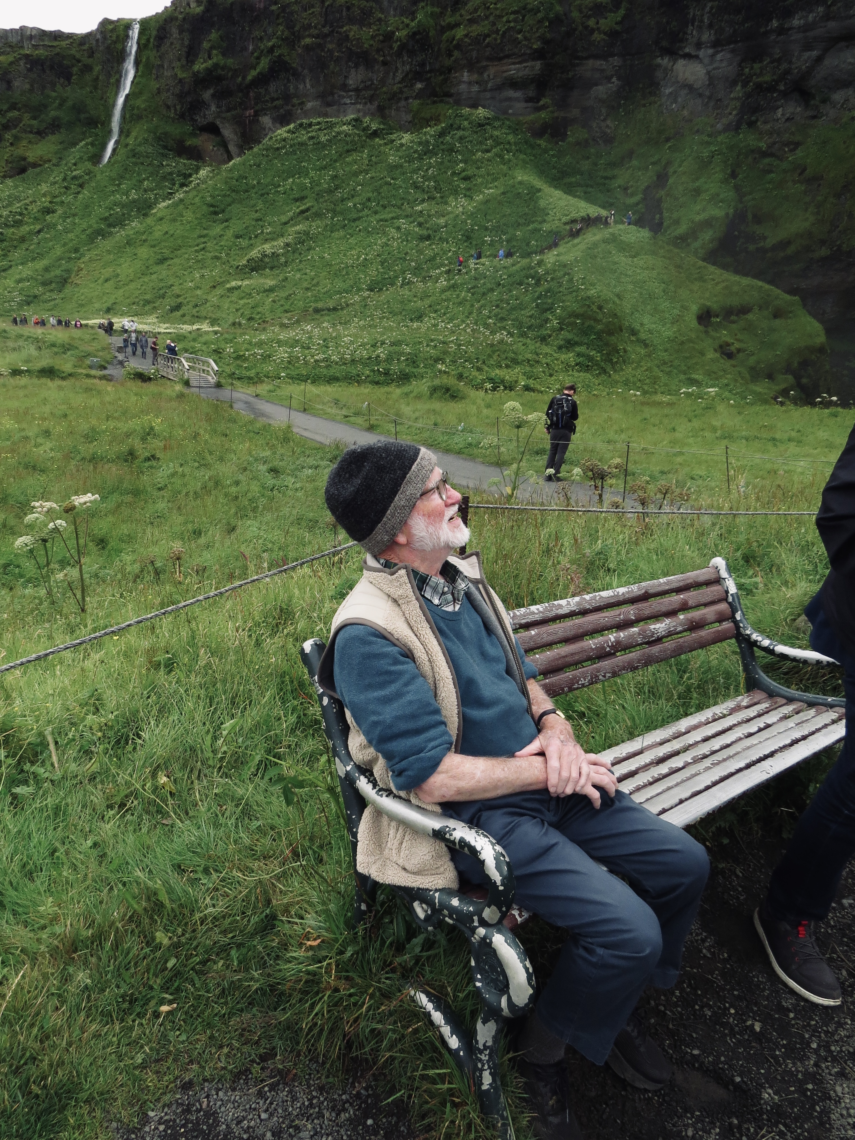
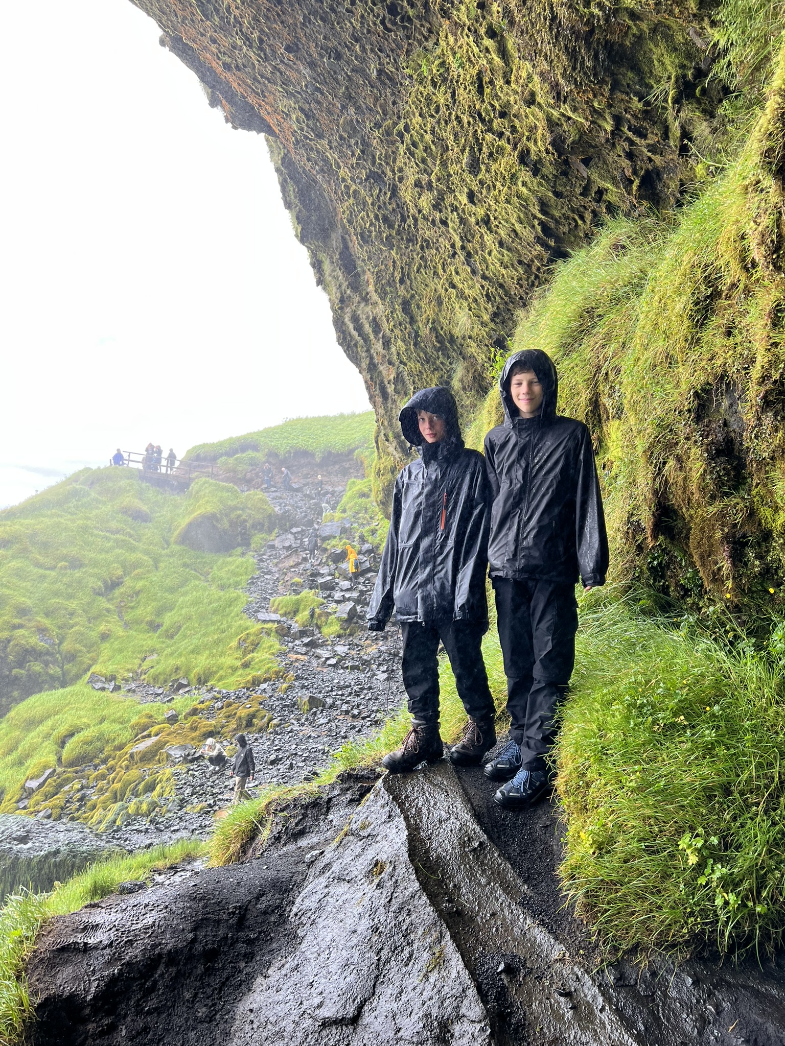
Seljalandsfoss is about 200 feet high with a spectacular cave behind it. Larkin and I followed the rocky footpath as it is one of the few waterfalls that can be hiked behind. The waterfall is on the Seljaland River which has its origin in the Eyjafjallajokull(E15) volcanic glacier. I especially had to be careful as the pathway – with its slippery mud and large boulders was treacherous. The experience was well worth the hike!
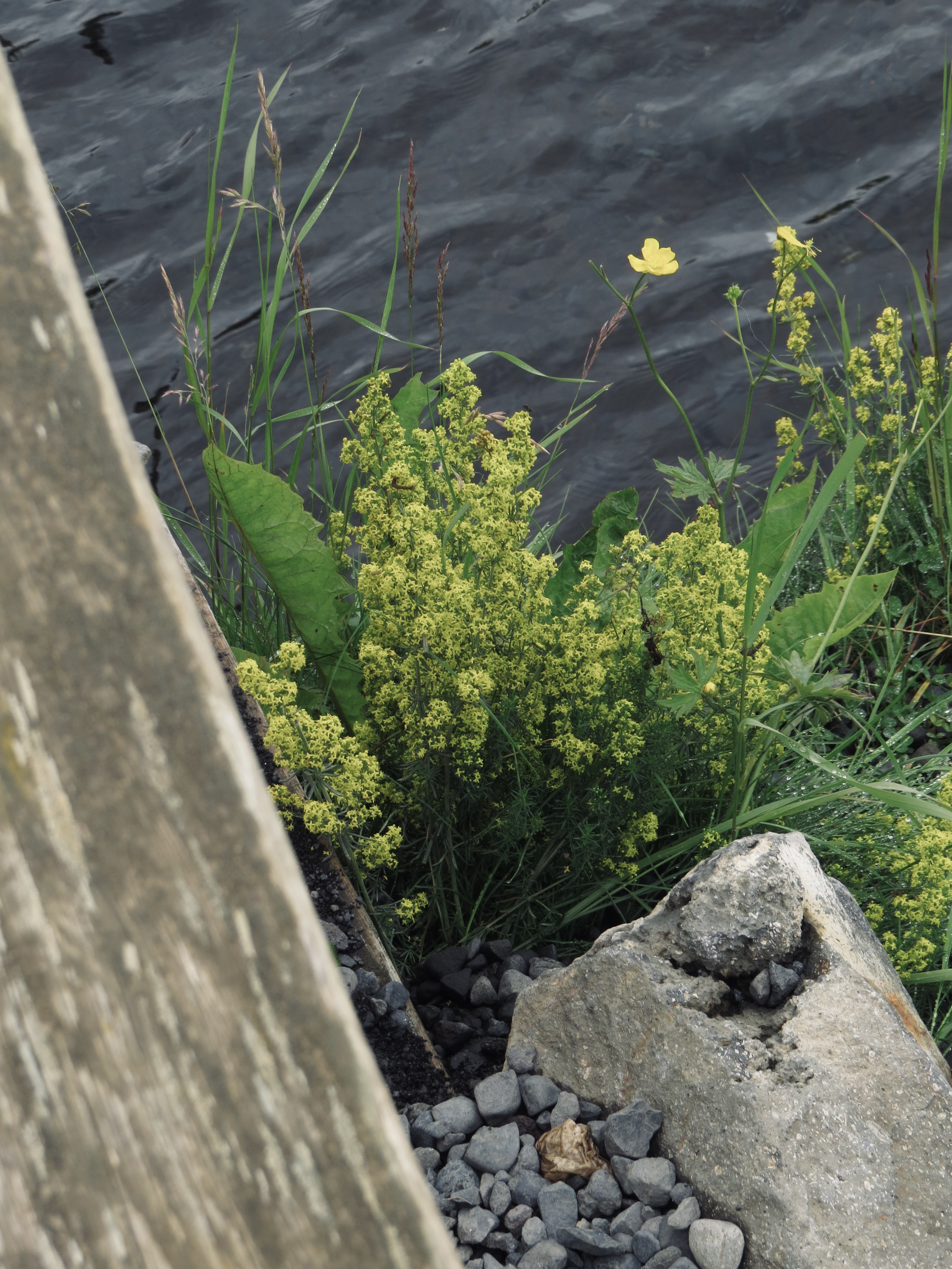
Larkin and I keep taking photos of people, plants and rocks. The white flower is called cotton plant.


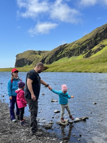
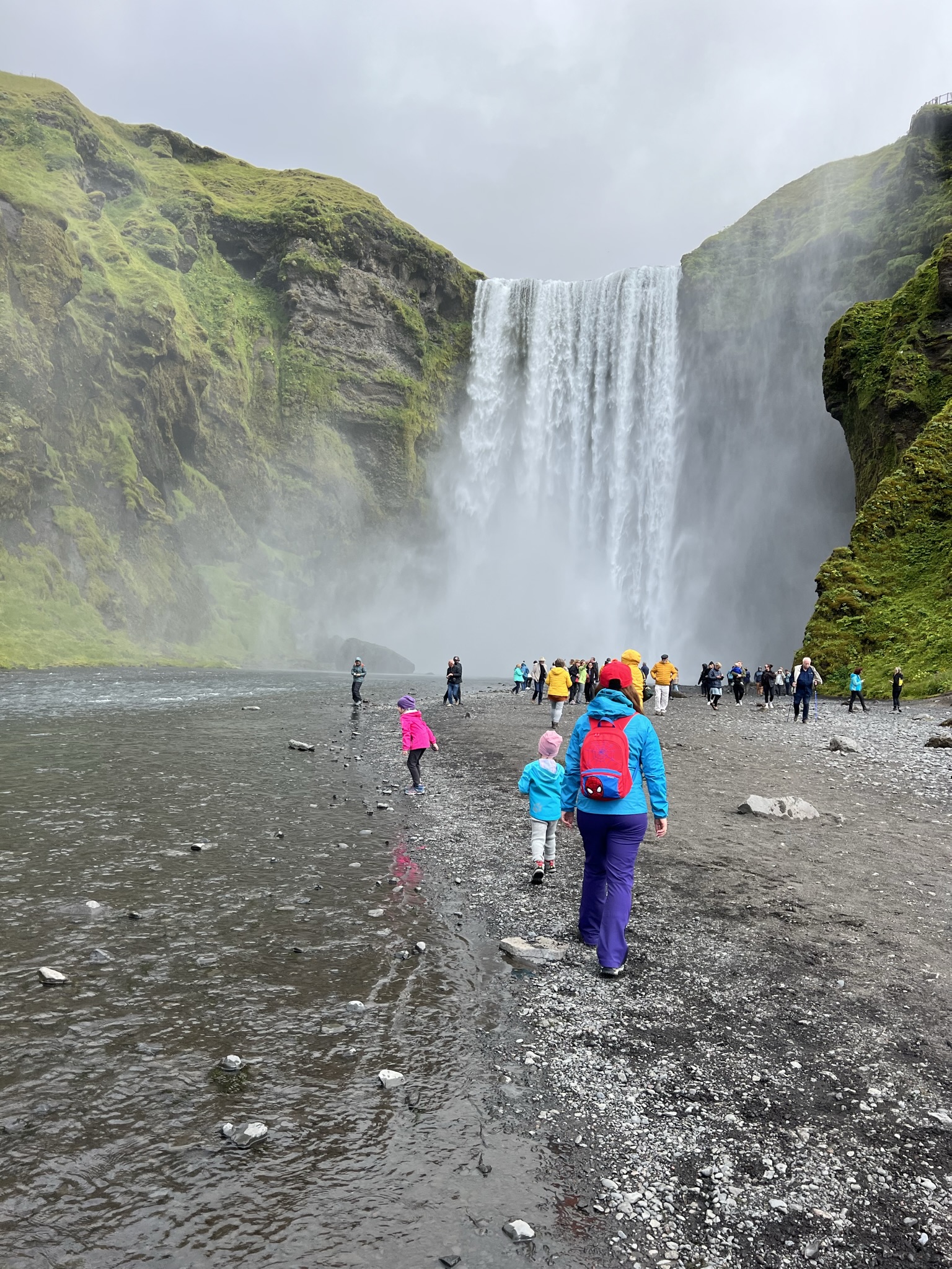
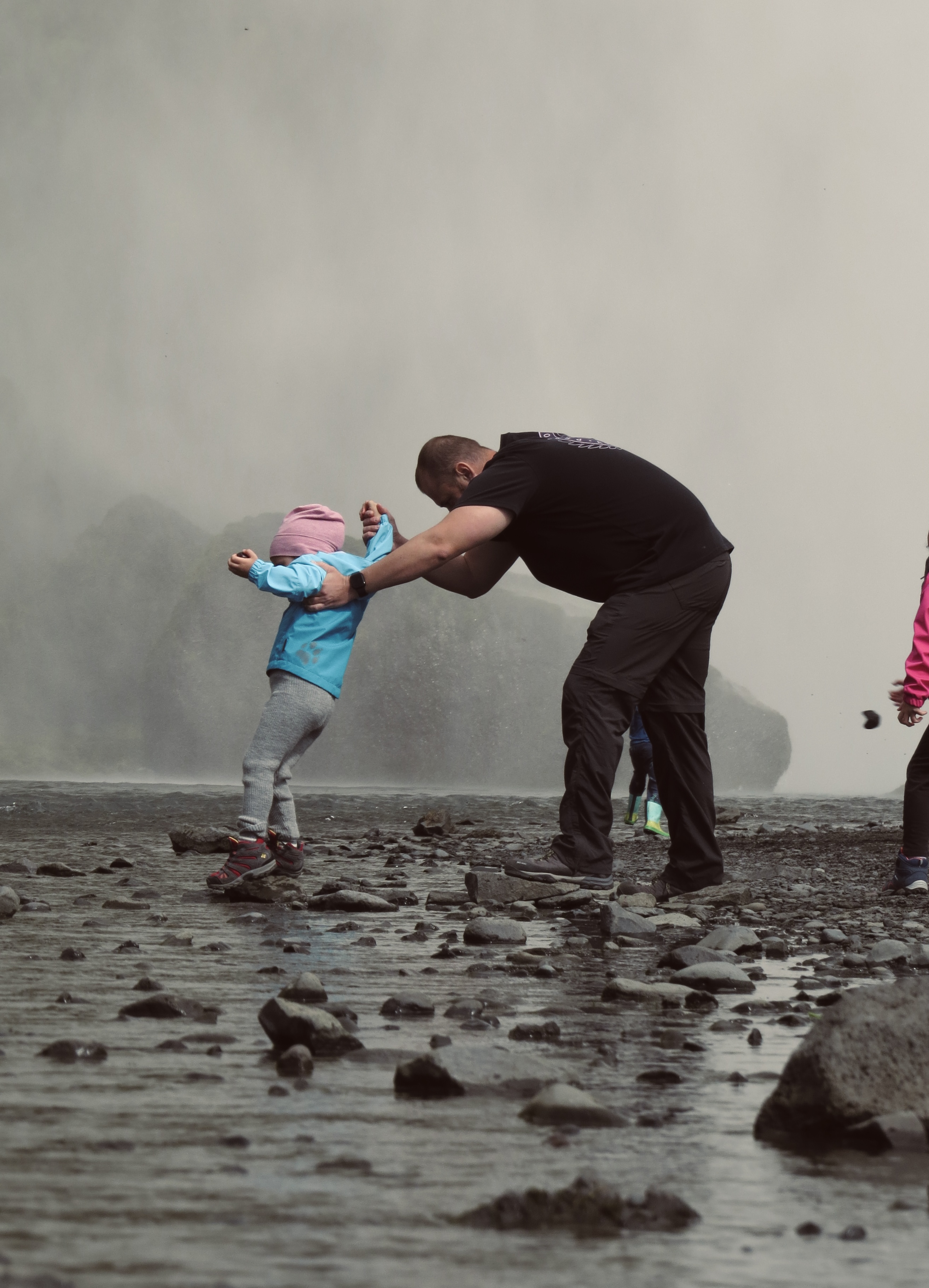
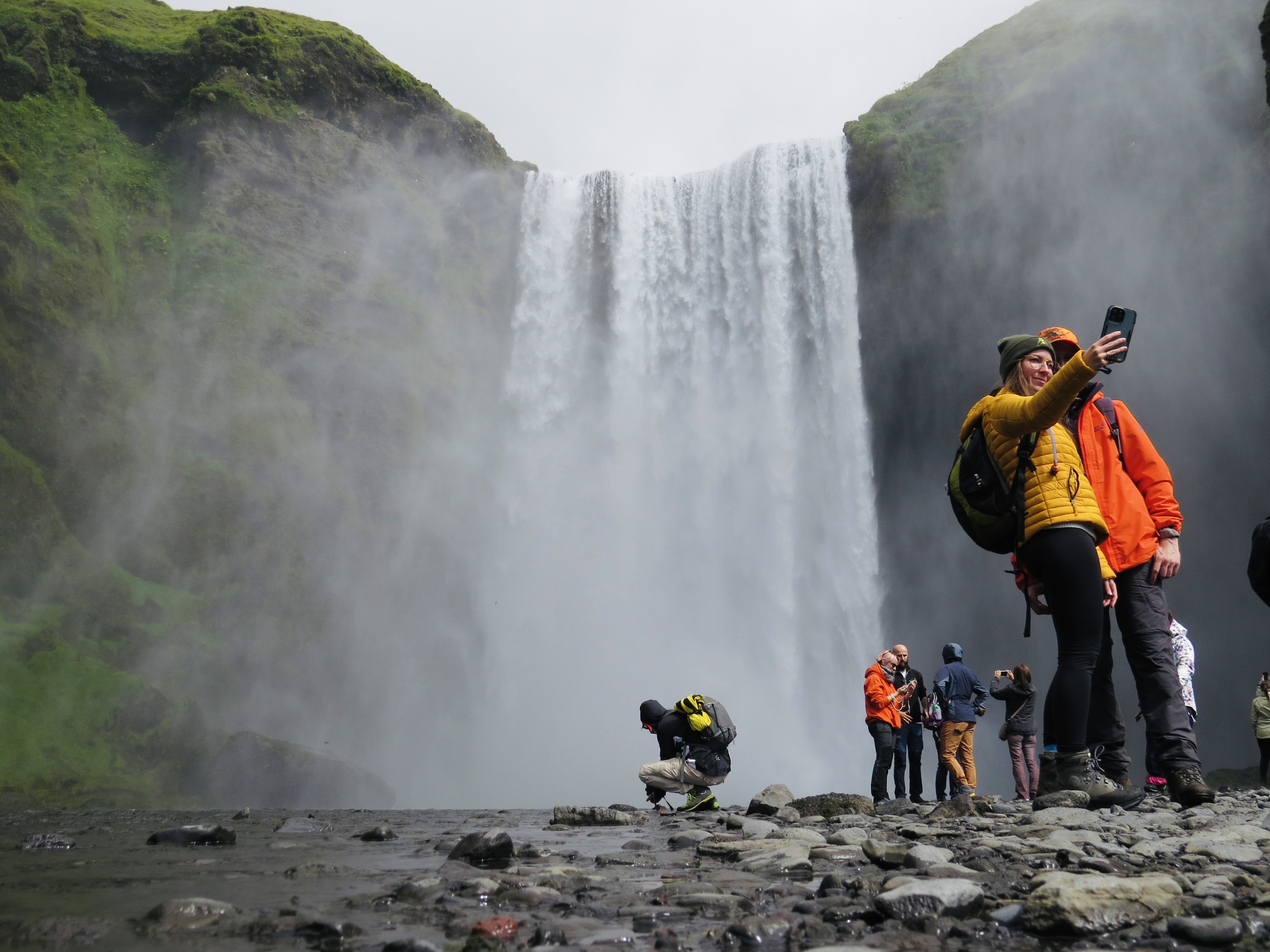
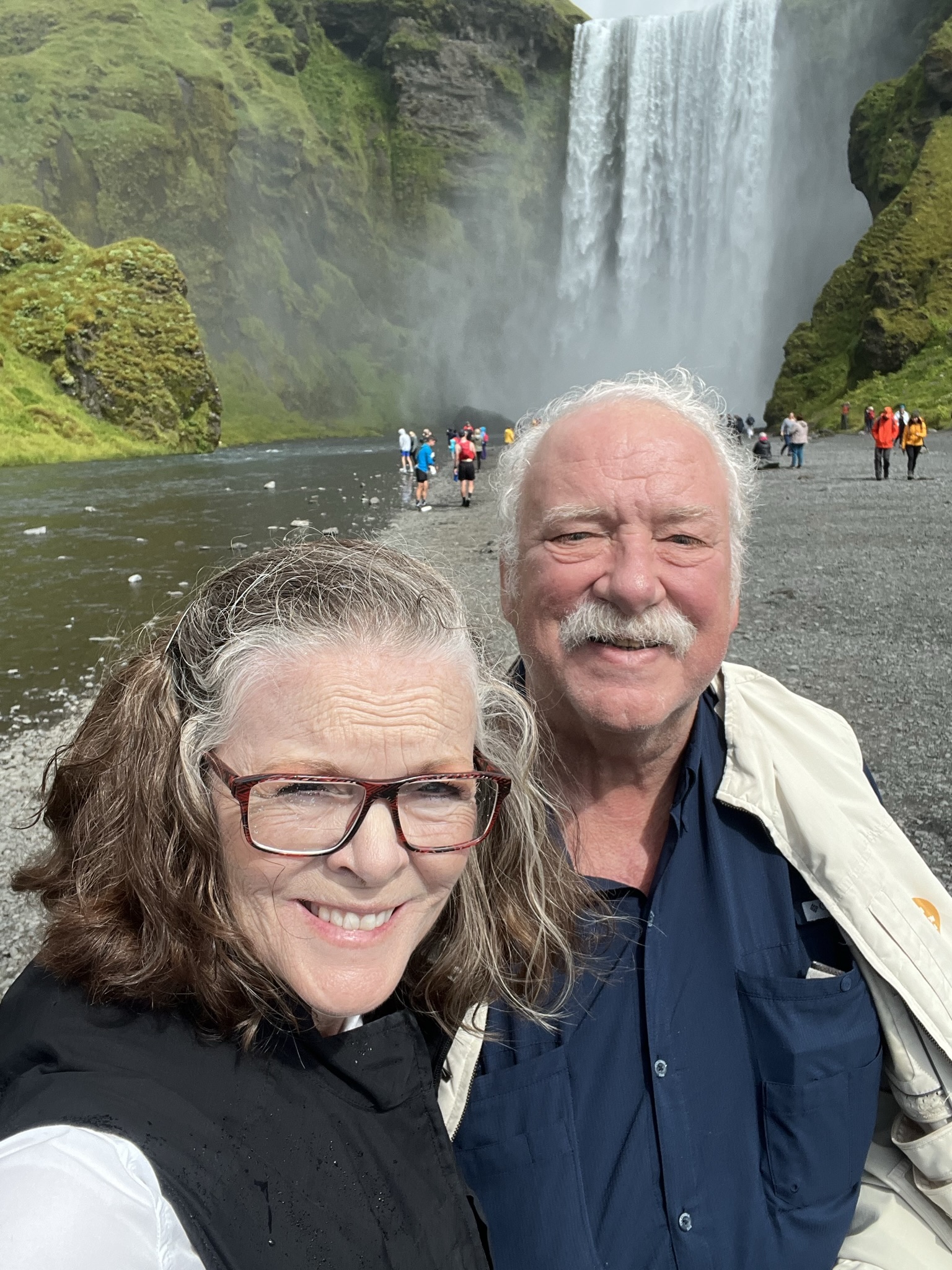
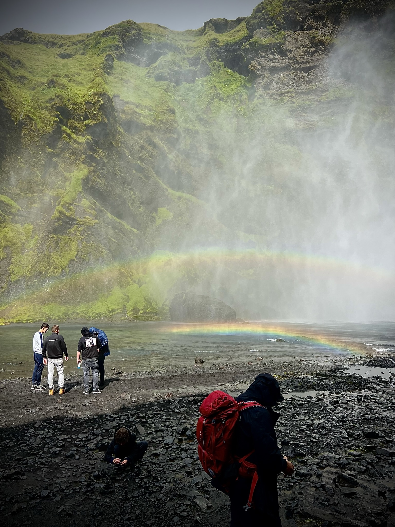
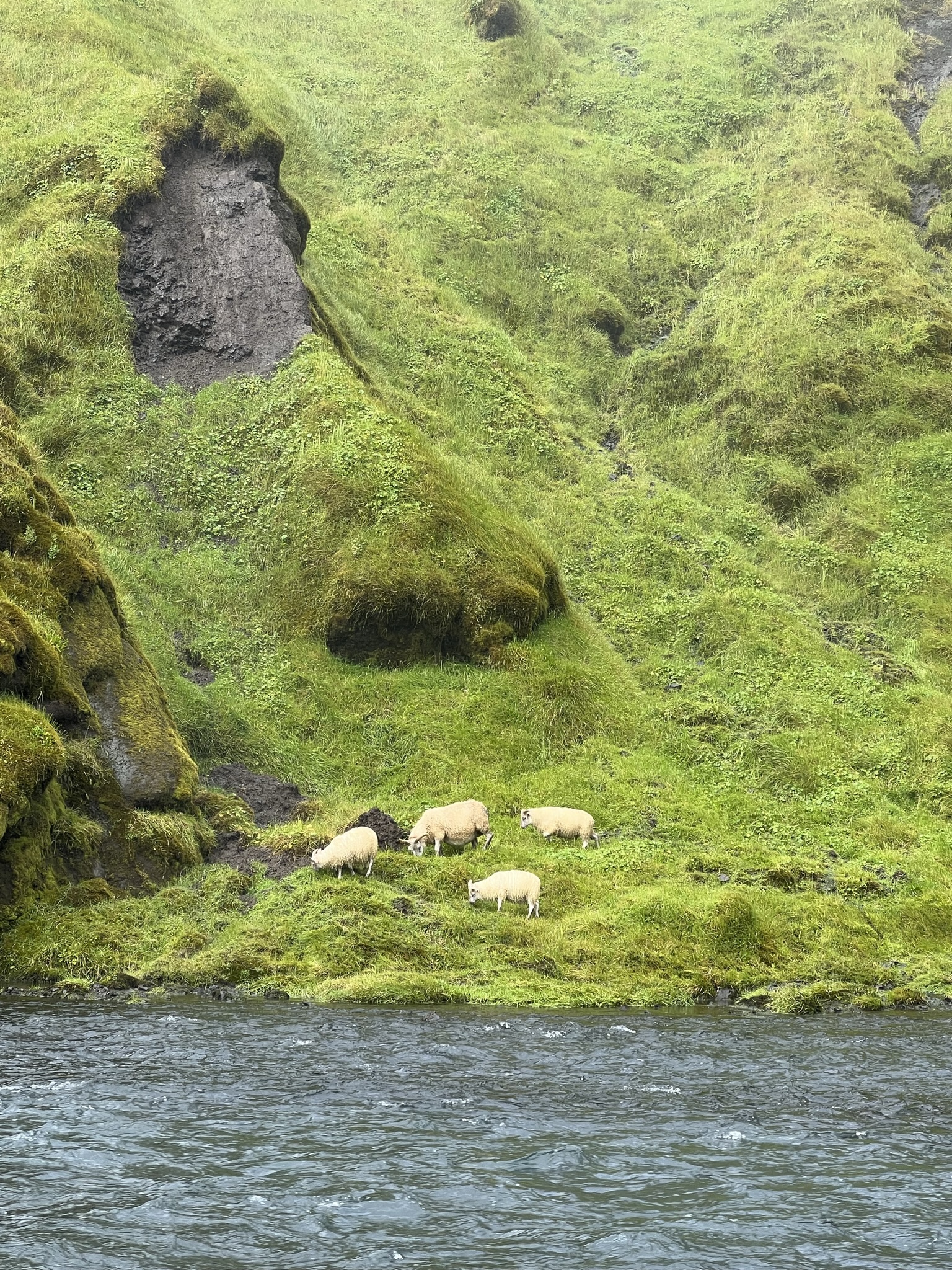
The Skogafoss waterfall is pushing 200 feet and is unique because the waterfall comes from two glaciers – both Eyjafjallajokull and Myrdalsjokull (home to the Katla volcano). A path lead up to the top so hikers could enjoy a view over the southern coastline. We happily left that to the experienced hikers. Sheep can be found wandering everywhere including the riverbeds by a waterfall. In the winter, the waterfall offers great photo opportunities when the Northern Lights dance across the sky. That would certainly be a wonderful winter adventure!


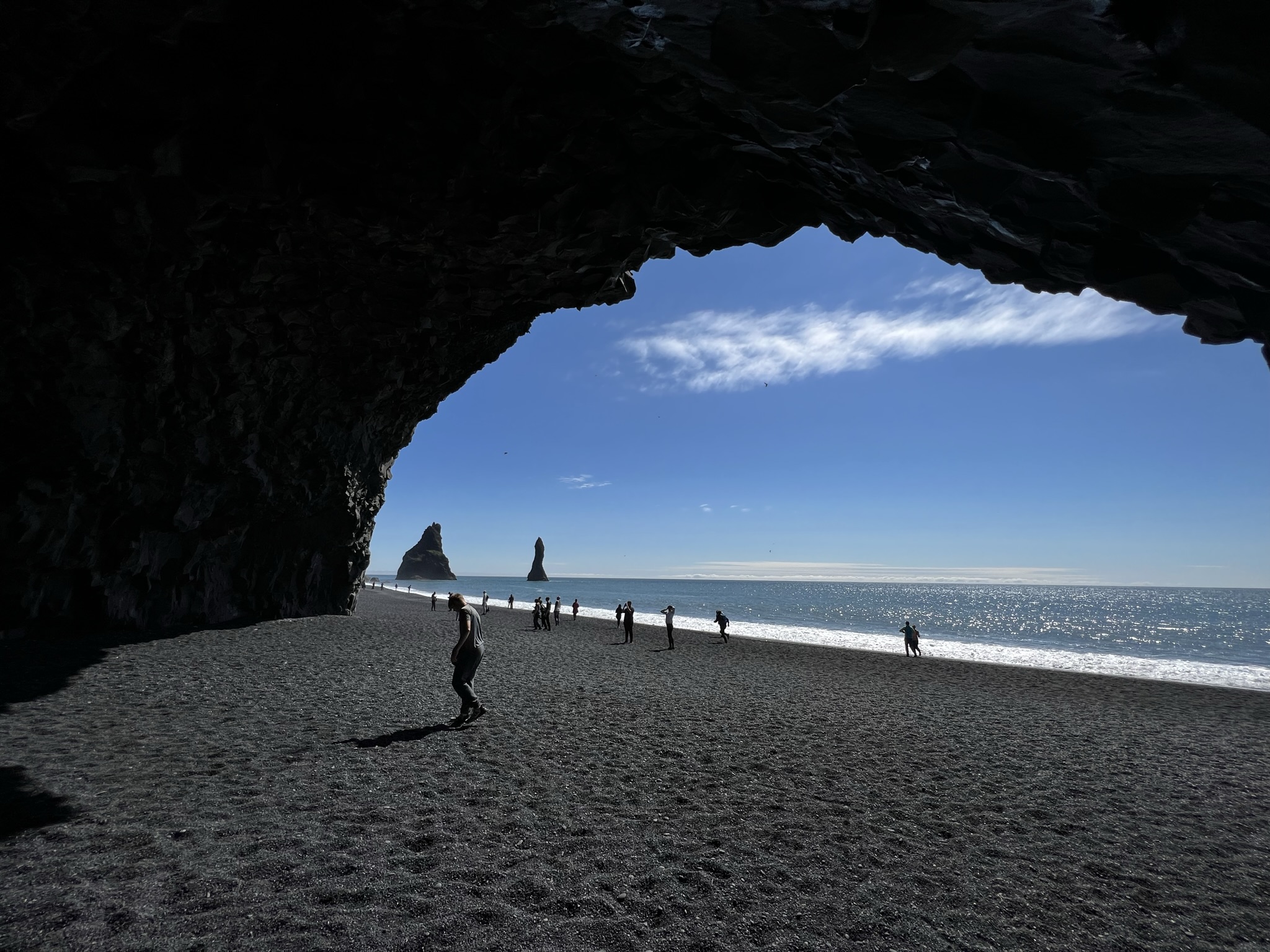
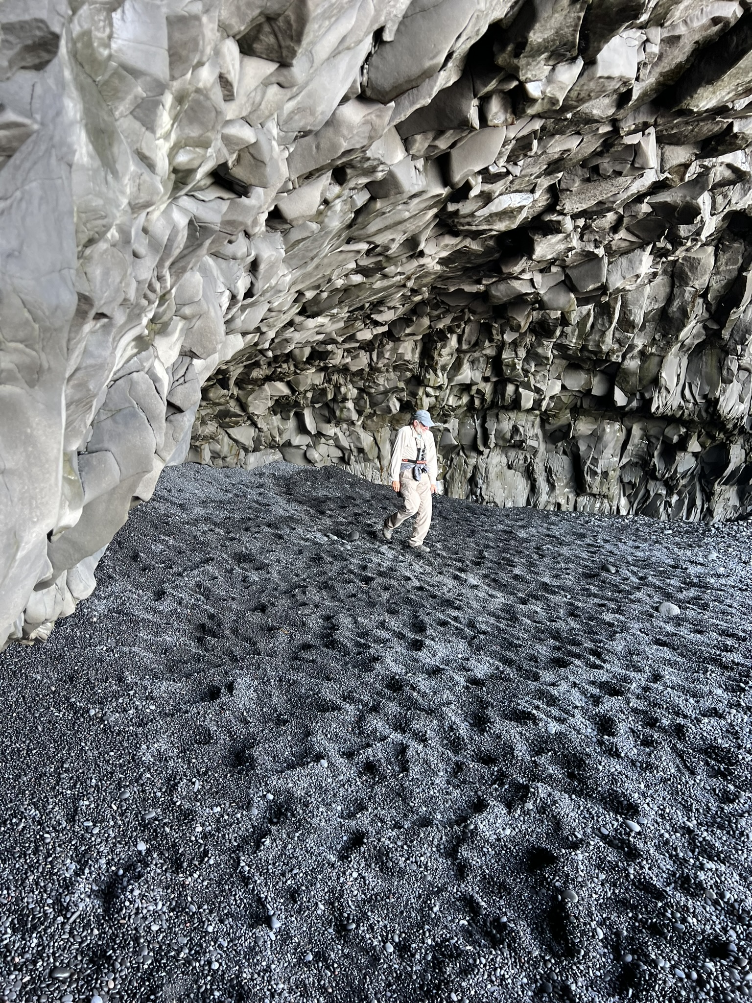
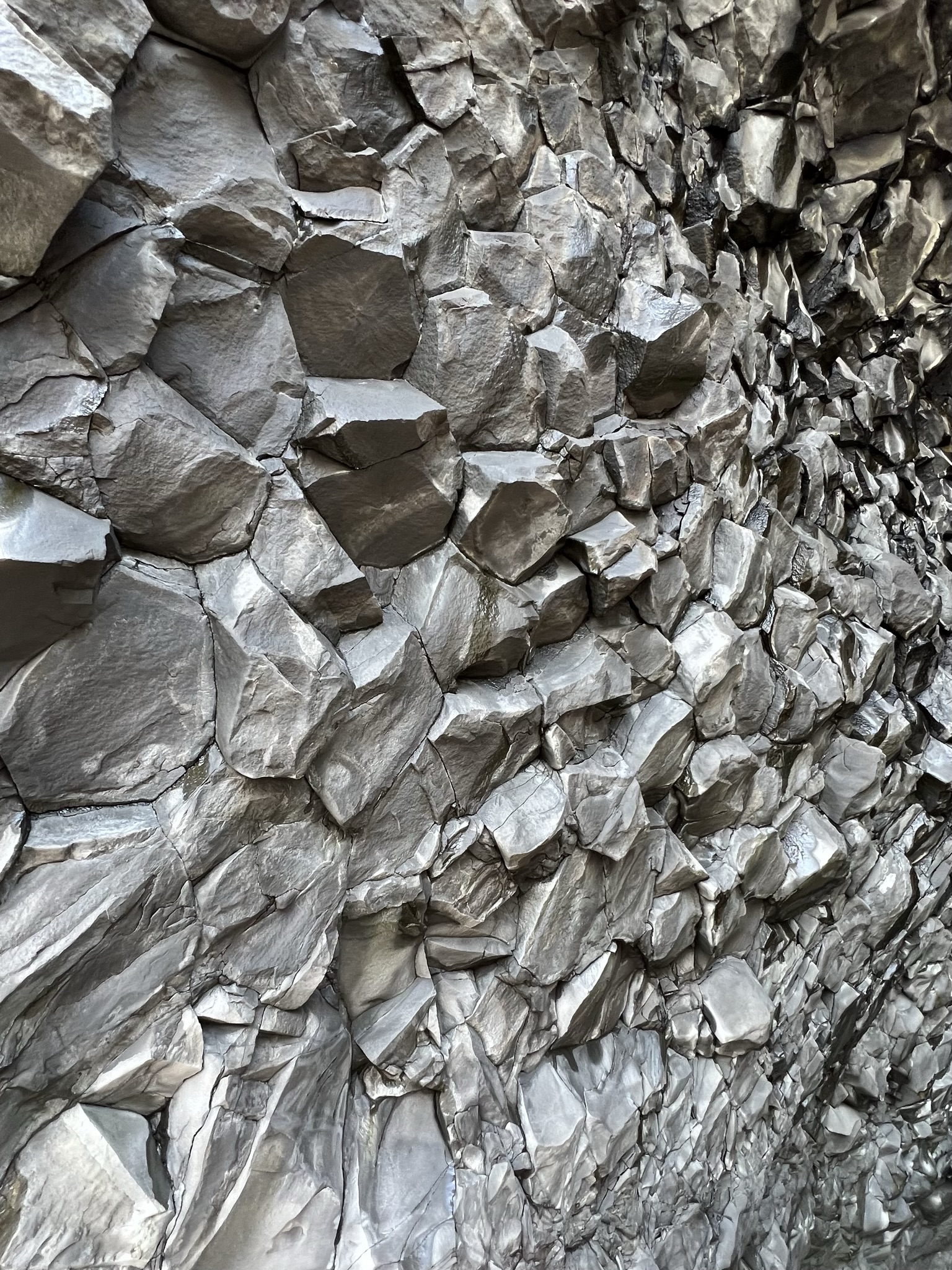
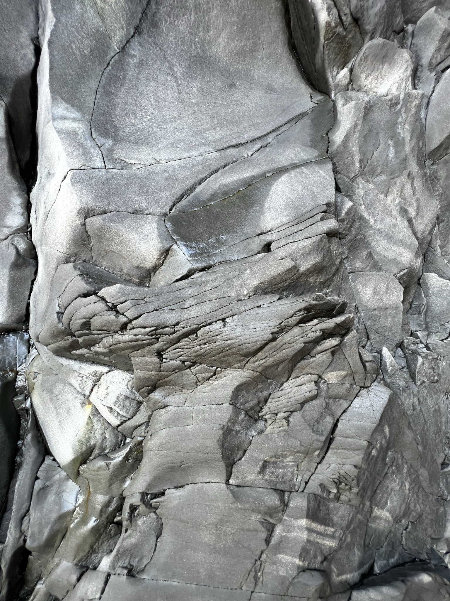
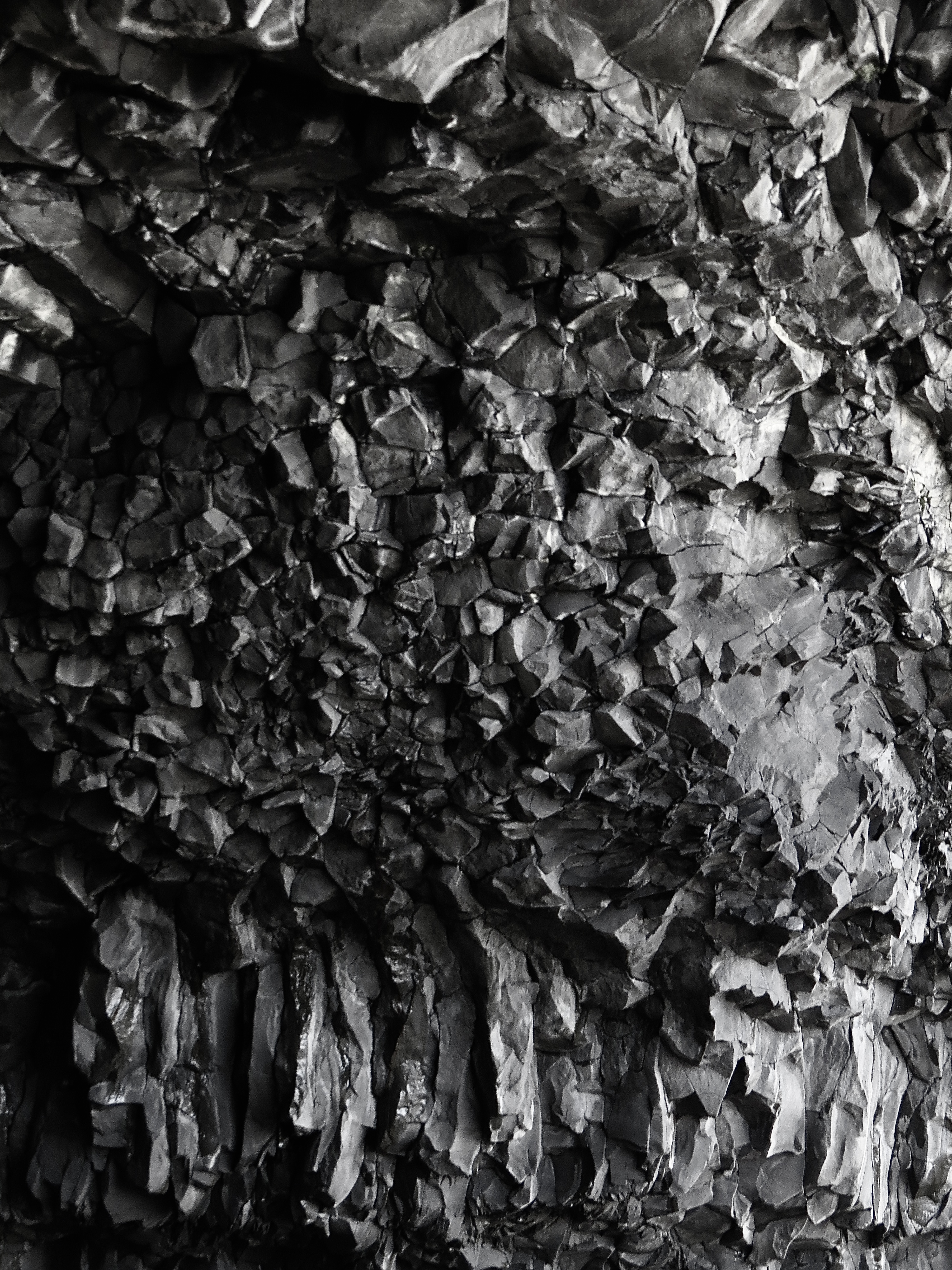
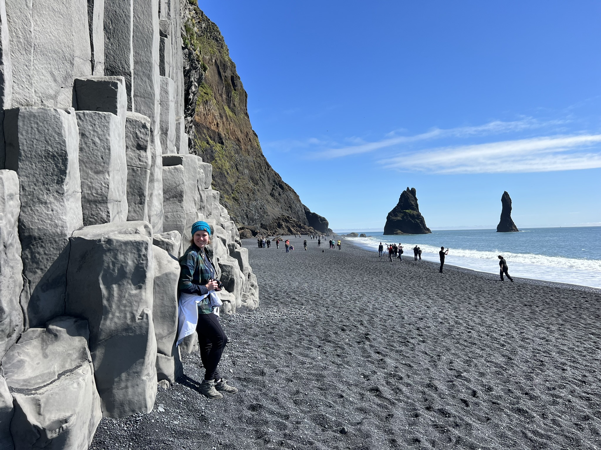
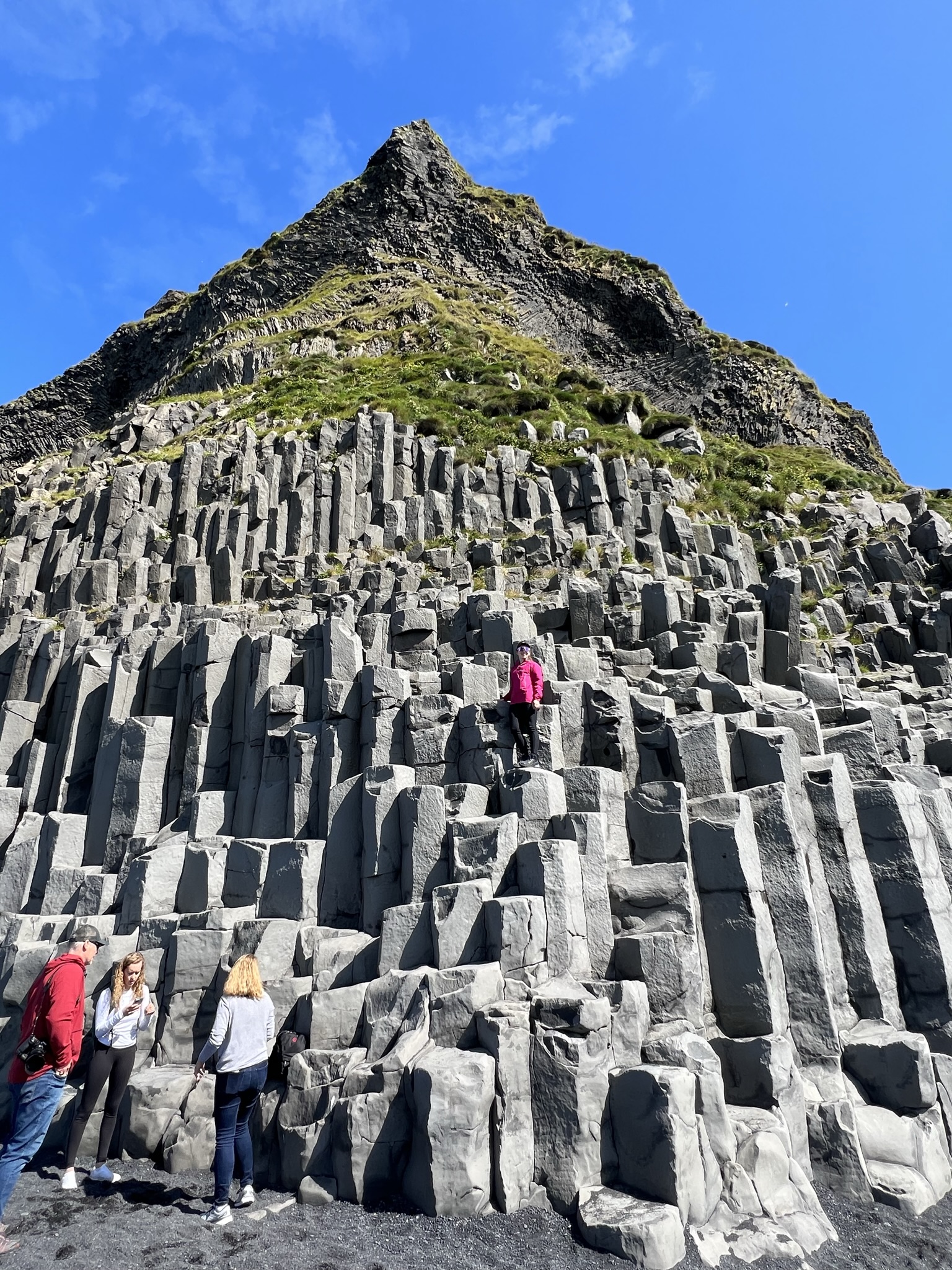
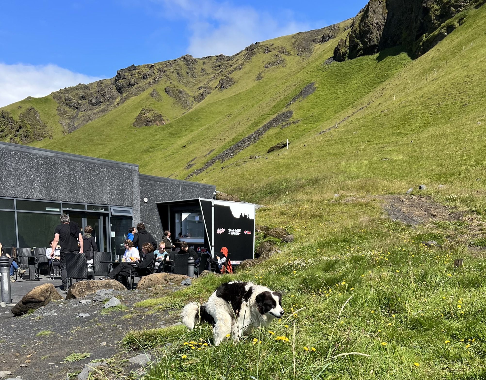
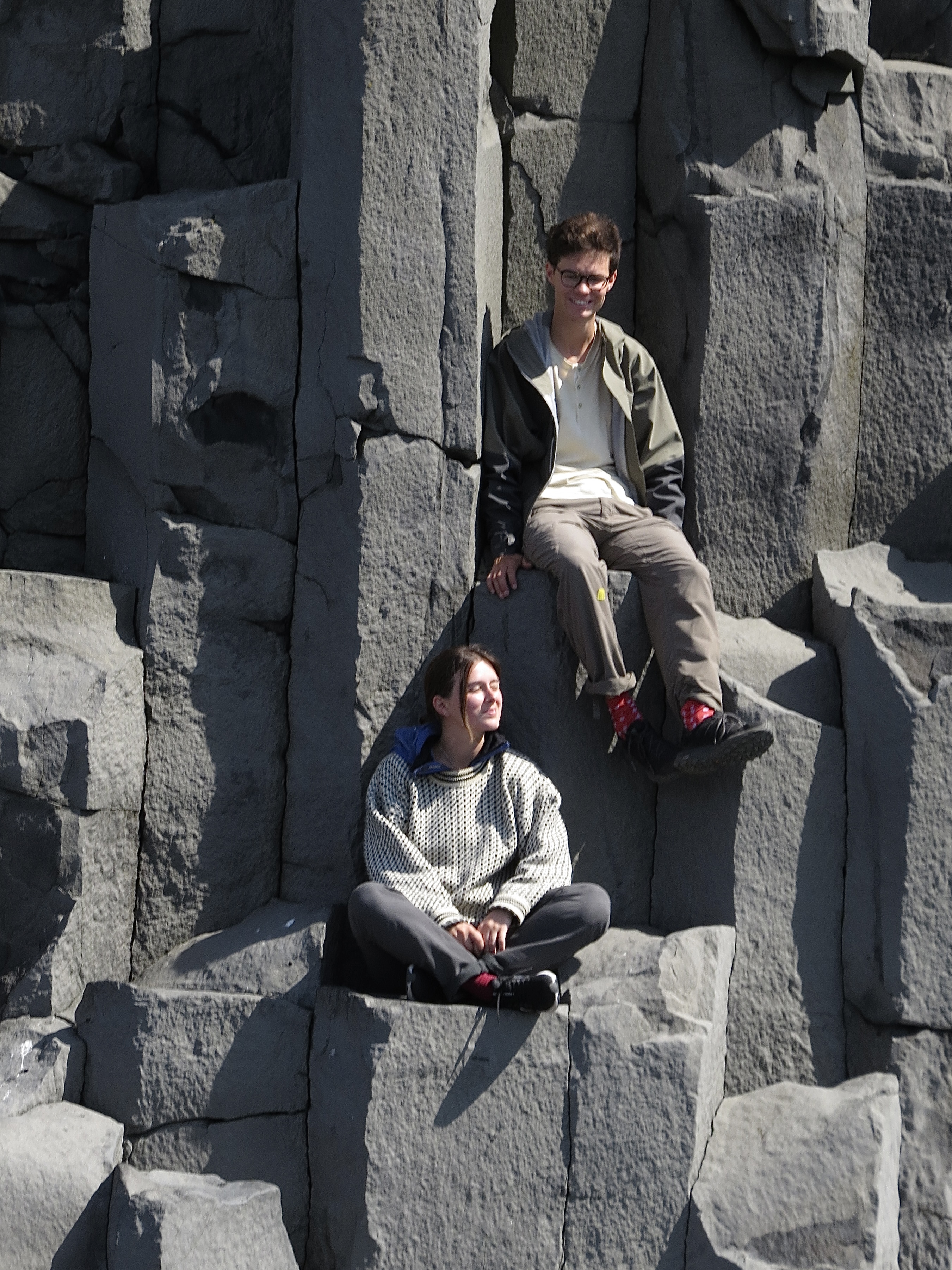
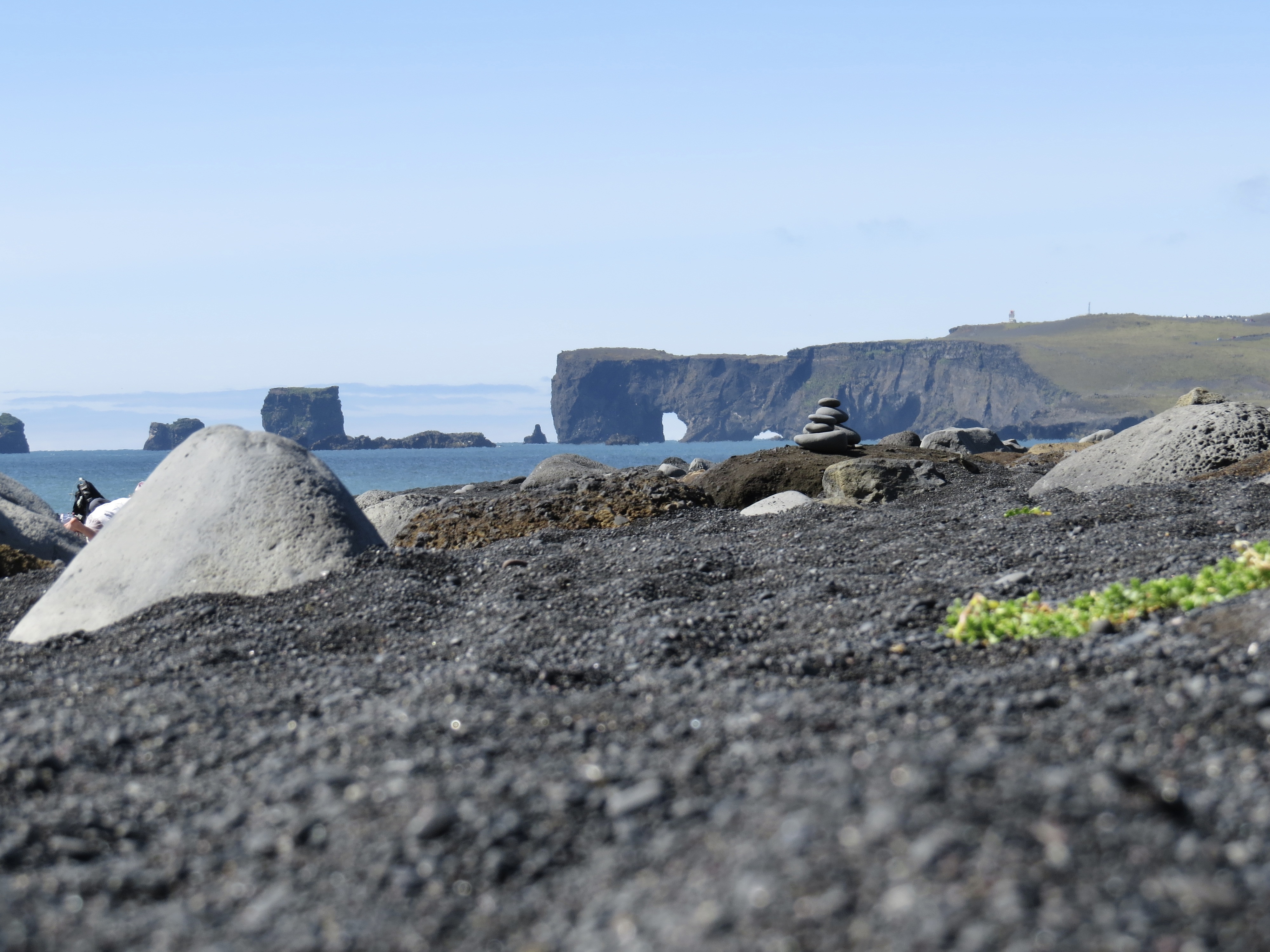
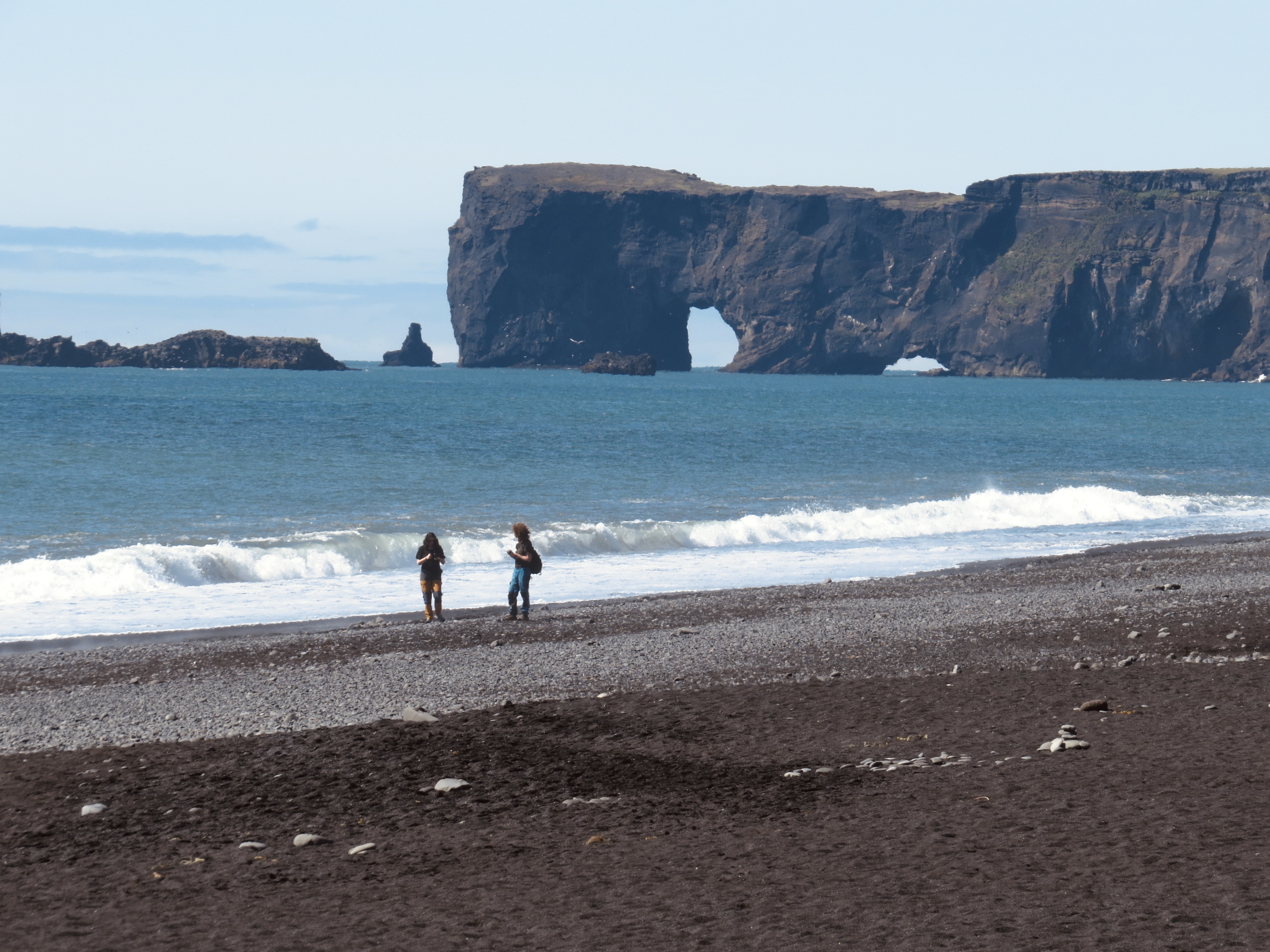
Our day wasn’t even half over over as we headed to the black sand beach, Reynisfjara with its symmetrical hexagon columns and its caves. The sea stacks, according to folklore, were trolls turned into stone. The major issue at this beach here is sneaker waves that suddenly appear and we were told to never turn our backs on this ocean! I imagine many of these family photos will end up on Christmas cards. We had time for a quick lunch at the restaurant on the beach. Note – even Icelandic dogs do it in the grass.


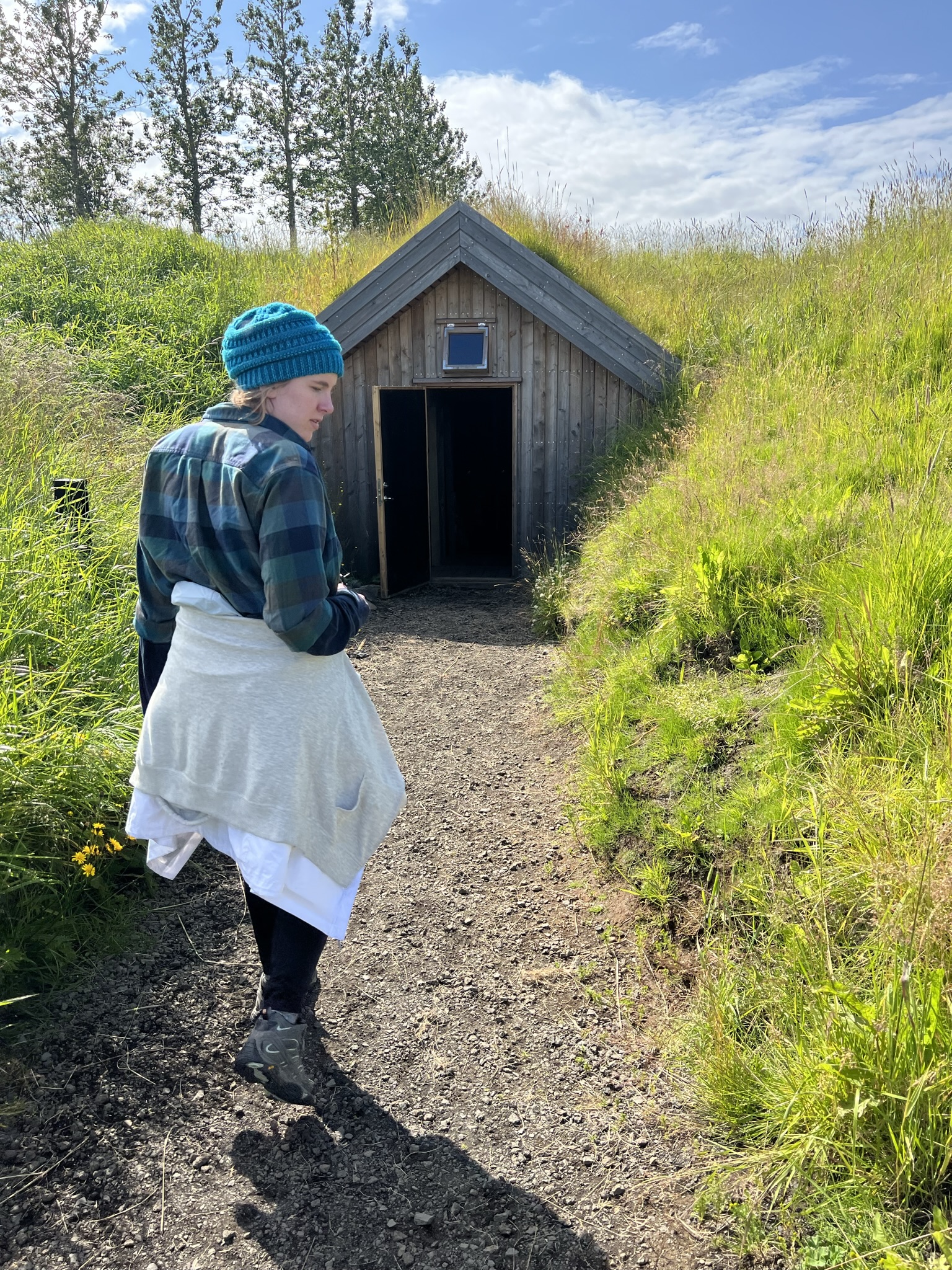
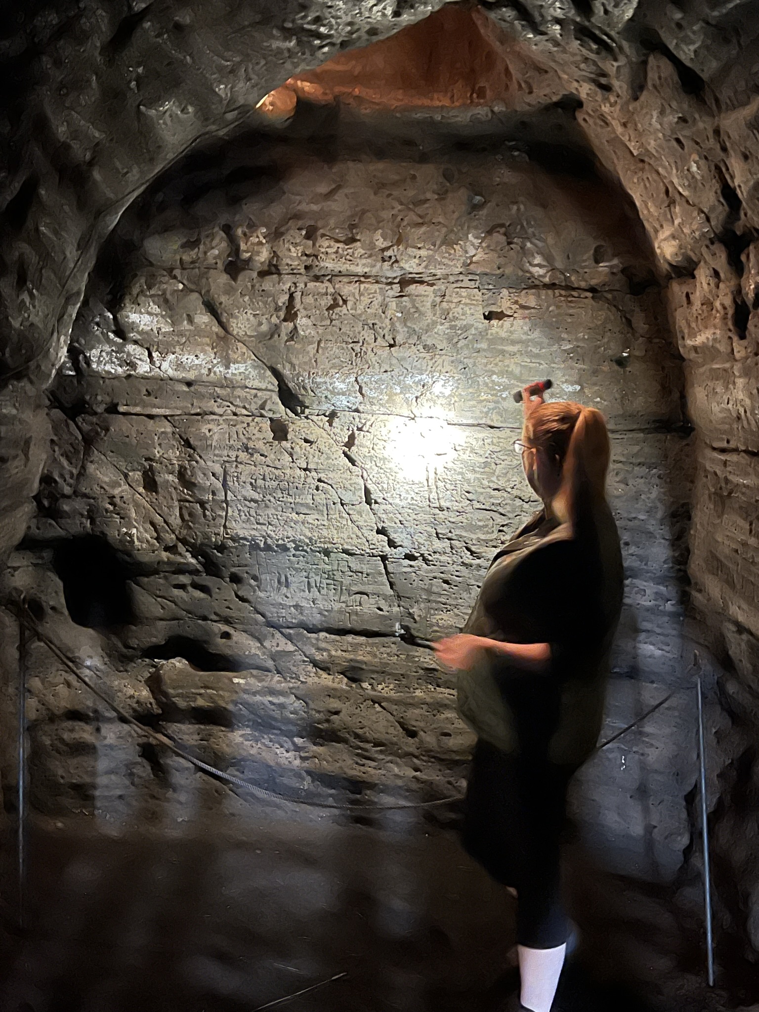
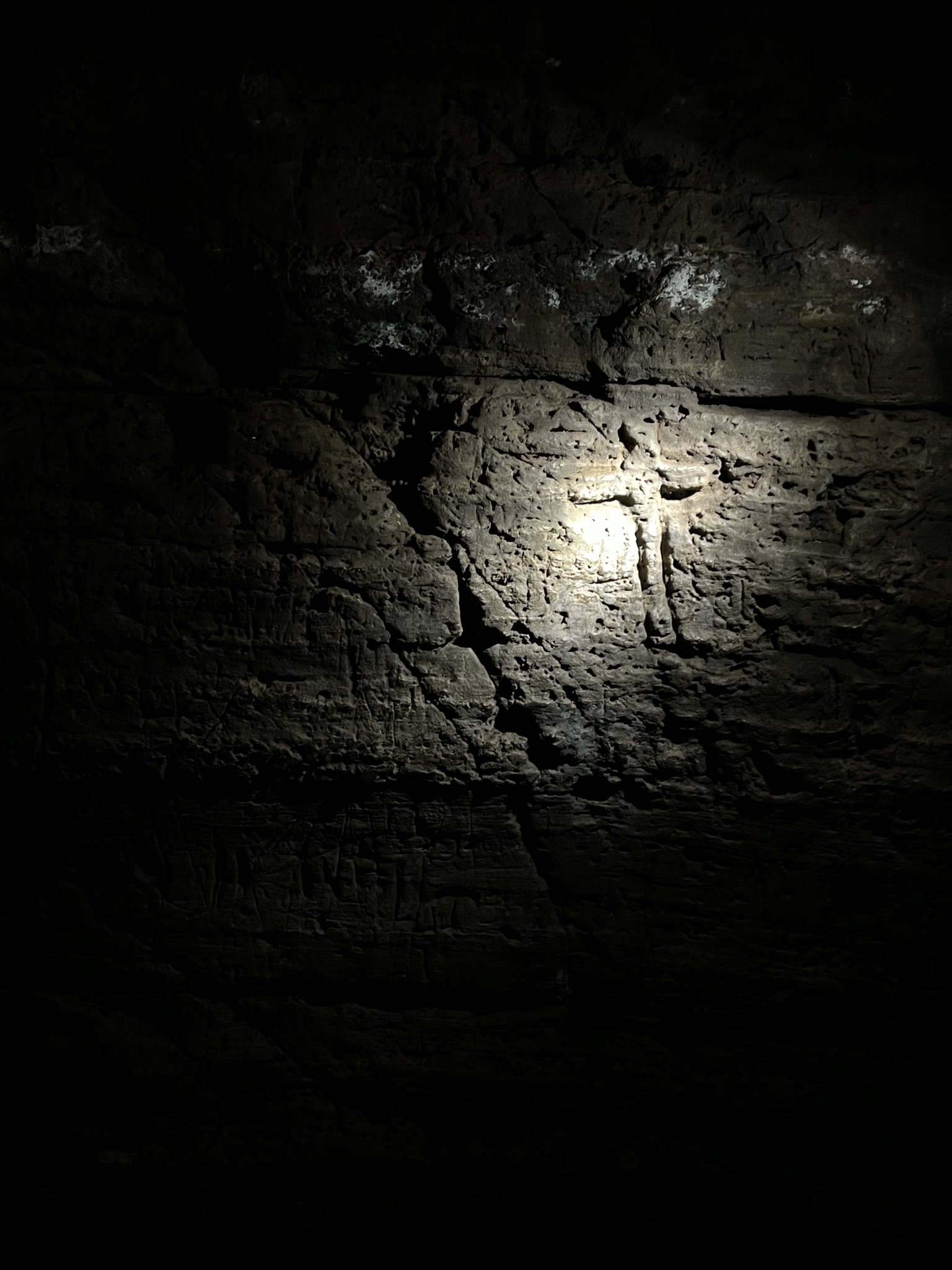
Next up…the Caves of Hella. Around 200 man-made caves can be found in the south coast of Iceland. Since Norwegians are not cave diggers, historians realized history needed to change as these early caves were most likely dug by Celtic monks. Four of these caves are available to visit and we enjoyed a tour through the maze. This historical site is Iceland’s oldest standing archeological remains.
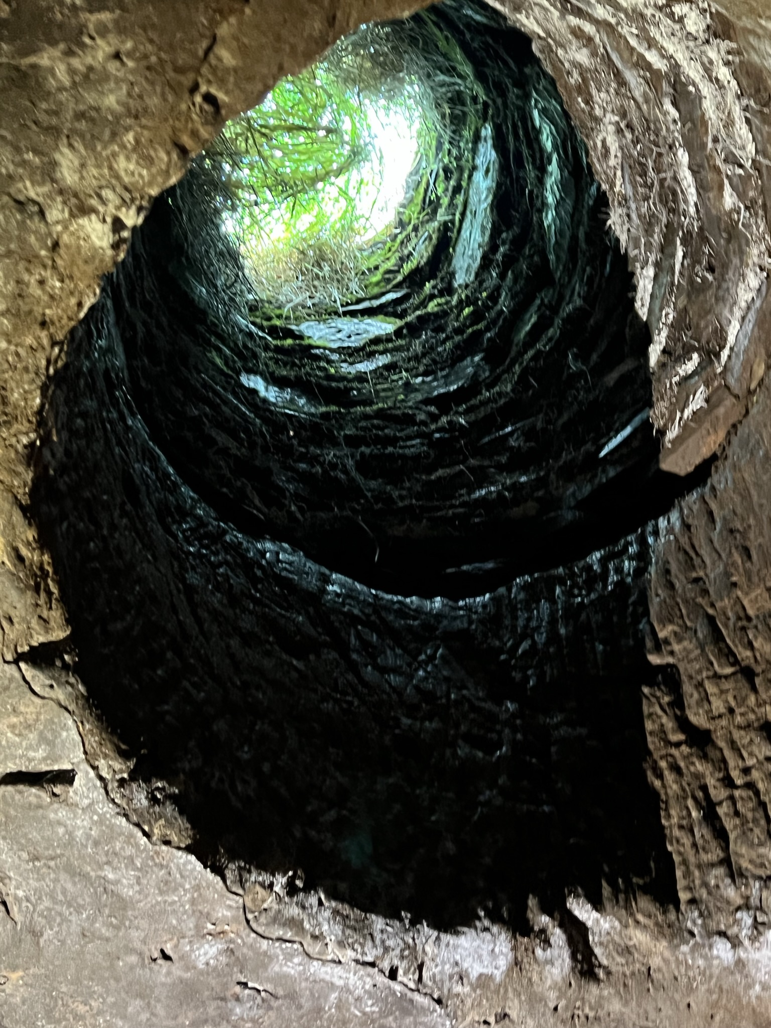
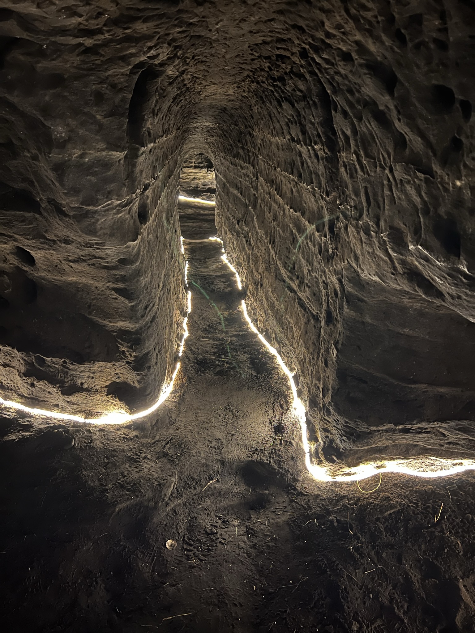
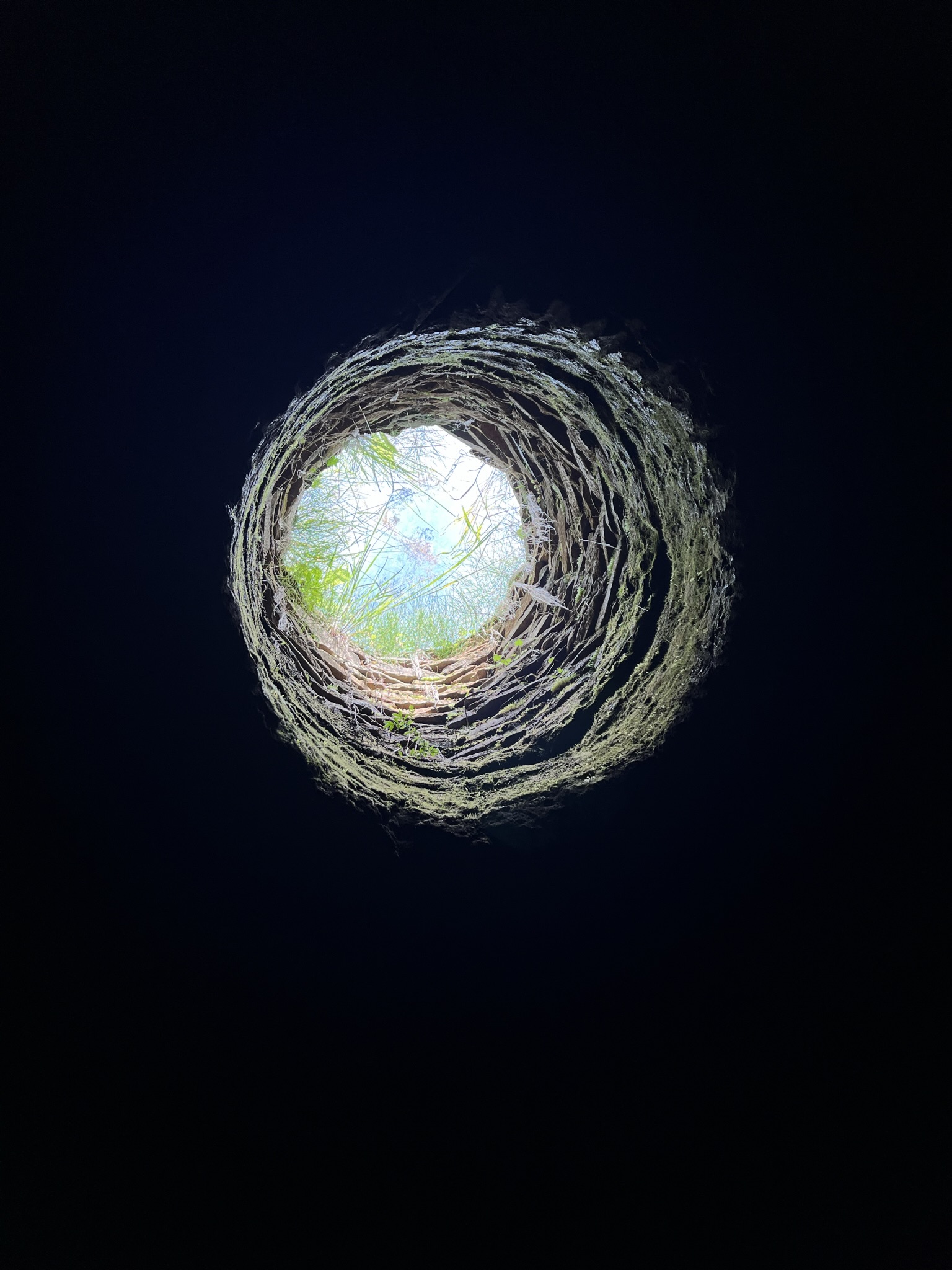
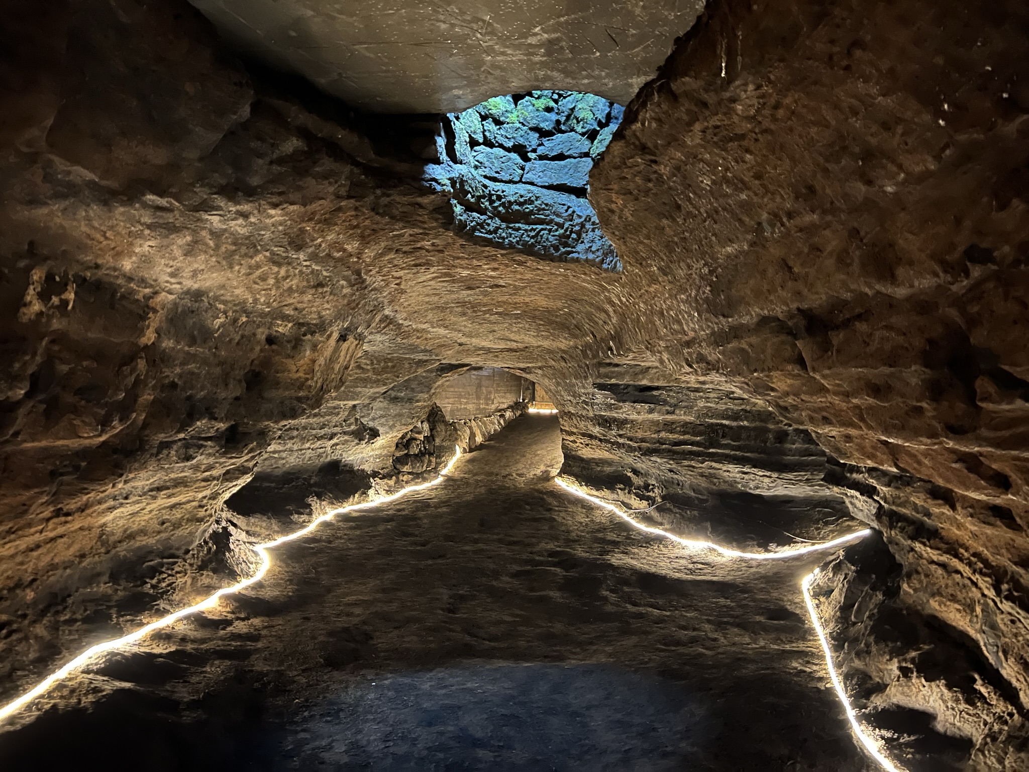
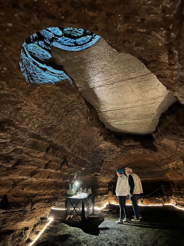
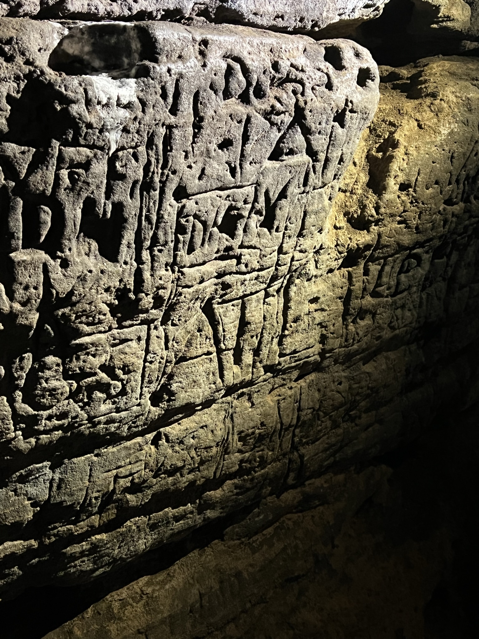
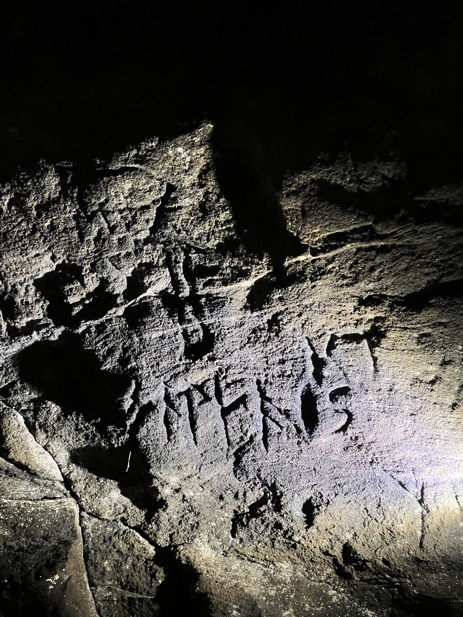
There were many carvings on the cave walls, some old, some newer. Local farmers have used some of these caves for animals and storage for centuries. There are definitely carvings that show a few caves were used for Christian rituals.

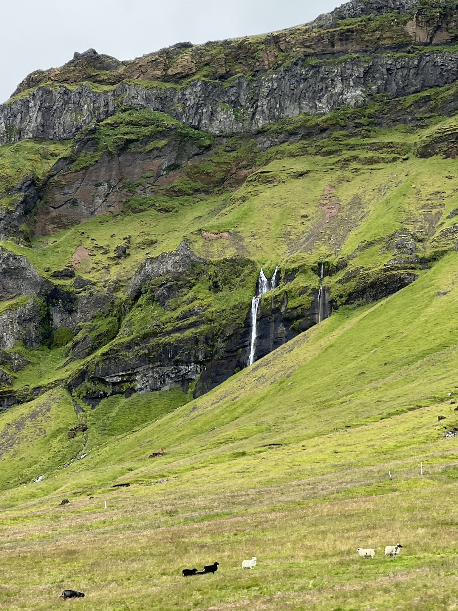
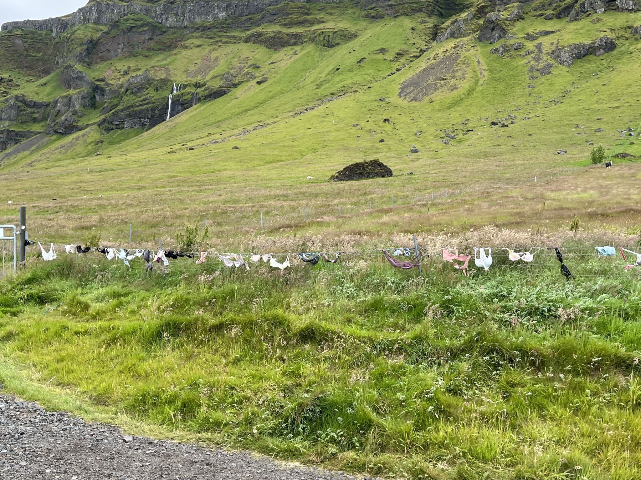
Waterfalls in the vistas as we drove back to the Ion Adventure…and the unique bra fence! I wonder if they had my size?

Next up…our last day in Iceland!

Thank you for the pictures. Now I know how the area looks without all the snow that was there when we were visiting in January.
LikeLike
I’m ready to do a January!
LikeLike